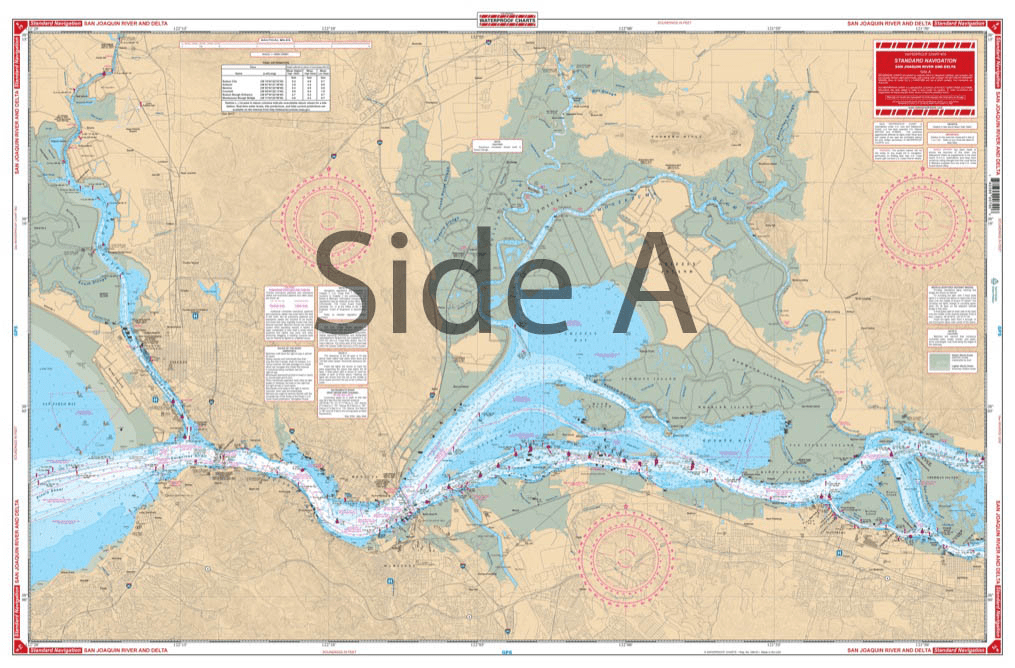
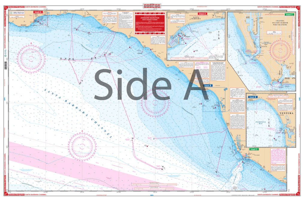
Collection: Waterproof Charts

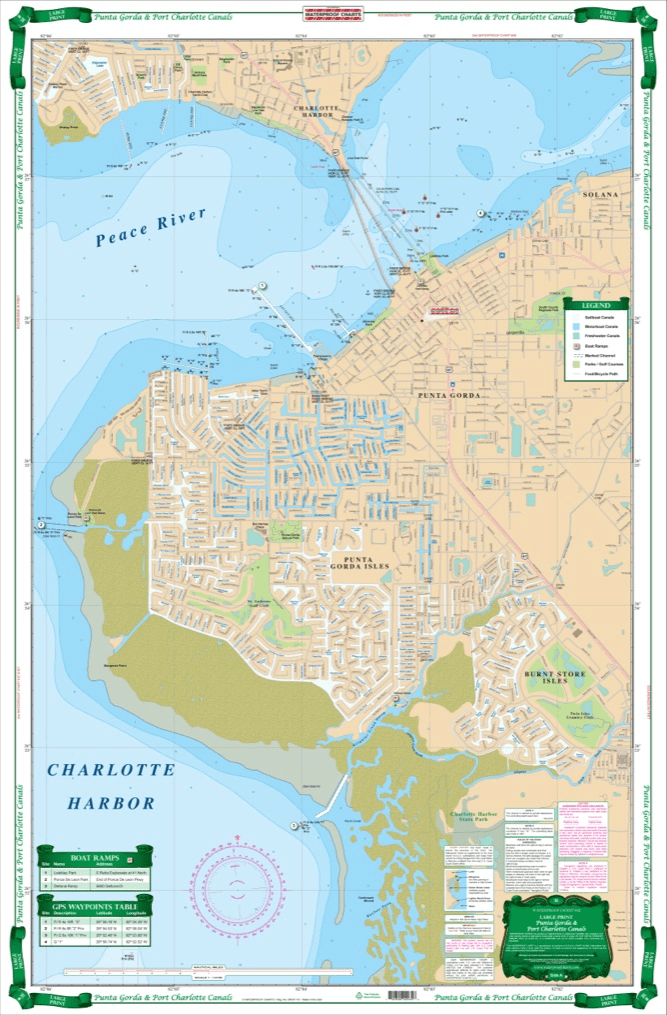
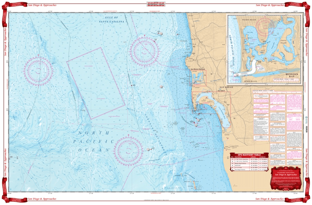
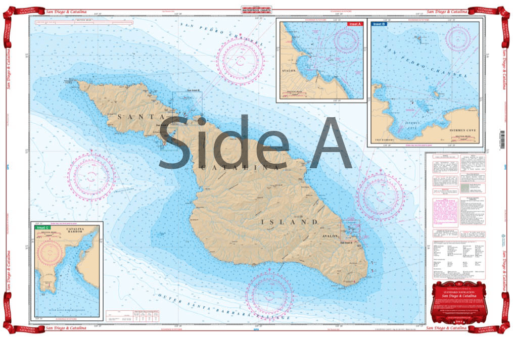
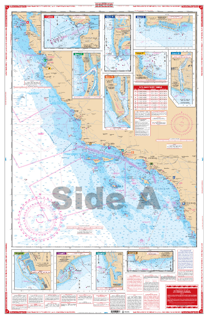
Our waterproof charts are an excellent tool for recreational sailors to navigate with. Using nautical data from the National Oceanic and Atmospheric Administration (NOAA) and National Geospatial-Intelligence Agency (NGA) these charts cover some of the most popular inlets, waterways, and commonly sailed routes in U.S. waters and in the Caribbean. They can be used a substitute to standard nautical charts for small recreation boats only. These charts are laminated and will be protected from any exposure to water.
Categories
62 of 76 products
Sale
Panhandle Offshore Fish and Dive Chart 90F
Sale price
$27.95
List price
$39.95
Sale
Pennekamp Park – Islamorada Offshore Fish and Dive Chart 14F
Sale price
$27.95
List price
$39.95
Sale
Pensacola and Mobile Bays Navigation Chart 94
Sale price
$27.95
List price
$39.95
Sale
Puget Sound Navigation Chart 30
Sale price
$27.95
List price
$39.95
Sale
Punta Gorda and Port Charlotte Canals Large Print Navigation Chart 3E
Sale price
$27.95
List price
$39.95
Sale
San Diego and Approaches Navigation Chart 80
Sale price
$27.95
List price
$39.95
Sale
San Diego and Catalina Navigation Chart 51
Sale price
$27.95
List price
$39.95
Sale
San Francisco Bay Navigation Chart 52
Sale price
$27.95
List price
$39.95
Sale
San Francisco to Mexico Navigation Chart 54
Sale price
$27.95
List price
$39.95
Sale
San Joaquin River and Delta Navigation Chart 79
Sale price
$27.95
List price
$39.95
Sale
Sanibel to Lower Keys Offshore Fish and Dive Chart 9F
Sale price
$27.95
List price
$39.95
Sale
Santa Barbara Channel Navigation Chart 82
Sale price
$27.95
List price
$39.95