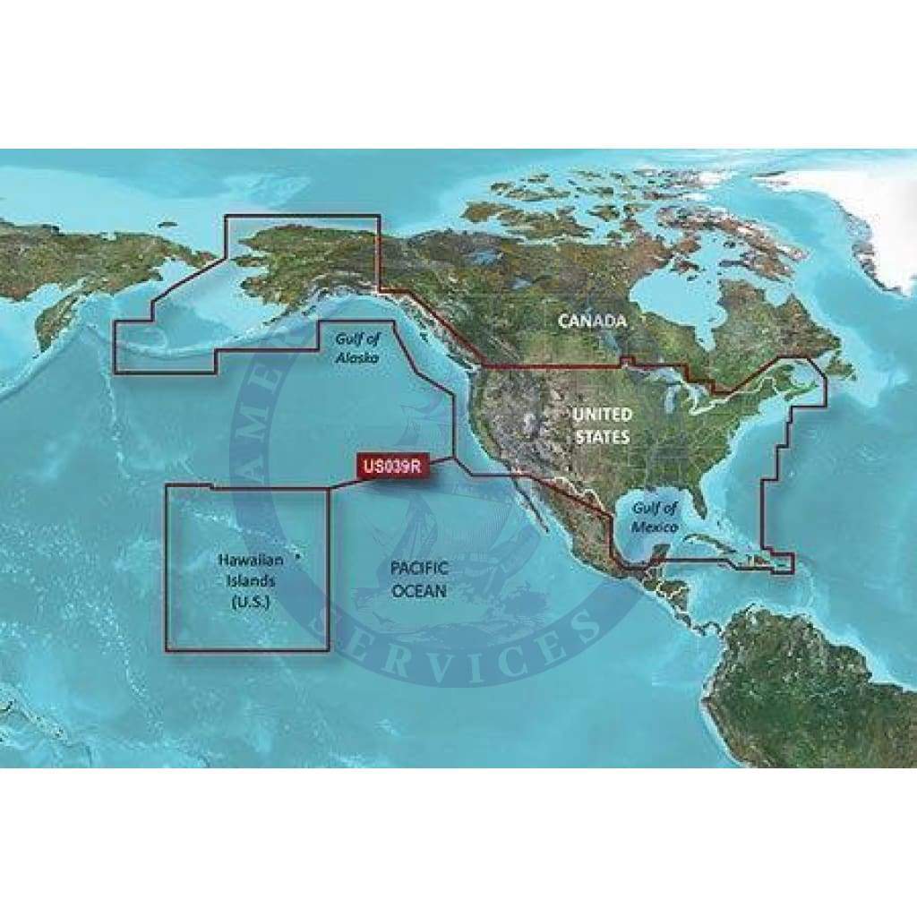
Coverage
Provides detailed coverage of the eastern coast of the U.S. from Key West, FL to the Canadian border and the western coast from the Mexican border to Puget Sound, Alaska, Hawaii and major inland rivers, the U.S. Gulf Coast to the Mexican border and the Mexican Gulf Coast thru to the Yucatan. Canadian coverage includes the entire St. Lawrence Seaway, Nova Scotia and New Brunswick. The Great Lakes are covered in their entirety as are the Lake of the Woods. Coverage includes Prince Edward Island, Anticosti Island, Vancouver Island including the Inside and Outside Passages, Aleutian and Channel Islands, Bahamas, Turks and Caicos Islands, Cozumel, Cuba, Hispaniola, Puerto Rico and the U.S. Virgin Islands.
Now featuring data from Explorer Charts for the Bahamas.
Product Overview
With advanced features like 3D views above and below the waterline, Garmin’s BlueChart g3 Vision HD cartography will give you peace of mind exploring unfamiliar waters.
Garmin BlueChart g3 Vision HD microSD cards give you quality coverage of your selected area and many exciting features to give you total navigating confidence.
3D Viewing allows you to see both a Mariner's Eye view above the water and a Fish Eye view beneath it.
Auto-guidance technology gives you the safest route to your destination.
Aerial photography is constantly updated and provides a real-life view of the area.
Detailed cartography that doesn't stop at the water's edge will give you valuable information about the bottom landscape and navigational landmarks to keep you and your boat safe.
Bathymetric data gives you a clear view of what's under your boat and increases your situational awareness while on the water. It also feeds the 3D Fish Eye view feature.
Coverage
- Raritan Bay to Virginia Beach
- Includes: Tarrytown; Fire Island Inlet; the entire New Jersey coastline; the C&D Canal; Delaware Bay; the Delaware River to Trenton; Chesapeake Bay; Baltimore; the Potomac River to Washington D.C.; Chincoteague Bay; Cape Charles; Newport News; Norfolk
Key Features
-
Precision and Accuracy: View the exact position of your vessel, detailed coastal features, anchorages, obstructions, waterways, tidal stations, currents and contours so you will always know precisely where you are and where you want to go.
-
Fishing Features: In addition to fishing charts, detailed imagery of the marine landscape and contours drawn from bathymetric maps, BlueChart g3 Vision HD cards have an exciting 3D Fish Eye view feature. Using information from the surrounding contours, you can check out the view below the waterline as if you were really there! You can use this to locate fish hiding places or just pretend you are a fish (up to you).
-
3D Viewing: 3D Fish Eye view is coupled with a 3D Mariner’s Eye above-water perspective created using high-resolution satellite imagery and a frequently updated database of aerial photographs so you get a real-world reference and virtual view of anywhere within the map area.
-
More than Marine Maps: Your Vision maps won’t stop at the coastline! View coastal roads, landmarks, and restaurants – including restaurants, lodging, entertainment and much more – for up to five miles inland.
-
Auto Guidance Technology: This feature is especially useful if you’re navigating an area for the first time. Using relevant chart contents, this tool will course the safest navigation for your vessel so you can have a stress-free voyage.