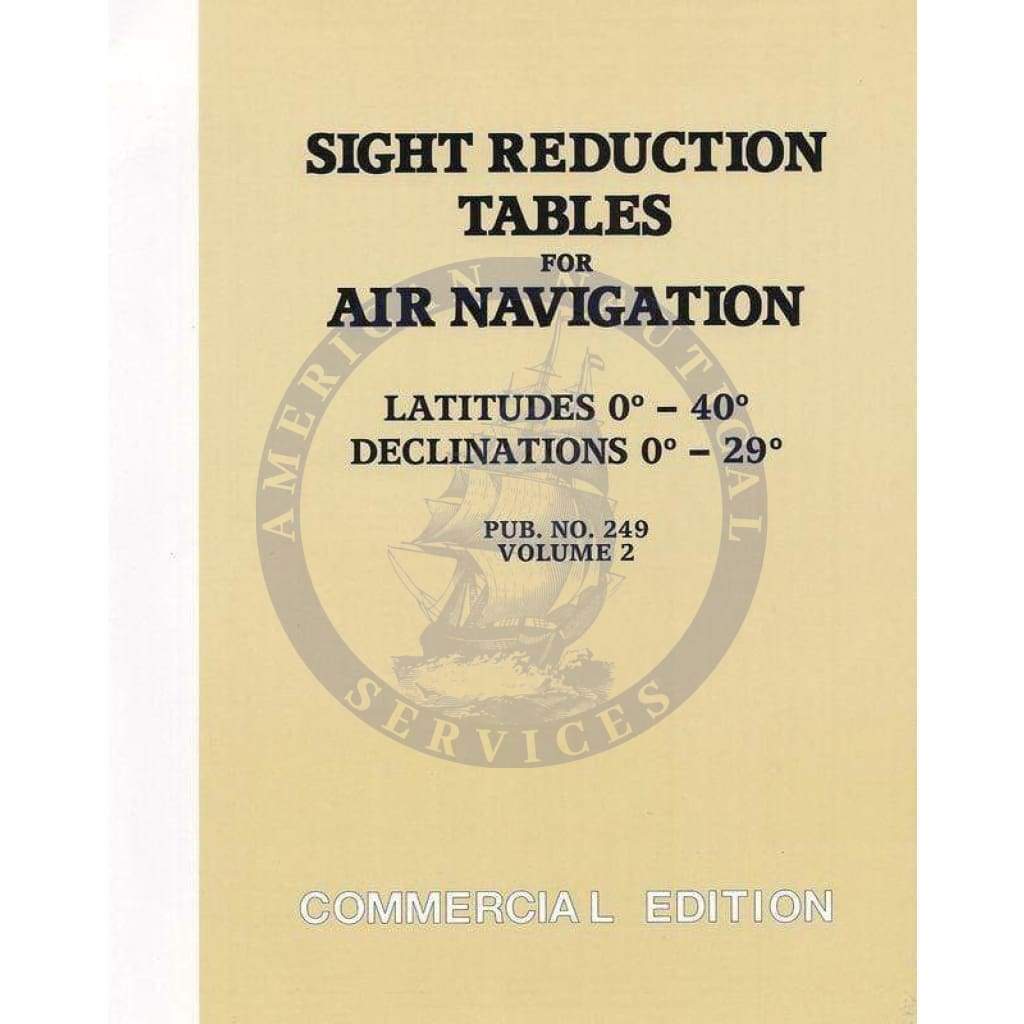
Sight Reduction Tables for Air Navigation - Pub. 249 (HO-249) Vol. 2 Latitudes 0-40

Sale price
$24.95
List price
$29.95
Media:Hardcopy
Media Hardcopy
SKU SRPUB249V2
Publisher National Geospatial-Intelligence Agency
UPC 852686964417
Pickup available at 3311 S. Andrews Ave.

Usually ready in 24 hours

View store information

SIGHT REDUCTION TABLES FOR AIR NAVIGATION
Pub. No. 249 (HO-249) Volume 2 Latitudes 0 - 40 & Declinations 0 - 29 – Commercial Edition

Sight Reduction Tables for Air Navigation (aka: Rapid Sight Reduction Tables for Navigation)

Volume I, used by both the marine and air navigator, contains altitude (to the nearest minutes) and true azimuth values of seven selected stars for the complete ranges of latitude and hour angle of Aries. These seven stars represent the best selection for observation at any given position and time, and provide the data for presetting instruments before observation and for sight reduction afterwards.

Volumes II and III cover latitudes 0°- 40° and 39°- 89° respectively and are primarily used by the air navigator in conjunction with observations of celestial bodies to calculate the geographic position of the observer.


Volume 1 – (Selected Stars) Epoch 2020
Volume 2 – Latitudes 0°- 40°, Declinations 0°- 29°
Volume 3 – Latitudes 39°- 89°, Declinations 0°- 29°


IMPA Code: 370739 (37 07 39)

Customer Reviews

Based on 1 review
100%
(1)
0%
(0)
0%
(0)
0%
(0)
0%
(0)
D
Danick Leduc

Sight Reduction Tables for Air Navigation - Pub. 249 (HO-249) Vol. 2 Latitudes 0-40

Customer Reviews

Based on 1 review
100%
(1)
0%
(0)
0%
(0)
0%
(0)
0%
(0)
D
Danick Leduc

Sight Reduction Tables for Air Navigation - Pub. 249 (HO-249) Vol. 2 Latitudes 0-40

You may also like