Overview
The BlueChart g3 Vision VUS513L covers the Florida Peninsula from St. Mary’s, Georgia, through Miami to Fort Myers, plus the Florida Keys, Bahamas, and Turks and Caicos Islands. The preloaded microSD/SD card combines Garmin and Navionics chart content with Auto Guidance, 1-foot contours, depth shading, satellite imagery, and 3D views for compatible Garmin chartplotters.
If your current Garmin chartplotter or marine handheld is not compatible with the newer Garmin Navionics+™ mapping format, you can still enjoy our previous-generation BlueChart g3 coastal charts and LakeVü g3 inland maps for reliable navigation and fun times on the water. Check chartplotter compatibility.
Premier Coastal Charts
- Industry-leading coverage, clarity and detail with updated coastal charts that feature integrated Garmin and Navionics® content
- Auto Guidance¹ technology quickly calculates a suggested route by using your desired depth and overhead clearance
- Includes Depth Range Shading for up to 10 depth ranges, enabling you to view your target depth at a glance
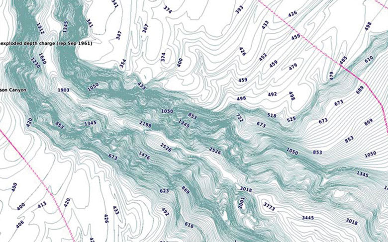
- Up to 1’ contours provide a more accurate depiction of the bottom structure for improved fishing charts
- To give a clear picture of shallow waters to avoid, the Shallow Water Shading allows for shading at a user-defined depth
Experience unparalleled coverage and brilliant detail when you’re on the water. BlueChart g3 Vision coastal charts provide industry-leading coverage, clarity and detail with integrated Garmin and Navionics content.
Coverage
Note: The areas outlined in color depict the approximate coverage areas of the relief shading data included in the Vision card.
Detailed coverage of the Florida Peninsula from St. Mary’s, Georgia through the Port of Miami to Fort Myers on the Gulf. Coverage includes the St. Johns River, Crescent Lake, Lake George, Lake Monroe, Lake Jesup, Lake Harney, Lake Okeechobee, the St. Lucie Canal, and Caloosahatchee River in full. Detailed coverage also includes the Florida Keys, Bahamas and Turks and Caicos Islands. Bathymetric coverage of offshore features from Blake Canyon through Santaren Channel to the Tortugas Terrace, including the Blake Escarpment and Great Bahama Bank.
Bluechart G3 Vision Features
Auto Guidance
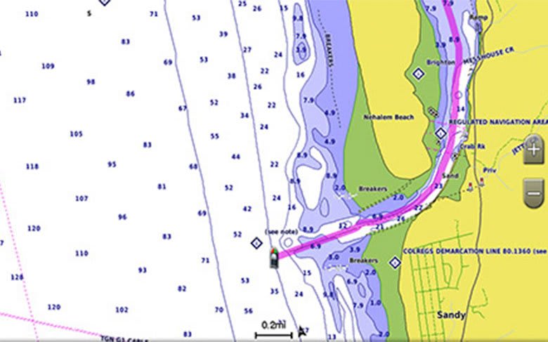
Whether you are fishing or cruising, select a spot, and get a route showing you the general path and nearby obstructions at a safe depth1.
High-resolution Relief Shading
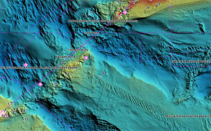
This exceptional shading feature combines color and shadow to give you an easy-to-interpret view of bottom profile, making it easy to find artificial reefs, underwater shelves and more. High-resolution relief shading is available as a free downloadable feature via the ActiveCaptain® app.
Depth Range Shading
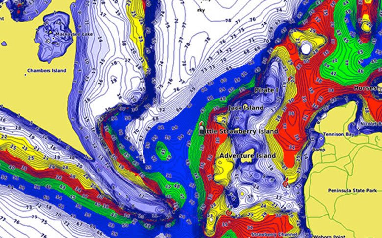
This feature displays high-resolution Depth Range Shading for up to 10 depth ranges so you can view your designated target depth.
Shallow Water Shading
To give a clear picture of shallow waters to avoid, this feature allows for shading at a user-defined depth.
Detailed Contours
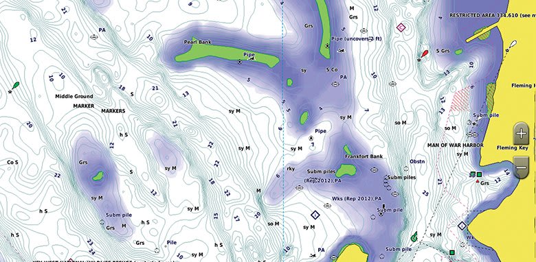
BlueChart g3 Vision charts feature 1’ contours that provide a more accurate depiction of bottom structure for improved fishing charts and enhanced detail in swamps, canals and port plans.
High-resolution Satellite Imagery
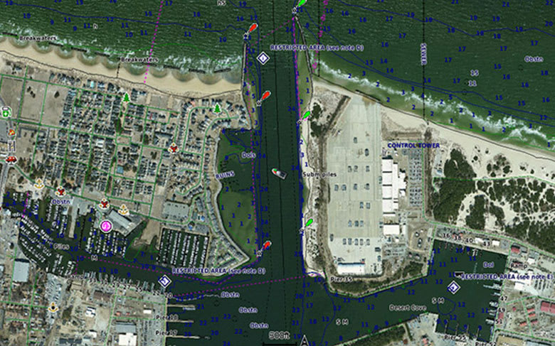
High-resolution satellite imagery with navigational charts overlaid gives you a realistic view of your surroundings. It’s our most realistic charting display in a chartplotter — ideal for entering unfamiliar harbors or ports.
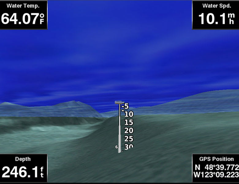
FishEye View
This underwater perspective shows 3-D representation of bottom and contours as seen from below the waterline. Interface with sonar data for a customized view.
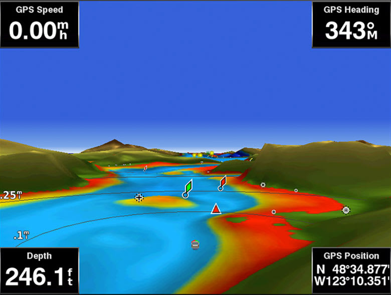
MarinerEye View
This view provides a 3-D representation of the surrounding area both above and below the waterline.
Aerial Photography
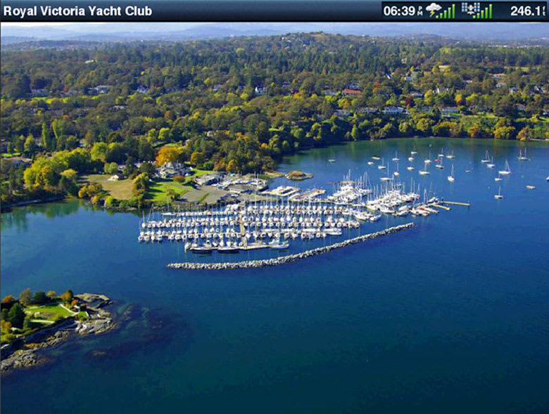
Crystal-clear aerial photography shows exceptional detail of many ports, harbors and marinas and is ideal when entering unfamiliar ports.
¹Auto Guidance is for planning purposes only and does not replace safe navigation practices.
Engineering enhancements are ongoing and may not be reflected in the pictures, videos and specifications.
Comparison
| Feature |
BlueChart g3 Vision |
BlueChart g3 |
| Integrated Garmin and Navionics content |
• |
• |
| Auto Guidance¹ technology |
• |
• |
| Depth range shading |
• |
• |
| Up to 1' contours |
• |
• |
| Shallow water shading |
• |
• |
| Raster cartography² |
• |
• |
| High-resolution relief shading |
• |
|
| Unique 3-D views |
• |
|
| High-resolution satellite imagery |
• |
|
| Aerial photos |
• |
|
¹Auto Guidance is for planning purposes only and does not replace safe navigation operations.
²Raster cartography is available for selected countries. It cannot be viewed on echoMAP CHIRP and ECHOMAP Plus combos but can be viewed on mobile devices via the ActiveCaptain mobile app.
Requirements
microSD/SD Card Requirements
The BlueChart g3 Vision VUS513L (010-C0742-00) is supplied as a preloaded microSD/SD card. Garmin data cards are preformatted for compatible Garmin devices. Do not reformat the card or modify, copy, or transfer its data to another card or device. View Garmin’s card requirements and limitations.
Chartplotter Compatibility
Compatible Garmin chartplotters include supported GPSMAP 7x2, 9x2, 10x2, 12x2, 7400/7600, 8400xsv/8600xsv, and 85x0/8700 series, plus supported ECHOMAP Plus and ECHOMAP UHD models. Compatibility varies by specific device and software. Check Garmin’s chartplotter compatibility tool before purchasing. Contact ANS if you need help selecting the correct chart format.
FAQs
What area does the BlueChart g3 Vision VUS513L cover?
The VUS513L covers the Florida Peninsula from St. Mary’s, Georgia through Miami to Fort Myers on the Gulf Coast. It includes the St. Johns River, Lake Okeechobee, St. Lucie Canal, Caloosahatchee River, Florida Keys, Bahamas, and Turks and Caicos Islands.
Does the VUS513L cover the Florida Keys and Bahamas?
Yes. It covers the Florida Keys, the Bahamas, and the Turks and Caicos Islands. Offshore bathymetric coverage extends from Blake Canyon through Santaren Channel to the Tortugas Terrace, including the Blake Escarpment and Great Bahama Bank.
What is the difference between BlueChart g3 Vision and BlueChart g3?
Both include integrated Garmin and Navionics content, Auto Guidance, 1-foot contours, Depth Range Shading, and Shallow Water Shading. BlueChart g3 Vision adds high-resolution relief shading, high-resolution satellite imagery, and 3D views such as FishEye and MarinerEye.
Which Garmin chartplotters are compatible with BlueChart g3 Vision?
Supported models include selected GPSMAP 7x2, 9x2, 10x2, 12x2, 7400/7600, 8400xsv/8600xsv, and 85x0/8700 series, plus selected ECHOMAP Plus and ECHOMAP UHD models. Compatibility depends on the exact device. Check Garmin’s compatibility tool or contact ANS before purchasing.
Does Auto Guidance replace traditional navigation practices?
No. Auto Guidance calculates suggested routes using charted depth and overhead clearance parameters for planning. Mariners must maintain a proper lookout, monitor current conditions, and use their own judgment.
Can multiple BlueChart g3 Vision cards be used at the same time?
Multiple chart cards can be installed when a compatible chartplotter has available card slots. The displayed coverage can transition between adjacent regional cards.