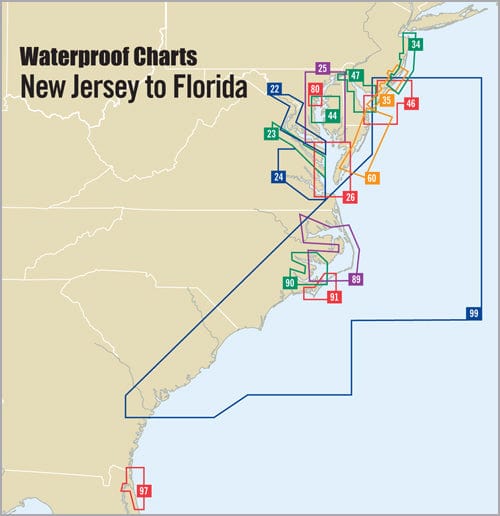
The Annapolis Waterproof Chart, 2nd Edition, is a must-have for any mariner navigating the beautiful waters of Annapolis and beyond. This expertly crafted chart provides precise navigation details, making it easy to explore the local waterways and enjoy your time on the water.
Measuring 24" x 36", this chart offers clear, detailed illustrations with scales of 1:40,000 and 1:10,000, ensuring you have the most accurate information for your journey. One of the standout features of this waterproof chart is its durability; it is designed to withstand spills, splashes, and marine conditions, securing your navigational tools against the elements.
Key features of the Annapolis Waterproof Chart include:
- Comprehensive information on waypoints for major buoys, helping you navigate safely.
- Clearly marked courses and distances that simplify your planning and sailing experience.
- Identified boat ramp locations for easy access to the water.
Whether you are a seasoned sailor or a recreational boater, this waterproof chart is an essential resource. It allows you to plot your course with confidence, ensuring a safe and enjoyable trip each time. With the Annapolis Waterproof Chart, you'll have the freedom to explore the scenic beauty of Herring Bay and the surrounding coastline, knowing that you are equipped with reliable navigational tools.
Enhance your boating experience with the Annapolis Waterproof Chart, 2nd Edition. Experience the peace of mind that comes from having a durable and accurate chart by your side. Grab yours today and set sail towards new adventures!


