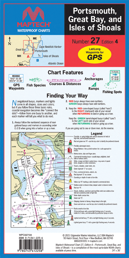
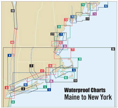
All received well and wish the hard copy come with digital .
The 2026-2027 Sailors Guide to the Windward Islands, 22nd Edition
I ordered a couple of training charts thinking I would get them after a couple of weeks… buy I received the 2 days later.Good heavy stock paper also. Thank you!
Purchased as a commemorative gift for our yacht club commodore.
What great service! I called on Sunday (when they are closed) and was helped by a gentleman who was in the office writing a report. Got the book on Friday via UPS.


