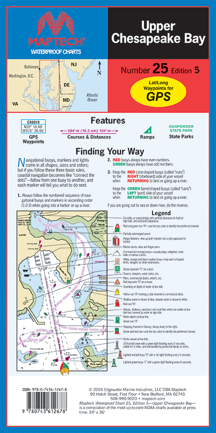
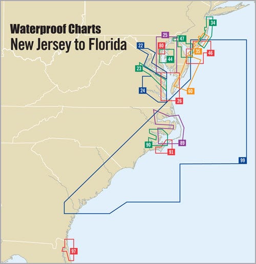
I wanted an updated map of lk st Clair and it filled it nicely, probably going to frame it and put it up on my basement wall.
Good price and quick delivery.
Sent quickly and exactly as described.
I'm been looking for this chart for quite some time it always seems there was no shipping to puerto rico with ANS it was fast and they shipped to PR very reliable and good people
Looking for this chart kit that’s no longer available and really not interested in cobbling one together from a single sheet I found exactly what I was looking for on your website. Excellent product, great price and very responsive business! Thank you!!


