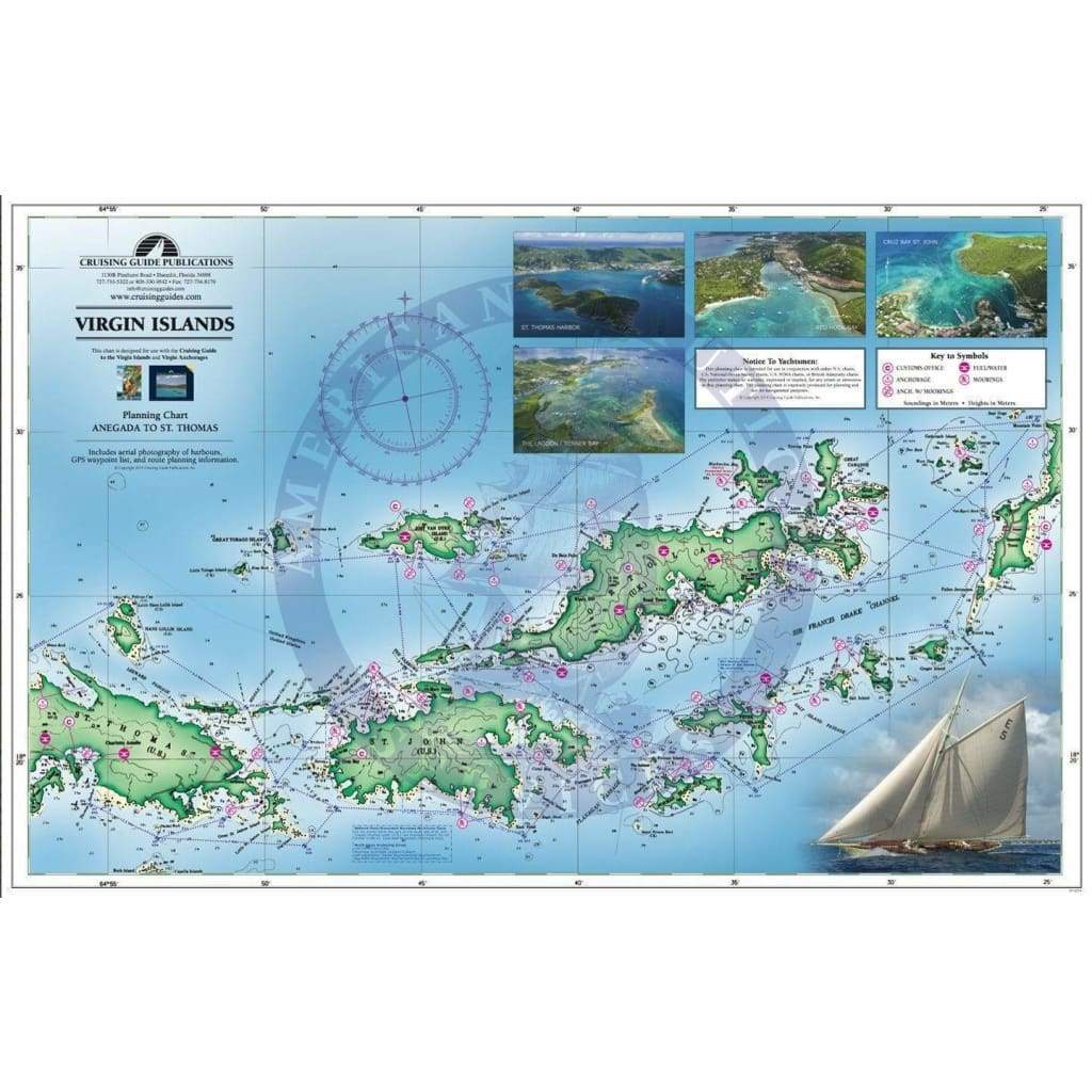
Waterproof Planning Chart of the Virgin Islands, 23rd Edition

Sale price
$9.95
List price
$12.95
Media:Folded Chart
Media Folded Chart
SKU CGVICHART23
Publisher Cruising Guide Publications
ISBN 9798986585819
Pickup available at 3311 S. Andrews Ave.

Usually ready in 24 hours

View store information

Set sail with confidence using our highly detailed waterproof Planning Chart of Virgin Islands, 23rd Edition, designed for both avid sailors and casual cruisers. This chart is your indispensable companion for exploring the picturesque waters from St. Thomas to Anegada, encompassing the U.S. and British Virgin Islands.

Expertly printed on durable, waterproof material, this planning chart ensures you can navigate with ease, rain or shine. With anchorage and mooring locations clearly marked, as well as GPS coordinates for precision navigation, every detail is crafted for your sailing adventure.

  • Double-sided printing provides comprehensive coverage of the entire region, showcasing crucial sailing routes and distances between waypoints.
  • The aesthetically pleasing design makes it a perfect addition to your home decor once the voyage has ended.

This Planning Chart of Virgin Islands is specifically designed for use alongside The Cruising Guide to the Virgin Islands, offering a duplicate of key features with the added benefit of being waterproof. Whether you are a seasoned sailor or a beginner charting your first course, this chart will enhance your sailing experience.

Folding easily for storage and ready for use at a moment's notice, it is perfect for your cockpit or navigation station. Don’t leave the dock without this essential tool!

Charts come folded

Customer Reviews

Be the first to write a review
0%
(0)
0%
(0)
0%
(0)
0%
(0)
0%
(0)

You may also like