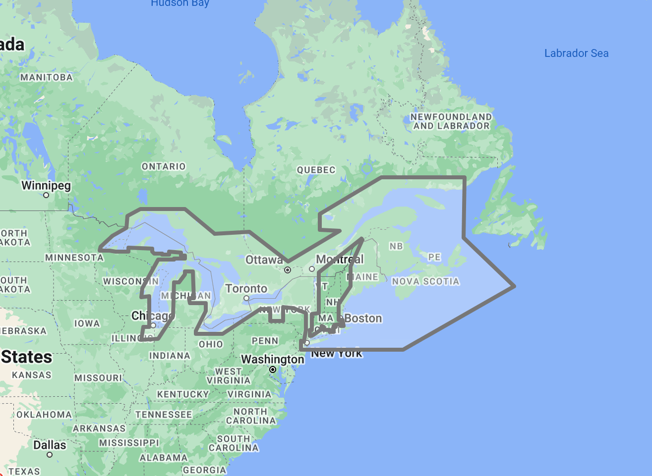
The TimeZero TZ Map: Great Lakes delivers comprehensive navigational coverage for the largest freshwater system on earth, five interconnected lakes spanning over 244,000 square kilometers of navigable water shared by the United States and Canada. Built on the advanced TZ Maps platform developed by TimeZero, this chart pack integrates multiple chart types, official hydrographic raster charts, detailed vector data, high-resolution bathymetric data, and satellite imagery into a single navigational package supporting safe passage through inland waters that behave like open ocean in terms of wave height, weather exposure, and distance from shore, yet present the confined-water challenges of narrow shipping channels, fluctuating water levels, and seasonal ice coverage.
Coverage encompasses all five Great Lakes: Lake Superior (the largest and deepest, reaching 406 meters), Lake Michigan, Lake Huron including Georgian Bay and the North Channel, Lake Erie (the shallowest, averaging only 19 meters), and Lake Ontario. The connecting waterways are equally critical: the St. Marys River and Soo Locks between Superior and Huron, the Straits of Mackinac between Michigan and Huron, the St. Clair River, Lake St. Clair, and the Detroit River between Huron and Erie, the Welland Canal bypassing Niagara Falls between Erie and Ontario, and the St. Lawrence Seaway extending from Lake Ontario to the Gulf of St. Lawrence. This coverage area supports the Great Lakes commercial fleet moving iron ore, grain, limestone, and coal through the Seaway system, the largest concentration of recreational boating in North America, and the commercial fishing operations active across all five lakes.
Raster data within the TZ Map is georeferenced, featuring digital images of official charts from two national hydrographic services: NOAA (covering U.S. waters) and the Canadian Hydrographic Service (CHS) covering Canadian waters. The bi-national chart program reflects coordinated survey efforts across a shared waterway system where the international boundary runs through the middle of four of the five lakes. Vector data complements raster imagery with a layered database recording every nautical feature, delivering queryable depth information, shipping lane boundaries, anchorage designations, and navigational object data across the full coverage area.
The BathyVision feature provides dynamic 3D bottom data display essential for navigating the shallow western basin of Lake Erie where average depths hover around 7 meters, the rock-bound channels of the North Channel and Georgian Bay, the dredged commercial shipping lanes that provide the only deep-water access to major Great Lakes ports, and the connecting river channels where current, depth, and commercial traffic density create confined-water navigation conditions. High-definition satellite imagery options are available for selected port areas and popular anchorages.
Compatible with TimeZero Navigator v5, TimeZero Professional v5, and Furuno NavNet TZtouch4 (sold separately).
Overview
Feature Highlights Strip
Navigate with integrated raster and vector chart data sourced from official hydrographic offices and enriched with detailed nautical features.
Visualize the bottom structure with high-resolution bathymetry and BathyVision 3D contour mapping.
Overlay satellite photography with chart data.
View realistic shoreline altimetry and perspective horizons.
Customize chart display by toggling layers.
Compatible with TimeZero Navigator v5 and Professional v5.
High-Resolution Bathymetry
Navigate Shallow Basins, Shipping Channels, and Rocky Approaches with Confidence
High-resolution bathymetric data transforms chart contour lines into intuitive 3D bottom representations, providing essential depth awareness when navigating into Great Lakes ports, river channels, and the shallow-water areas that characterize significant portions of the system. The graphic interpretation of contour data creates detailed bottom profiles invaluable for approach planning and route selection in waters where fluctuating lake levels can reduce available depth by a meter or more compared to charted datum, and where bottom composition ranges from the soft mud of Lake Erie to the granite ledges of Lake Superior.
The BathyVision feature displays bottom topography in color and contour line overlays, allowing mariners to dynamically adjust the visualization to suit their navigation needs. This capability is particularly critical across the Great Lakes, where Lake Erie’s western basin averages only 7 meters in depth, and wind-driven seiche events can temporarily reduce available water by an additional meter or more on the windward shore, creating grounding hazards across areas that appear navigable under normal conditions, the commercial shipping channels through the St. Marys River, Detroit River, and Welland Canal involve transits through dredged fairways where deep-draft Lakers and ocean-going Salties share confined channels with recreational traffic during the navigation season, Georgian Bay and the North Channel present thousands of islands, shoals, and submerged rock formations in a cruising area where chart scale limitations mean not every hazard is individually charted, and Lake Superior’s rocky northern shoreline features harbor approaches guarded by submerged ledges and reef formations that extend offshore with minimal surface indication.
Mariners entering the Soo Locks approach, navigating the western Lake Erie islands, threading the Thirty Thousand Islands of Georgian Bay, transiting the Straits of Mackinac, or approaching commercial ports at Duluth, Chicago, Cleveland, or Toronto benefit from bottom structure visualization that flat chart views cannot replicate. In the Great Lakes, where water level fluctuations mean that charted depths represent a reference datum rather than guaranteed available water, 3D depth awareness is a practical safety tool rather than a convenience feature.
Raster and Vector Chart Fusion
Official Charts Enhanced with Intelligent Data Layers
TZ Maps combines two complementary chart formats to deliver maximum navigational confidence. Georeferenced raster data presents true-color digital copies of official charts from NOAA and the Canadian Hydrographic Service, the two national authorities responsible for charting all Great Lakes navigable waters. These images provide a reliable visual reference that experienced navigators can interpret immediately, preserving the distinct cartographic conventions of both national charting programs.
Vector data operates alongside raster imagery using a database-driven approach that stores information in discrete layers and records every nautical feature independently. This format enables interactive chart queries, object-based search, and depth value interrogation that static raster imagery cannot provide. Across the Great Lakes, where shipping lanes, vessel traffic service zones, security zones around critical infrastructure, military operating areas, environmental protection zones, and seasonal speed restriction areas create complex regulatory overlays particularly dense around major commercial ports and connecting waterways, the ability to query and filter individual chart objects supports navigation planning that accounts for the full regulatory landscape.
The bi-national coverage area means mariners regularly cross between U.S. and Canadian chart jurisdictions, often multiple times within a single day’s passage. TZ Maps integrates both national datasets seamlessly, eliminating the coverage transitions and style changes that occur when switching between NOAA and CHS chart folios in shared waters where the international boundary is often the only line on the chart that distinguishes one jurisdiction from the other.
Satellite Photo Overlay
See the Real Landscape Behind the Chart
TZ Maps fuses satellite photography with raster and vector chart data, presenting only the visual information essential for safe navigation. Standard-resolution satellite images are included in every TZ Maps data pack, with high-definition options available for selected areas.
This overlay capability proves especially valuable across the Great Lakes, where visual identification of harbor breakwaters, river entrances, and marina positions against varied shoreline types aids safe approach navigation. Mariners arriving at unfamiliar harbors along the low-lying southern shores of Lakes Erie and Michigan, where harbor entrances present minimal visual profile from offshore, identifying marina entrances among the developed waterfront of Chicago, Detroit, or Toronto, or locating anchorage positions among the forested islands of Georgian Bay and the North Channel can correlate chart data with actual terrain appearance before committing to the final approach. On Lake Superior, where long stretches of undeveloped wilderness shoreline make harbor identification challenging from offshore, satellite overlay provides the visual context that confirms chart position against featureless terrain.
Realistic Shoreline Views
Identify Port Entries and Coastal Features from the Horizon
TZ Maps employs altimetry to render shorelines with realistic elevation perspective, creating 3D views that simulate the visual horizon as seen from the bridge. This perspective rendering aids instant identification of port entrances, river mouths, and specific shoreline landmarks during approach.
The Great Lakes present varied coastal profiles that altimetric rendering addresses with equal effectiveness. Lake Superior’s north shore rises in dramatic Precambrian Shield cliffs, providing bold visual landmarks but with multiple bays and harbor entrances that look similar from offshore. The southern shores of Lakes Michigan and Erie are predominantly flat, where harbor entrance piers and lighthouse structures are the only features visible above the horizon from seaward approach. Georgian Bay’s Thirty Thousand Islands create a visual maze where identifying the correct channel entrance among countless similar rock formations demands advance visual reconnaissance. The connecting river systems present urban industrial shorelines where commercial port facilities, bridge structures, and waterfront development provide landmark references that altimetric rendering translates into recognizable visual previews before arrival.
Detailed Land Information
Understand the Coastline and Nearby Infrastructure
Beyond waterway navigation data, TZ Maps integrates detailed land information that enhances understanding of shorelines and nearby infrastructure. Road networks, settlement locations, and coastal facility positions are rendered alongside maritime chart data.
This integrated land detail supports voyage planning across the Great Lakes, where the concentration of marine services varies dramatically between the well-equipped marinas of the southern lakes and the remote stretches of Lake Superior’s north shore and Georgian Bay’s outer islands. Understanding which harbors offer fuel, haul-out facilities, pump-out stations, and emergency repair services is essential when planning passages in a system where the next marina may be a full day’s run across open water. The seasonal nature of Great Lakes navigation, with most recreational facilities operating only from May through October, adds a time dimension to facility planning that land information layers help contextualize.
Software Compatibility
Purpose-Built for TimeZero Navigation Software
The TZ Map: Great Lakes is designed for use with TimeZero navigation software platforms and compatible Furuno hardware. Compatible applications include:
TimeZero Navigator v5: Full-featured navigation software for recreational and professional mariners
TimeZero Professional v5: Advanced navigation platform with commercial vessel capabilities
Furuno NavNet TZtouch4: Integrated chartplotter hardware with native TZ Maps support
TZ Maps are delivered as data packs that load directly into compatible software and hardware installations. Mariners using Garmin, Raymarine, Simrad, or other chartplotter platforms should consult the ANS digital charts catalog for compatible chart products, including Navionics and C-MAP options available through ANS.
Need assistance determining the right chart format for your bridge electronics? Contact the ANS navigation team for personalized guidance on matching chart products to your vessel equipment.
Complete Setup
Complete Your Great Lakes Navigation Setup
TimeZero Navigation Software
TZ Maps require compatible TimeZero software or Furuno hardware. Choose TimeZero Navigator v5 for recreational cruising, TimeZero Professional v5 for advanced commercial navigation, or confirm Furuno NavNet TZtouch4 compatibility for integrated bridge systems.
Additional TZ Map Regions
Combine with TZ Map: North America | USA for continuous coverage from the Great Lakes through the U.S. coastal waterways. Add TZ Map: Canada East & North for the St. Lawrence River extension from Lake Ontario to the Gulf of St. Lawrence and the Canadian Maritimes. Multiple TZ Map packs load seamlessly within the same TimeZero software installation.
Great Lakes Cruising Guides
Supplement digital chart data with detailed anchorage descriptions, lock transit procedures, harbor approach instructions, and local facility information from dedicated Great Lakes cruising guides available through ANS.
NOAA and CHS Paper Charts
Vessels carrying paper chart backup for Great Lakes waters can source NOAA and CHS charts through the ANS Chart Selector. With NOAA’s transition away from traditional paper chart production, consult the ANS team for current chart format availability.
Need Help Choosing the Right Charting Solution?
The ANS navigation team provides personalized guidance on chart selection, software compatibility, and compliance requirements for vessels of all types. Whether outfitting a yacht for a Great Lakes circumnavigation or equipping a commercial vessel for Seaway operations, ANS specialists match chart products to your vessel, cruising plans, and bridge electronics.
Phone: +1 (954) 522-3321
WhatsApp: +1 (954) 292-4212
Email: sales@amnautical.com
Hours: Mon-Fri 8 am-5 pm | Sat 9 am-5 pm EST
FAQs
Q1. What areas does the TZ Map: Great Lakes cover?
This chart pack provides navigational coverage for all five Great Lakes (Superior, Michigan, Huron, Erie, Ontario), Georgian Bay and the North Channel, all connecting waterways including the St. Marys River, Straits of Mackinac, St. Clair River, Lake St. Clair, Detroit River, and the Welland Canal, and the St. Lawrence Seaway from Lake Ontario to the Gulf of St. Lawrence.
Q2. What software and hardware is this TZ Map compatible with?
This TZ Map is compatible with TimeZero Navigator v5, TimeZero Professional v5, and Furuno NavNet TZtouch4. It does not operate on standalone chartplotters from Garmin, Raymarine, Simrad, or other manufacturers.
Q3. Can TZ Maps be used for SOLAS chart carriage compliance?
TZ Maps are designed for navigation planning and situational awareness. Vessels subject to SOLAS Chapter V carriage requirements or U.S. Coast Guard regulations for Great Lakes commercial operations should verify that their chart products meet applicable standards. Contact ANS for guidance on compliant chart solutions for Great Lakes operations.
Q4. What chart data types are included in the TZ Map pack?
Each TZ Map pack integrates georeferenced raster charts (official NOAA and Canadian Hydrographic Service imagery), vector chart data, high-resolution bathymetry with BathyVision 3D display, satellite photography overlay, and detailed land information, including shoreline features and infrastructure.
Q5. Can multiple TZ Map regions be used simultaneously?
Multiple TZ Map data packs can be installed within the same TimeZero software environment, providing seamless coverage transitions when navigating between regions. Combining the Great Lakes pack with TZ Map: North America | USA provides continuous coverage from the inland lakes through U.S. coastal waters, while adding TZ Map: Canada East & North extends coverage through the full St. Lawrence system to the Canadian Maritimes.
Q6. How do fluctuating Great Lakes water levels affect chart accuracy?
Great Lakes chart depths are referenced to a low water datum established for each lake. Actual water levels fluctuate seasonally and annually based on precipitation, snowmelt, and regulated outflow conditions. Current lake levels are published by NOAA and Environment Canada. Mariners should compare current water level readings against chart datum to determine actual available depth, particularly in the shallow western basin of Lake Erie, connecting river channels, and harbor approaches where charted depths may be marginal for deeper-draft vessels during low-water periods.
Like the chart which covers my part of the coast, but the extra width beyond the chart due the on-demand printing process is a little annoying. I had to cut the extra bits off and trim it down. Otherwise great service.