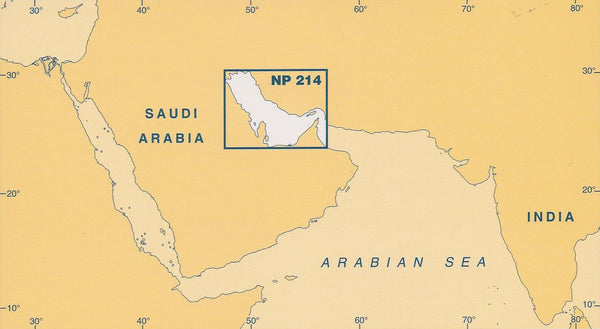
The Admiralty Co-Tidal Atlas: Persian Gulf (NP214), 2nd Edition 1999, is an essential resource for mariners and marine enthusiasts navigating the complex waterways of the Persian Gulf. This atlas provides a detailed graphical representation of key tidal streams, complete with hourly rates and directions, making it a valuable tool for safe and efficient navigation.
Understanding tidal movements is crucial for planning voyages and ensuring vessel safety. The atlas features:
-
Detailed Diagrams: The atlas displays intricate diagrams highlighting major tidal streams in the Persian Gulf, allowing users to visualize tidal patterns.
-
Calculated Rates: It includes graded arrows that illustrate Mean, Neap, and Spring tidal rates in tenths of a knot, providing accurate information for maritime operations.
This specific edition establishes a comprehensive reference for those unfamiliar with the unique characteristics of the Persian Gulf's tides. Additionally, a helpful diagram is included, enabling users to calculate tidal stream rates for any given date, thus enhancing planning and operational efficiencies.
Prepared by the United Kingdom Hydrographic Office, this Persian gulf tidal atlas ensures that all users, from casual boaters to seasoned professionals, have access to reliable tidal information. With the Admiralty Co-Tidal Atlas: Persian Gulf (NP214), you can navigate the intricate waters with confidence and ease.