Description
This chart has been canceled by NOAA as of 10/02/2024 and is no longer maintained with updated data.
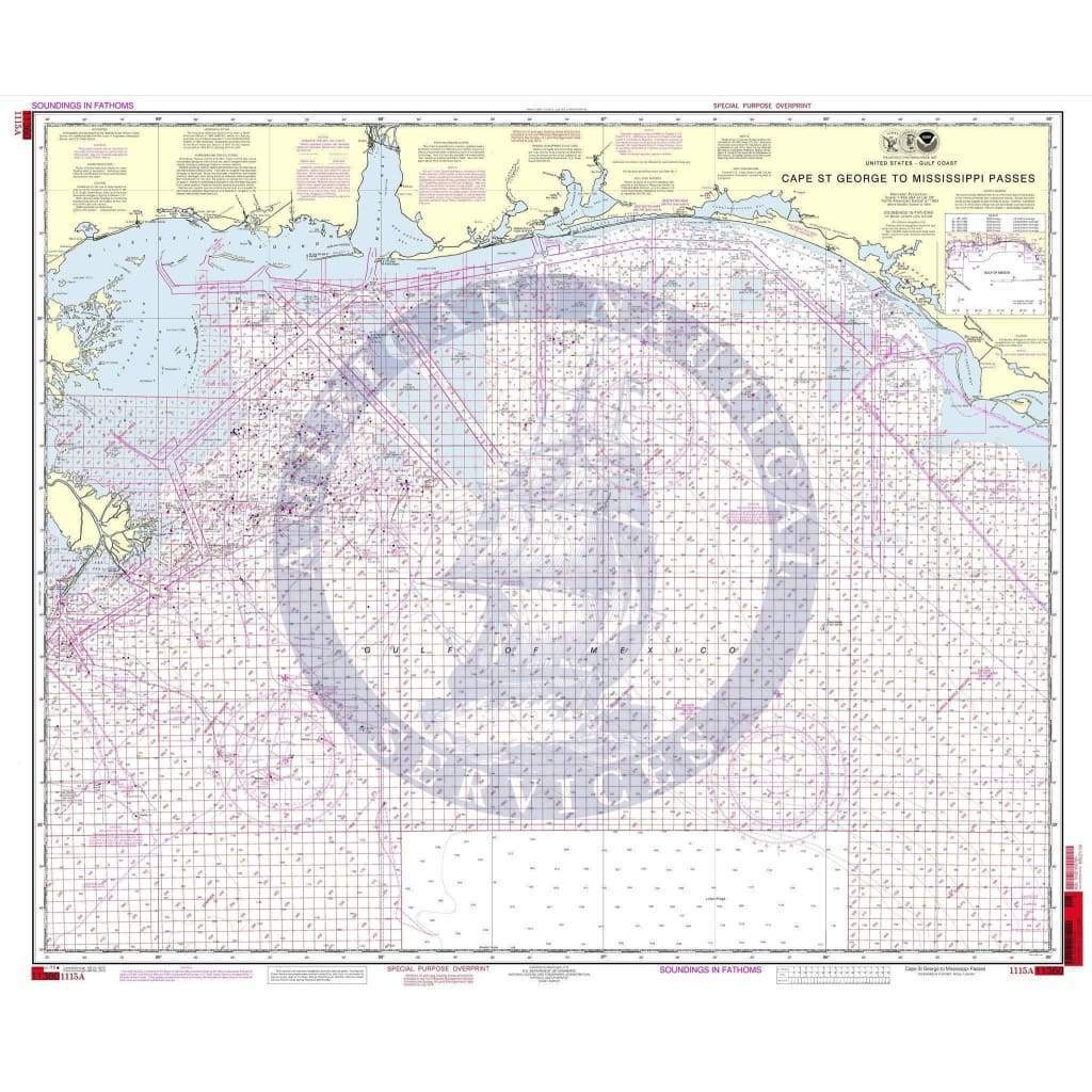
NOAA Nautical Chart 1115A: Cape St. George to Mississippi Passes (Oil and Gas Leasing Areas) is a standard navigation chart used by commercial and recreational mariners alike. Printed on-demand on water-resistant paper, this chart meets the definition of a nautical chart in SOLAS Chapter V Regulation 2.2 and satisfies carriage requirements in SOLAS Chapter V Regulation 19.2.1.4.
Available Versions
1. NOAA Custom Chart (For Navigation)
2. NOAA Traditional Chart (Not for Navigation)
- NOAA announced in 2019 its plan to sunset Raster Nautical Charts.
- The Raster Chart sunset program was completed in December 2024.
- This traditional chart is no longer updated and is not suitable for navigational use.
- Retained for historical and reference purposes only.
- [View in Nautical Chart Viewer]
Printing & Material
- On-demand printing ensures the latest available version at the time of order.
-
Water-resistant paper for durability in marine environments.
Additional Information
NOAA Custom Chart (Updated)
Scale: 250000
Paper Size: 36.0" x 49.0"
Actual Chart Size: 46.5" x 35.2"
Traditional NOAA Chart (Sunsetted)
Scale: 456,394
Paper Size: 36.0" x 43.0"
Actual Chart Size: 39.6" x 33.8"
Edition #: 44
Edition Date: 2010-10-01
Farewell to Traditional Nautical Charts