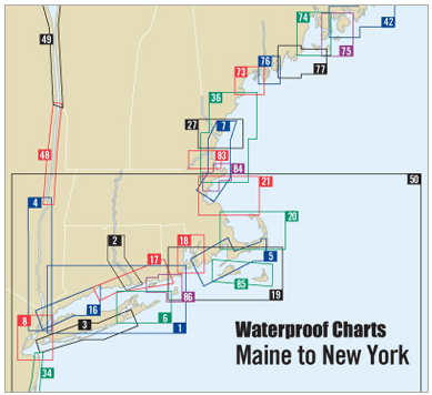
Discover the beauty and navigational convenience of Narragansett Bay with the 6th Edition of the Waterproof Chart. This essential maritime tool is designed for boating enthusiasts and professionals alike, offering comprehensive details for safe and efficient navigation in this stunning coastal region.
This Waterproof Chart provides an expansive view from Narragansett Bay to Point Judith, thoroughly detailing key features including:
- Major buoys, waypoints, courses, and distances, ensuring you stay on course during your maritime adventures.
- Information on 32 fish and dive sites, perfect for anglers and divers looking to explore the underwater treasures of the bay.
Measuring 14" x 60" with a scale of 1:40,000, this chart is perfect for both novice and experienced navigators. Not only does it boast precise cartography, but its waterproof design guarantees durability in the wettest of conditions, giving you peace of mind as you chart your course.
In addition to the aforementioned features, this chart also includes vital ramp locations, making launching and retrieving your boat hassle-free. With insets that provide additional detail, you can navigate with confidence, knowing you have all the information at your fingertips.
Whether you are planning a weekend sailing trip, a fishing expedition, or a relaxing day on the water, the Narragansett Bay Waterproof Chart is a must-have. Equip yourself with the best tools to enjoy everything the bay has to offer, while staying safe and informed.


