To meet the needs and safety of users, MapMedia updates its vector charts once or twice a year, according to the chart providers' updates, and once a year for raster charts. It is of course, extremely important for boaters to keep their charts up to date, in order to ensure the safety of all passengers onboard.
Corrections, improvements and changes are made on a daily basis by the Hydrographic Services and by private chart providers, such as Jeppesen or Navionics.
Boaters need to have access to correct information about water depth, particularly in shallow areas. If dredging takes place, it is also important to keep the water depths up to date for these channels, harbors and waterways.
The information indicated on the chart is critical for assessing whether the boat can safely navigate in the area or not.
Boaters and professionals have the ability to report errors or recent changes that they come across while boating. Examples of these changes are:
New marina
New pontoon
Rocks or obstructions that are unreported or under-reported
Buoys in the wrong place
Wind not reported
An inaccurate coastline following rapid coastal erosion
Natural disasters
If an area is particularly affected by natural disasters, it is necessary to redesign the entire chart to reflect the sudden major changes. Natural events have led cartographers to make an overhaul of their cards and make big updates.
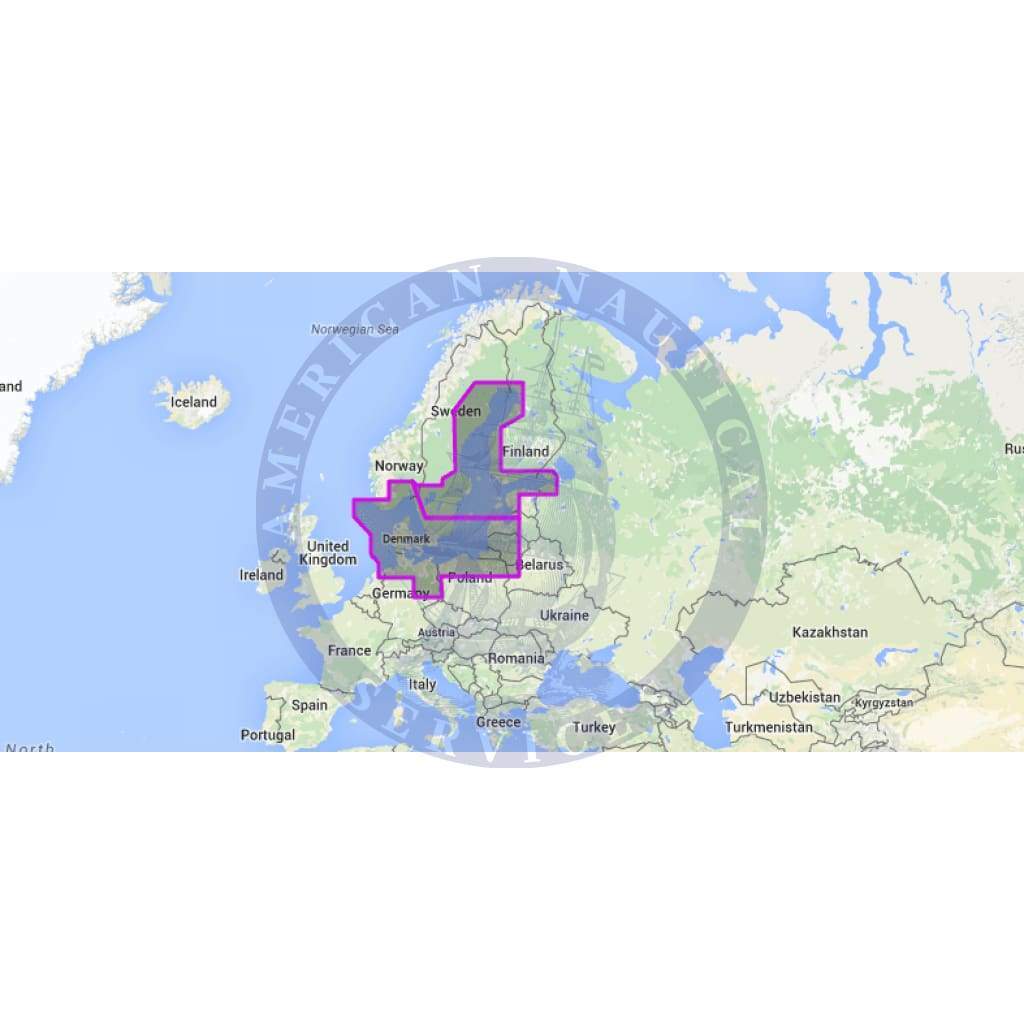
Make sure that you check the latest version of chart WVJENM299MAP by checking the MapMedia Catalog before you make your purchase. (example: WVJENM299MAP10.2) Version 10.2
A new unlock code will be generated that will give you access to the latest version of the chart once you have made your purchase.
You will receive your chart unlock code and installation instructions via email once your order has been processed. Please note that all sales of MapMedia digital charts are final once an unlock code has been generated for you.
I bought this book as a gift for someone who for years had had his own sailboat. He wrote to thank me for it, saying that the photos were fantastic and that he loved the book. The Black and White photography makes the photos stand out and the photos are understated and unique. Truly a wonderful book.
American National Services offered the best price on Murphy’s study guide books. They arrived quickly and in perfect condition. Can definitely recommend going through ANS. It’s worth it for your maritime career!