

Note: The areas outlined in color depict the approximate coverage areas of the relief shading data included in the Vision card.
Penobscot Bay through Gloucester, MA. Coverage includes Casco Bay and Cape Ann.
Bluechart G3 Vision Features
Auto Guidance
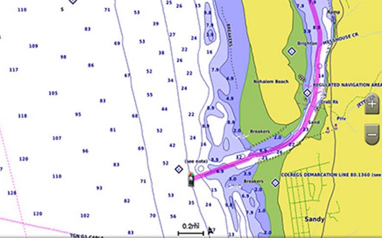
Whether you are fishing or cruising, select a spot, and get a route showing you the general path and nearby obstructions at a safe depth1.
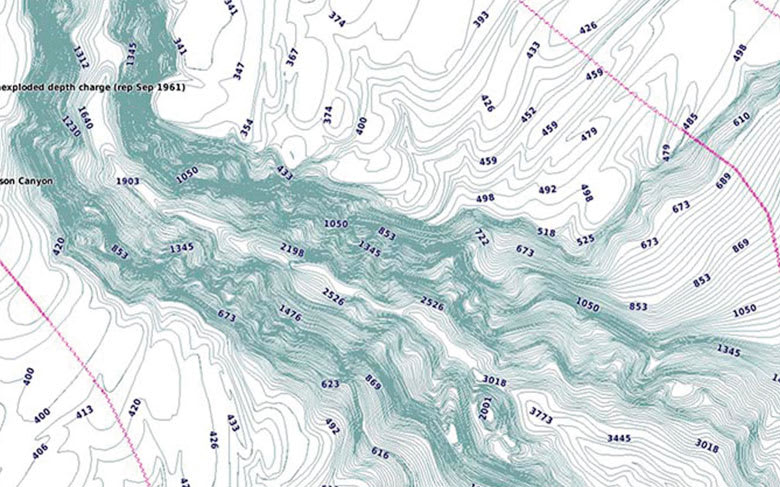
High-resolution Relief Shading
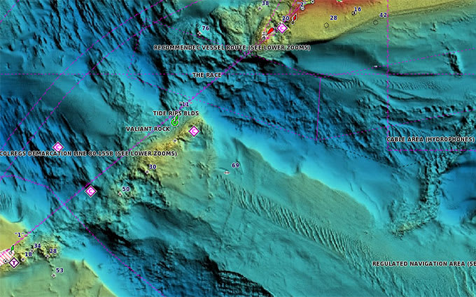
This exceptional shading feature combines color and shadow to give you an easy-to-interpret view of bottom profile, making it easy to find artificial reefs, underwater shelves and more. High-resolution relief shading is available as a free downloadable feature via the ActiveCaptain® app.
Depth Range Shading
This feature displays high-resolution Depth Range Shading for up to 10 depth ranges so you can view your designated target depth.
Shallow Water Shading
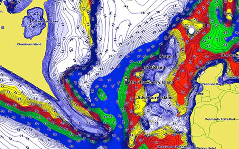
To give a clear picture of shallow waters to avoid, this feature allows for shading at a user-defined depth.
Detailed Contours
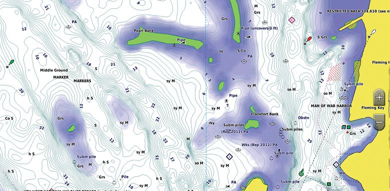
BlueChart g3 Vision charts feature 1’ contours that provide a more accurate depiction of bottom structure for improved fishing charts and enhanced detail in swamps, canals and port plans.
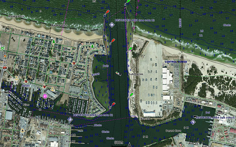
High-resolution Satellite Imagery
High-resolution satellite imagery with navigational charts overlaid gives you a realistic view of your surroundings. It’s our most realistic charting display in a chartplotter — ideal for entering unfamiliar harbors or ports.
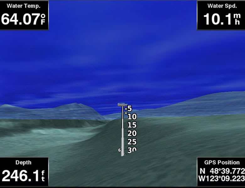
FishEye View
This underwater perspective shows 3-D representation of bottom and contours as seen from below the waterline. Interface with sonar data for a customized view.
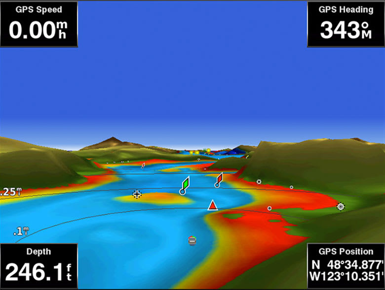
MarinerEye View
This view provides a 3-D representation of the surrounding area both above and below the waterline.
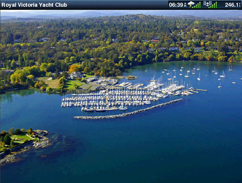
Aerial Photography
Crystal-clear aerial photography shows exceptional detail of many ports, harbors and marinas and is ideal when entering unfamiliar ports.
¹Auto Guidance is for planning purposes only and does not replace safe navigation practices
Comparison
| Feature | BlueChart g3 Vision | BlueChart g3 |
|---|---|---|
| Integrated Garmin and Navionics content | • | • |
| Auto Guidance¹ technology | • | • |
| Depth range shading | • | • |
| Up to 1' contours | • | • |
| Shallow water shading | • | • |
| Raster cartography² | • | • |
| High-resolution relief shading | • | |
| Unique 3-D views | • | |
| High-resolution satellite imagery | • | |
| Aerial photos | • |
¹Auto Guidance is for planning purposes only and does not replace safe navigation operations
²Raster cartography is available for selected countries. It cannot be viewed on echoMAP CHIRP and ECHOMAP Plus combos but can be viewed on mobile devices via the ActiveCaptain mobile app
Requirements
microSD™/SD™ Requirements


