
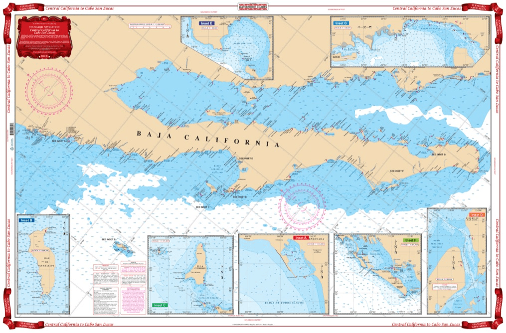
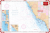
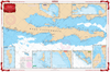
Coverage from Navarro Head California south to Ensenada including Punta Santo Tomas, Punta San Jose, Punta Piedras, and Punta Colnett. GPS waypoint table for the major entrances are listed as well as 10 insets that show the entrances in large scale. Information from 3 NOAA Charts,#18020, #18765, #18640 & NGA #21008. Chart #83 continues north to the Dixon Entrance & Alaska. No trip between Central California and Cabo San Lucas is complete without this marine map. You will be able to easily plot a trip through this region using this highly detailed nautical map. This chart is also excellent for framing and giving as a gift or displaying in a home or office. Coverage from Navarro Head California south to Ensenada including Punta Santo Tomas, Punta San Jose, Punta Piedras, and Punta Colnett. A GPS waypoint table has major entrances listed, as well as 10 insets that show the entrances in large scale. Information from 3 NOAA Charts #18020, #18765, #18640 & NGA #21008. Nautical Chart #83 continues north to the Dixon Entrance and Alaska. Navigation Chart is 25″ X 38″. WGS84 – World Mercator Datum.


The chart needs the bottom contour lines showing the 16, 21 & 28 fathom contour lines.
I bought this book as a gift for someone who for years had had his own sailboat. He wrote to thank me for it, saying that the photos were fantastic and that he loved the book. The Black and White photography makes the photos stand out and the photos are understated and unique. Truly a wonderful book.
American National Services offered the best price on Murphy’s study guide books. They arrived quickly and in perfect condition. Can definitely recommend going through ANS. It’s worth it for your maritime career!
The chart was unusable due to too much data being printed which cluttered up the view and obscured contours. Also, no compass rose was included.