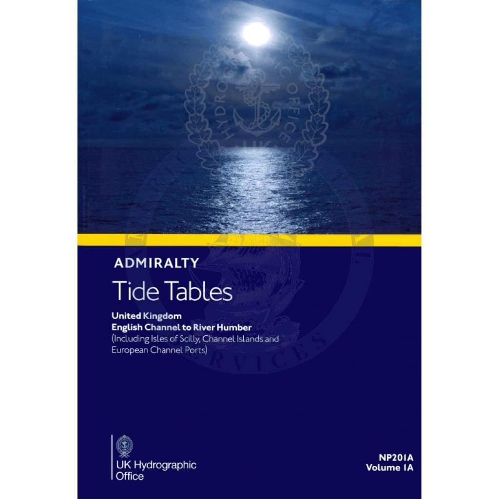
Unlock the secrets of the tides with the Admiralty Tide Tables (ATT) Volume 1A, focusing on the United Kingdom from the English Channel to the River Humber (NP201A). This essential publication is a must-have for mariners, fishermen, and coastal enthusiasts looking to navigate the intricate waters of the UK.
The Admiralty Tide Tables provide precise data on high and low water times and heights, covering over 230 standard and more than 6000 secondary ports across the UK and Ireland. With these crucial UK tide tables, you will always be informed about tidal movements, enhancing your safety and efficiency while at sea.
Each edition of the Admiralty Tide Tables illustrates various predictive methods, allowing users to understand the complex interactions of tides. The tables also highlight the impact of meteorological conditions on water levels, essential knowledge for anyone operating in coastal environments.
-
Comprehensive Data: Access detailed tide predictions for every day of the year, ensuring you never miss a tidal change.
-
Exceptional Tidal Factors: Learn about unique tidal influences in specific areas, giving you an edge when planning your maritime activities.
Whether planning a fishing trip, sailing expedition, or coastal investigation, the Admiralty Tide Tables serve as your trusted navigator. For those who prefer digital formats, the publication is also available in a convenient online version. Click here for the digital edition.
Use the Admiralty Tide Tables (ATT) Volume 1A to guide your maritime adventure with clinically accurate data and reliable predictions. With this vital resource at your disposal, you can confidently sail the UK's waters, knowing you are backed by the best tidal information available.


