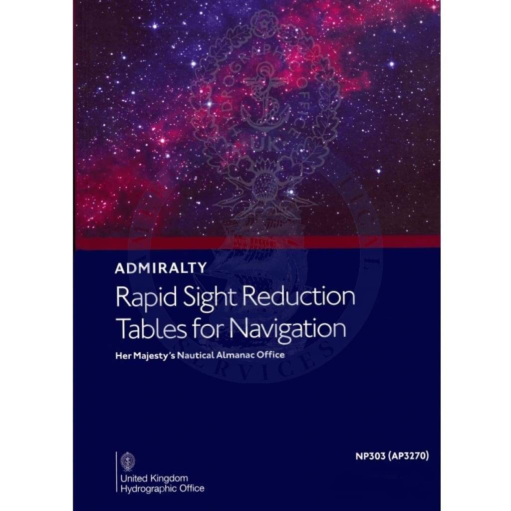
Enhance your navigation skills with the Rapid Sight Reduction Tables for Navigation, Vol. 3, specifically designed for latitudes 39°-89° and declinations 0°-29°. This essential resource, published by the United Kingdom Hydrographic Office, is a must-have for both professional navigators and enthusiasts alike.
The Rapid Sight Reduction Tables are part of a comprehensive series that simplifies the process of adjusting astronomical sights. Originally created as Sight Reduction Tables for Air Navigation, this edition has been tailored to meet the needs of marine navigation, giving it a wider application without altering the core content found in the US editions.
-
Quick Reference: This volume provides easy access to crucial data needed to calculate altitude and azimuth, facilitating swift navigation decisions.
-
User-Friendly Format: The tables are laid out clearly to support rapid sight reductions, making it easier to understand complex calculations at a glance.
Utilizing sight reduction tables is a vital skill for any navigator, whether you are plotting a course for a sailboat or conducting research expeditions. The structured format of these tables ensures that users can efficiently find the necessary figures without sifting through unnecessary information.
Version 2020 of the Rapid Sight Reduction Tables continues to uphold the high standards expected from the United Kingdom Hydrographic Office, ensuring that all navigators have access to the best tools available. Equip yourself with this indispensable tool and take your navigation capabilities to new heights.


