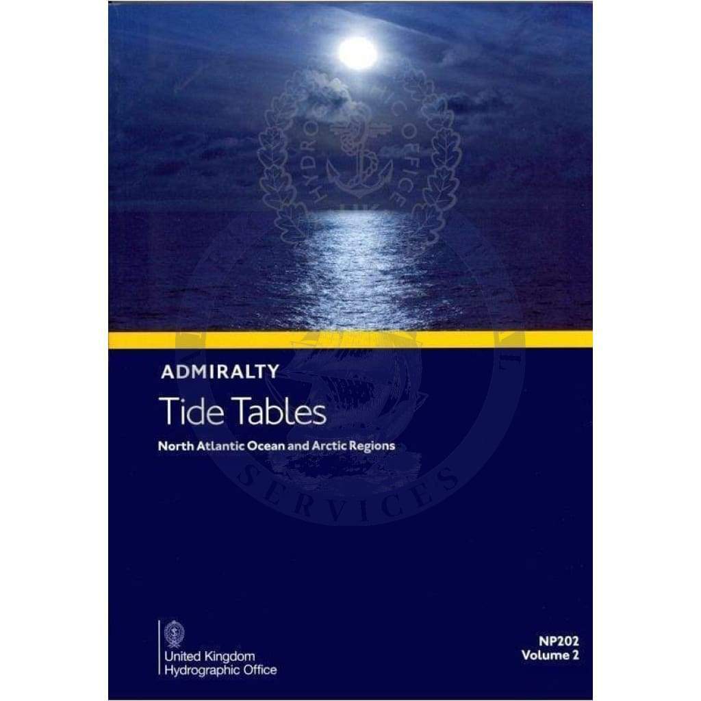
Discover the essential resource for navigating tidal waters with the Admiralty Tide Tables (ATT) Volume 2, North Atlantic Ocean and Arctic Regions (NP202). This comprehensive guide is designed for mariners, fishermen, and coastal professionals seeking accurate tidal information.
The Admiralty Tide Tables provide detailed predictions for over 230 standard ports and 6000 secondary ports. Users will benefit from highly accurate data concerning the timing and heights of high and low waters throughout the year.
-
Comprehensive Coverage: The tables include extensive coverage of tidal conditions in the UK, Ireland, Europe, the Indian Ocean, South China Sea, and Pacific Ocean, making them a vital tool for safe navigation.
-
Detailed Analysis: Each table not only outlines the expected tidal heights but also discusses the effects of meteorological conditions on tides, which is crucial for planning navigational routes.
With the Admiralty Tide Tables, you can also access the latest methods of tidal prediction. This publication includes vital information on exceptional tidal factors specific to each region. Whether you're a seasoned professional or a recreational boater, these tables are key to making informed decisions about your maritime activities.
Stay informed and enhance your navigation efficiency by incorporating the Admiralty Tide Tables into your toolkit. For a digital version, click here to explore more options.


