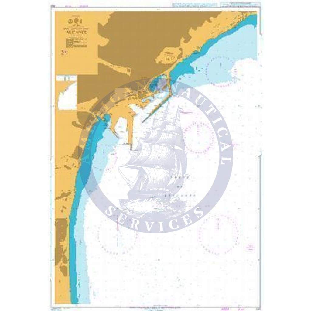
British Admiralty Nautical Chart 469: Alicante

Price
$47.95
Media:Paper
Media Paper
SKU BA469
Publisher United Kingdom Hydrographic Office
UPC 8.52687E+11
Pickup available at 3311 S. Andrews Ave.

Usually ready in 24 hours

View store information

Discover the unrivaled precision and reliability of the British Admiralty Nautical Chart 469: Alicante. This essential navigation tool sets the standard in marine cartography, meticulously crafted to ensure safe and efficient seafaring.

  • Professionally Compliant: The British Admiralty Nautical Chart 469: Alicante fully adheres to the rigorous Safety of Life at Sea (SOLAS) regulations, guaranteeing that mariners have access to accurate and up-to-date information crucial for safe navigation.
  • Versatile Application: Whether for professional, commercial, or recreational use, this nautical chart is indispensable for a wide range of activities including passage planning, ocean crossings, coastal navigation, and port entry.

Embrace the detailed cartography of this chart series, which encompasses a variety of scales tailored to meet diverse navigational needs. From navigating busy seaways like the English Channel to the complexities of the Gulf of Suez and the Malacca and Singapore Straits, this chart empowers mariners with essential guidance.

Furthermore, complementing the standard nautical charts are mariners' routeing guides, providing expert insights for strategic route planning in intricate maritime corridors. Stay ahead with the latest corrections applied to the chart at the point of sale by our proficient cartographers, ensuring compliance with SOLAS regulations and enhancing navigational safety.

Take charge of your maritime journey by utilizing the British Admiralty Nautical Chart 469: Alicante, the pinnacle of precision and reliability in nautical cartography.

Customer Reviews

Be the first to write a review
0%
(0)
0%
(0)
0%
(0)
0%
(0)
0%
(0)

Customer Reviews

Be the first to write a review
0%
(0)
0%
(0)
0%
(0)
0%
(0)
0%
(0)

You may also like