


Fast and reliable service. Excellent
Shopping, ordering and delivery outstanding. Acta non Verba always delivers.
Quick delivery
British Admiralty Nautical Chart 1791: Caledonian Canal
Good Service and fast delivery.

Usually ready in 24 hours
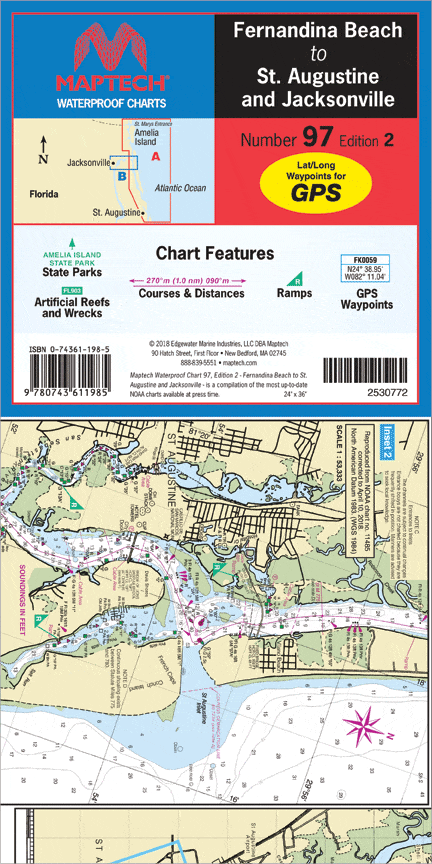
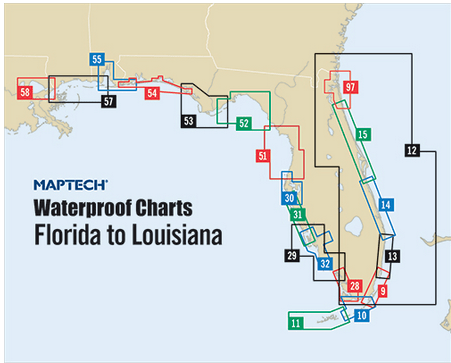
Inshore coverage of Florida’s First Coast & the Saint John’s River to Jacksonville. Contains pre-plotted GPS waypoints and courses, marine facilities, artificial reefs and wrecks, and gamefish. Approximate scales 1: 106,666 and 1: 26,666 with insets.
Excellent Chart for navigation purposes
Phone: +1 954-522-3321
Whatsapp: +1 954-292-4212
E-mail: sales@amnautical.com
Review us on Google!
American Nautical Services, Inc.
3311 S Andrews Ave, Suite 11
Fort Lauderdale, FL 33316
United States of America
Mon-Fri 8am-5pm - Sat. 9am-5pm
Fast and reliable service. Excellent
Shopping, ordering and delivery outstanding. Acta non Verba always delivers.
Quick delivery
British Admiralty Nautical Chart 1791: Caledonian Canal
Good Service and fast delivery.