
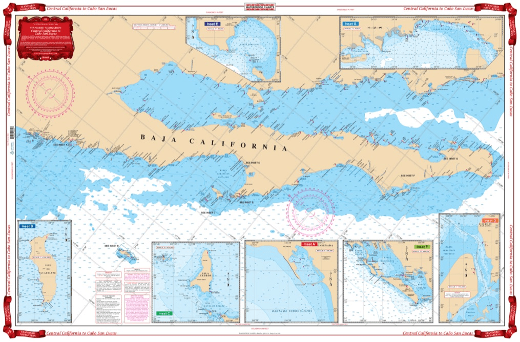
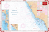
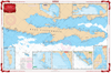
Coverage from Navarro Head California south to Ensenada including Punta Santo Tomas, Punta San Jose, Punta Piedras, and Punta Colnett. GPS waypoint table for the major entrances are listed as well as 10 insets that show the entrances in large scale. Information from 3 NOAA Charts,#18020, #18765, #18640 & NGA #21008. Chart #83 continues north to the Dixon Entrance & Alaska. No trip between Central California and Cabo San Lucas is complete without this marine map. You will be able to easily plot a trip through this region using this highly detailed nautical map. This chart is also excellent for framing and giving as a gift or displaying in a home or office. Coverage from Navarro Head California south to Ensenada including Punta Santo Tomas, Punta San Jose, Punta Piedras, and Punta Colnett. A GPS waypoint table has major entrances listed, as well as 10 insets that show the entrances in large scale. Information from 3 NOAA Charts #18020, #18765, #18640 & NGA #21008. Nautical Chart #83 continues north to the Dixon Entrance and Alaska. Navigation Chart is 25″ X 38″. WGS84 – World Mercator Datum.


Excellent Services
I wanted a quality chart delivered promptly at an acceptable price.
Mission accomplished...
Order placement and pickup was efficient and easy! I made an order mistake and they fixed it quickly for me. Hal was such a pleasure to talk to as well. Product is as described. Thanks!
My wife and I are still a few years away from casting off the dock lines on this journey, but Skipper Bob's insights have really framed my thinking about the Big Picture. I burned through the book in just a few days and have already changed some of our early planning based on the information I gleaned.
Thanks to all of you for keeping this valuable resource readily available!