


Fast and reliable service. Excellent
Shopping, ordering and delivery outstanding. Acta non Verba always delivers.
Quick delivery
British Admiralty Nautical Chart 1791: Caledonian Canal
Good Service and fast delivery.



Usually ready in 24 hours
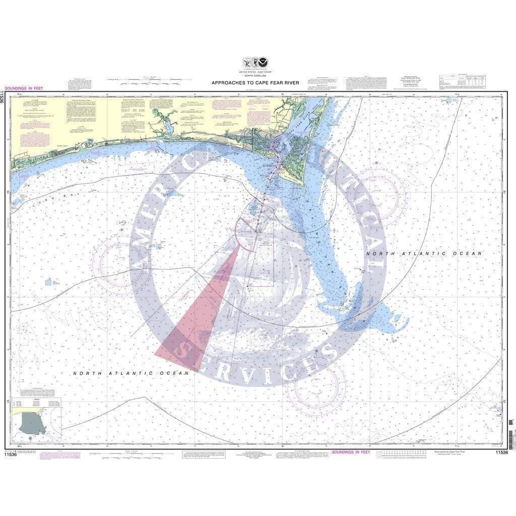
NOAA Nautical Chart 11536: Approaches to Cape Fear River is a standard navigation chart used by commercial and recreational mariners alike. Printed on-demand on water-resistant paper, this chart meets the definition of a nautical chart in SOLAS Chapter V Regulation 2.2 and satisfies carriage requirements in SOLAS Chapter V Regulation 19.2.1.4.
Available Versions
1. NOAA Custom Chart (For Navigation)
2. NOAA Traditional Chart (Not for Navigation)
Printing & Material
NOAA Custom Chart (Updated)
Scale: 80000
Paper Size: 36.0" x 46.0"
Actual Chart Size: 43.5" x 33.9"
Traditional NOAA Chart (Sunsetted)
Scale: 80,000
Paper Size: 36.0" x 48.0"
Actual Chart Size: 44.1" x 35.4"
Edition #: 20
Edition Date: 2015-01-01
The map is as advertised and I will buy again from this organization!
Great quality, and sent via very protective packaging. However, my husband and I thought we'd have to cut off the metal ends of the cardboard cylinder with a box cutter to open it, but then I happened to see the brown tape to peel away. Good design but hard to notice. Maybe the tape should be a bright color with instructions like "Open Here" on it!
Phone: +1 954-522-3321
Whatsapp: +1 954-292-4212
E-mail: sales@amnautical.com
Review us on Google!
American Nautical Services, Inc.
3311 S Andrews Ave, Suite 11
Fort Lauderdale, FL 33316
United States of America
Mon-Fri 8am-5pm - Sat. 9am-5pm
Fast and reliable service. Excellent
Shopping, ordering and delivery outstanding. Acta non Verba always delivers.
Quick delivery
British Admiralty Nautical Chart 1791: Caledonian Canal
Good Service and fast delivery.