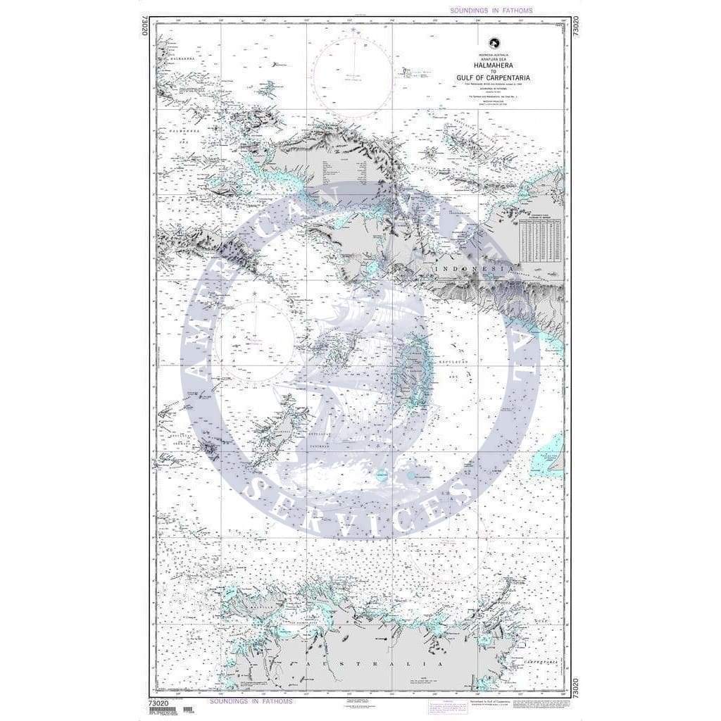
I can't think of an easier company to do business with. So professional. A person will answer the phone, the website, and the ordering process was a breeze. The map was of high quality. I think they're great.
Outstanding service, will use service again in the future.
My tide chart calendar was packaged in a plastic envelope and a stiff cardboard sleeve. It arrived in perfect condition!
I’m planning to sail my custom built “Stealth” catamaran from Phuket via the Seychelles ,Madagascar, South Africa, West Coast of Africa, Canary islands to the Mediterranean. It is just a great help and fun to have a real paper map to plot down our dream our adventure. These maps are of great quality!!!!
I looked long and hard for a high quality chart of the BVIs. With all of our electronics now, I find high quality paper charts hard to find. American Nautical Services was a great choice. Flexibility, easy to order and quick shipping. Highly recommended.


