
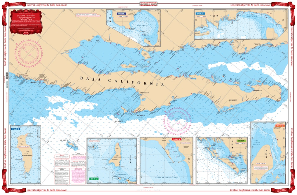
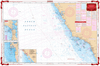
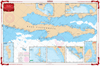
Coverage from Navarro Head California south to Ensenada including Punta Santo Tomas, Punta San Jose, Punta Piedras, and Punta Colnett. GPS waypoint table for the major entrances are listed as well as 10 insets that show the entrances in large scale. Information from 3 NOAA Charts,#18020, #18765, #18640 & NGA #21008. Chart #83 continues north to the Dixon Entrance & Alaska. No trip between Central California and Cabo San Lucas is complete without this marine map. You will be able to easily plot a trip through this region using this highly detailed nautical map. This chart is also excellent for framing and giving as a gift or displaying in a home or office. Coverage from Navarro Head California south to Ensenada including Punta Santo Tomas, Punta San Jose, Punta Piedras, and Punta Colnett. A GPS waypoint table has major entrances listed, as well as 10 insets that show the entrances in large scale. Information from 3 NOAA Charts #18020, #18765, #18640 & NGA #21008. Nautical Chart #83 continues north to the Dixon Entrance and Alaska. Navigation Chart is 25″ X 38″. WGS84 – World Mercator Datum.


Thank you for the quick response and delivery of the book I ordered. I have ordered items from your company before and have receive outstanding service every time. It is especially needed because I live and work in Japan for the Navy.
American Nautical never disappoints, these are my favorite triangles as I find they are the most durable. Great customer service, fast shipping.
The chart is nice. Erasing smudges a little and can still see it.
Store have a good library for maritime education
Price, speed of delivery, and no cost shipping made American Nautical Services unbeatable. Thanks for getting me the Windward Islands cruising guide so quickly and at a great price. Many Thanks - John Dockter