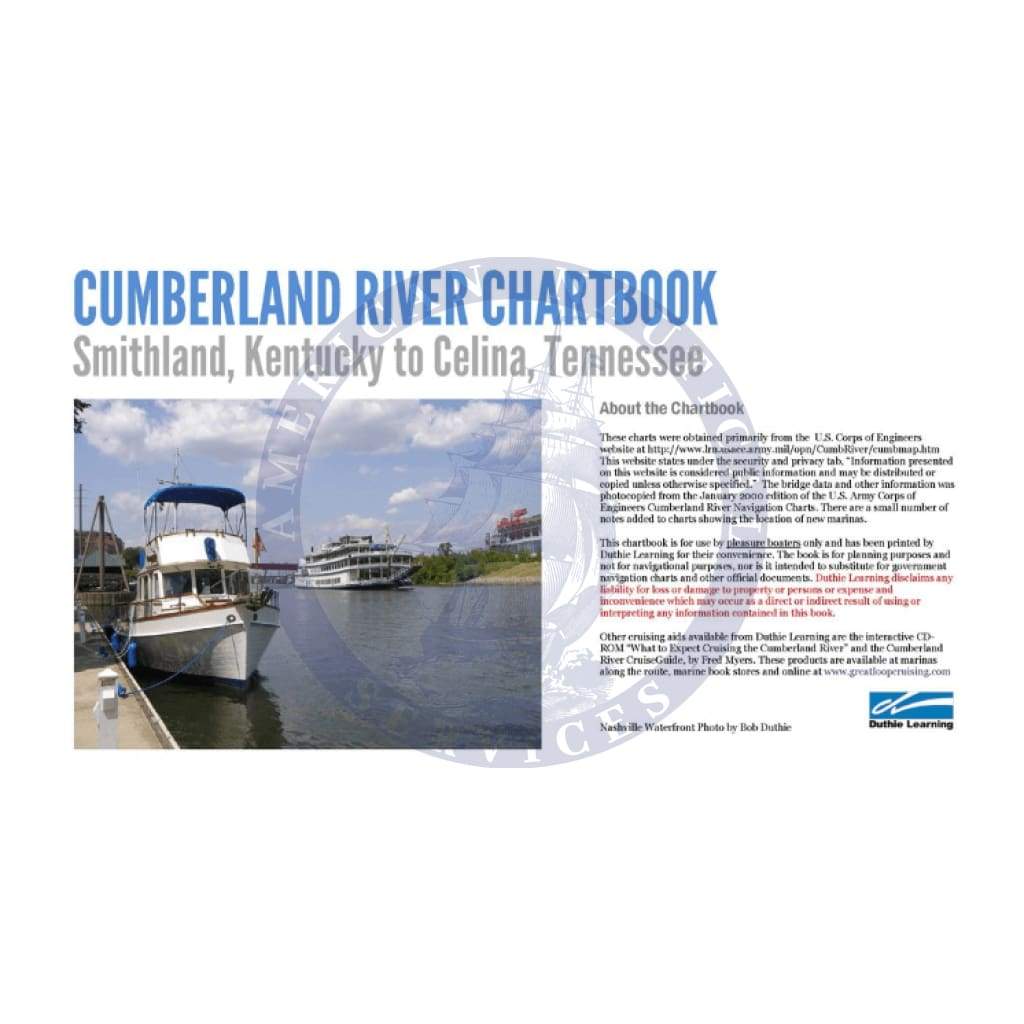
Explore the vast waterways of the Cumberland River from Smithland, Kentucky (KY) to Celina, Tennessee (TN) with the comprehensive Chartbook Cumberland River. This essential navigation guide is perfect for boaters, fishermen, and outdoor enthusiasts looking to enhance their experience on the water.
This Inland Waterway Navigation Chartbook is packed with crucial details that ensure a safe and enjoyable journey. With clearly marked routes and valuable information, you can navigate with confidence. Dive into the specifics of locks, dams, and bridges along this scenic route.
-
Detailed Navigation Aids: The Chartbook Cumberland River includes river mileage, all principal navigation aids, lights, day marks, and gauges, providing essential information for successful navigation.
-
Comprehensive Shoreline Information: Discover adjacent towns, shore facilities, including waterway freight terminals, docks, marinas, small boat docks, ramp landings, access roads, highways, and railroads, making your journey seamless.
These expertly crafted charts were sourced directly from the U.S. Army Corps of Engineers, ensuring accuracy and reliability. Whether you're planning a brief trip or an extended journey, this chartbook serves as your ultimate guide to navigating the Cumberland River.
Unlock the beauty of the Cumberland River waterway and ensure you have all the necessary information at your fingertips. Invest in the Chartbook Cumberland River today and experience the convenience of having navigation resources designed specifically for your boating needs!