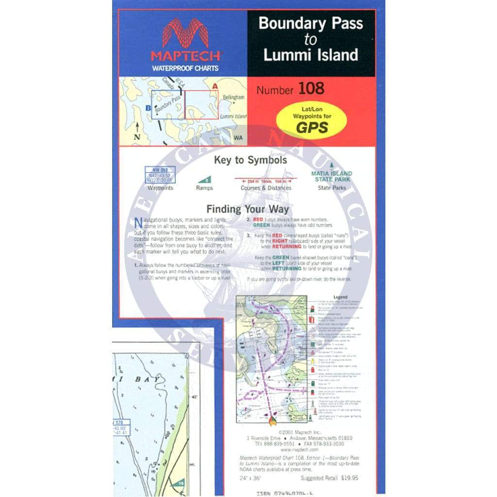
The Boundary Pass to Lummi Island Waterproof Chart, 1st Edition, is specifically designed for maritime enthusiasts navigating the picturesque waters of the Pacific Northwest. This high-quality waterproof chart provides essential navigational information, ensuring a safe and enjoyable experience on the water.
Explore the stunning scenery of North and South Pender Islands, Saturna Island, and Sucia Island with confidence. This chart includes vital waypoints for major buoys and channels, making it easier for you to plot your course accurately. Whether you are a seasoned sailor or a novice boater, this Waterproof Chart is an indispensable tool for your adventures on the open water.
- Approximate Scale of 1:30,000 for detailed navigation.
- Includes information on public boat launch locations and state parks, enhancing your overall trip planning.
Featuring pre-plotted courses and distances, the Boundary Pass to Lummi Island Waterproof Chart will guide you through the waters with ease. Its durability ensures it withstands the elements, making it ideal for both casual outings and serious expeditions.

Before embarking on your next maritime journey, equip yourself with this essential Waterproof Chart to elevate your experience and keep your travels secure. Trust your navigation skills and unlock the beauty of the region with this comprehensive chart in hand.