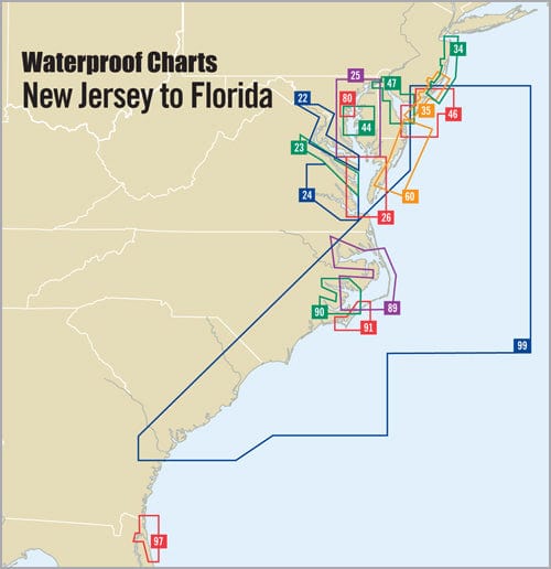
Explore the stunning Delmarva Atlantic Coast like never before with this expertly crafted Waterproof Chart, 1st Edition. This chart offers comprehensive coverage and is essential for both seasoned mariners and new boaters alike. Dive into detailed insets for Carrabelle, Apalachicola, and Panama City, which enhance navigational accuracy in coastal waters.
The Delmarva Atlantic Coast Waterproof Chart features:
-
Precise Navigation Tools: It includes waypoints for major aids to navigation, ensuring you stay on course. With pre-plotted courses and distances, you can plan your journey efficiently with minimal guesswork.
-
Useful Fishing and Diving Information: Navigate to popular fish and dive sites easily, enhancing your recreational experience on the water.
This chart measures 24" x 36" and offers scales of 1:106,666 and 1:114,285 with insets that provide a visual representation of the coast. It's designed to withstand the elements, ensuring durability in both freshwater and saltwater environments.
Whether you are fishing, diving, or cruising along the picturesque Atlantic Coast, this Waterproof Chart is your ultimate companion for safe and enjoyable maritime exploration. Say goodbye to traditional paper charts that wear out quickly and hello to a reliable, waterproof solution that can handle the challenges of the sea.
Invest in the Delmarva Atlantic Coast Waterproof Chart today and enhance your navigational knowledge while enjoying the beauty of the coast. Don't let poor navigation tools hold you back—secure your adventure on the water!


