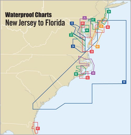
Explore the intricate waterways of Delaware Bay with the meticulously crafted Delaware Bay and the C & D Canal Waterproof Chart, 3rd Edition. Designed specifically for avid boaters, fishermen, and navigators, this high-quality chart covers the region from Cape May, NJ, to Wilmington, DE, and includes Elk River, MD.
With a scale of 1:108,000, this waterproof chart ensures clear visibility of essential navigation details. Each chart measures an impressive 24" x 36", making it easy to read while out on the water.
- Features GPS Waypoints for precise navigation.
- Highlights courses, distances, and key fishing and wreck sites.
Whether you are planning a fishing trip or cruising through Delaware Bay, this waterproof chart serves as your reliable companion. Its detailed insets provide additional information about specific areas, helping you navigate safely and confidently. The durable, waterproof material means this chart can withstand the elements, ensuring it remains in excellent condition regardless of your boating adventures.
Enhance your boating experience with the Delaware Bay and the C & D Canal Waterproof Chart. Invest in clarity and navigational accuracy to ensure every journey is safe and enjoyable. Whether you're a seasoned sailor or a weekend explorer, this chart is a must-have for anyone venturing into Delaware's beautiful waters.


