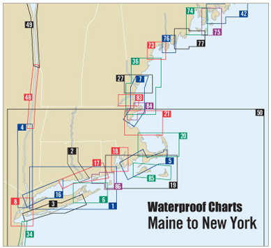
Explore the stunning coastlines from Provincetown to Green Harbor with the Cape Cod Bay Waterproof Chart, 5th Edition. This essential maritime guide provides not only exquisite detail but also reliability in wet conditions. With its waterproof feature, this chart is ideal for boaters and outdoors enthusiasts, ensuring that your navigation tools remain intact and readable regardless of the weather.
This chart spans Cape Cod Canal, showcasing critical waypoints for major buoys, courses, and distances. It is your go-to resource for maritime navigation, featuring:
- 61 wreck sites documented for safety and awareness.
- Comprehensive ramp locations and additional vital information for boaters.
With a size of 24" x 36" and a scale of 1:106,666, you'll find all the detailed information you need for your voyage on the waters of Cape Cod Bay. The insets within the chart offer an even deeper understanding of specific locations and navigational aids.
Your adventures deserve precision, and this Waterproof Chart delivers exactly that, allowing you to sail with confidence. Its durable construction stands up to the rigors of the sea and keeps your navigational paths clear and accurate.


