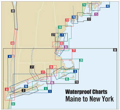
Boston Harbor Entrance to York ME Waterproof Chart, 5th Edition

Sale price
$27.95
List price
$32.95
SKU WPC007
Publisher Richardson's Maptech
ISBN 9780743611145
Pickup available at 3311 S. Andrews Ave.

Usually ready in 24 hours

View store information

Discover the vital nautical information of the Boston Harbor Entrance to York, Maine, with the unrivaled 5th Edition Waterproof Chart. This essential navigational tool is indispensable for both seasoned mariners and weekend boaters alike.

Designed for durability, the Waterproof Chart measures 14" x 60" and features a detailed scale of 1:53,333, ensuring precise navigation through these crucial waters. The chart includes various critical components:

  • Waypoints for major buoys, guiding your journey with ease.
  • Information on wreck sites and ramp locations, enhancing safety and functionality.

Whether you are planning a day of fishing, sailing, or simply cruising along the coast, this chart provides the necessary information at your fingertips. Its waterproof design ensures longevity, allowing you to navigate confidently in any weather condition.

Enhance your marine navigation experience with this Waterproof Chart, an essential resource that combines functionality with high-quality charting.

Customer Reviews

Be the first to write a review
0%
(0)
0%
(0)
0%
(0)
0%
(0)
0%
(0)

You may also like