


I received the items as described, promptly delivered. Thank you!
The service went above and beyond - prompt and accurate. Many thanks!
This is such a rare product, so glad to have found it. Thanks so much! its perfect
Used for study materials

Usually ready in 24 hours
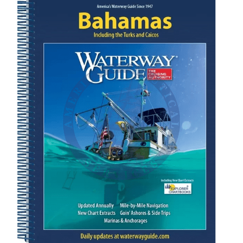
Updated annually, the Waterway Guide Bahamas 2024 edition is the indispensable cruising companion for boaters exploring the Bahamas Islands and the Turks and Caicos Islands.
The guide features mile-by-mile navigation information, aerial photography with marked routes, marina listings and locator charts, anchorage information and expanded Goin' Ashore articles on ports along the way. Helpful cruising data like GPS waypoints, detailed planning maps and distance tables help get boaters there safely. This book features flexible perfect binding and heavy laminated covers with bookmarker flaps ensure durability and easy use in the cockpit and at the helm.
Working with Waterway Guide Media, Explorer Chartbooks created a series of chartlets that offer situational awareness and complement navigation advice and associated information in Waterway Guide’s book. Each chart extract is labeled with a cross reference number to the master chart in the Explorer Chartbooks library. Trip planning and navigation in the Bahamas is now more reliable than ever using Waterway Guide’s book, Explorer Chartbooks’ charts, and the Aqua Map mobile app with Explorer ENCs and Waterway Guide data embedded.

Phone: +1 954-522-3321
Whatsapp: +1 954-292-4212
E-mail: sales@amnautical.com
Review us on Google!
American Nautical Services, Inc.
3311 S Andrews Ave, Suite 11
Fort Lauderdale, FL 33316
United States of America
Mon-Fri 8am-5pm - Sat. 9am-5pm
I received the items as described, promptly delivered. Thank you!
The service went above and beyond - prompt and accurate. Many thanks!
This is such a rare product, so glad to have found it. Thanks so much! its perfect
Used for study materials
Very satisfied