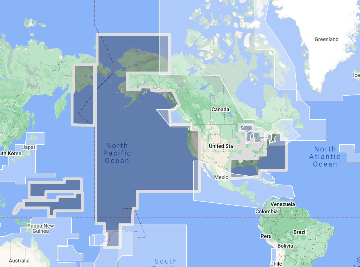
The TimeZero TZ Map: North America | USA delivers comprehensive navigational coverage for the entire United States coastline, spanning over 150,000 kilometers of tidal shoreline across the Atlantic seaboard, Gulf of Mexico, Pacific coast, Alaska, and Hawaii. Built on the advanced TZ Maps platform developed by TimeZero, this chart pack integrates multiple chart types, official hydrographic raster charts, detailed vector data, high-resolution bathymetric data, and satellite imagery into a single navigational package supporting safe passage through the most diverse range of coastal navigation environments found in any single national coverage area.
Coverage extends from the rocky harbors and tidal rivers of Maine south through the mid-Atlantic states, the barrier island coastline of the Carolinas and Georgia, the Florida Keys and Straits of Florida, the entire Gulf of Mexico coast from the Dry Tortugas through the Mississippi Delta to the Texas border, the Pacific seaboard from Southern California through the Pacific Northwest to Puget Sound, the full Alaskan coastline including the Inside Passage, the Aleutian chain, and the Bering Sea approaches, and the Hawaiian Islands. The Intracoastal Waterway, the Chesapeake Bay, Long Island Sound, San Francisco Bay, and the Columbia River bar are all within the coverage boundary.
Raster data within the TZ Map is georeferenced, featuring digital images of official NOAA nautical charts that have served as the foundation of U.S. coastal navigation for over two centuries. Following NOAA’s discontinuation of traditional paper chart production in January 2025 and the ongoing transition to NOAA Custom Charts (NCC) and S-100 electronic navigational data, TZ Maps preserves the familiar raster chart appearance that American mariners have relied on while supplementing it with enriched vector data layers. Vector data complements raster imagery with a layered database recording every nautical feature, delivering queryable depth information, aids to navigation positions, regulated area boundaries, and navigational object data across the full U.S. coastal coverage area.
The BathyVision feature provides dynamic 3D bottom data display essential for navigating the shallow inlet crossings of the Atlantic and Gulf coasts, the sandbar-guarded river entrances of the Pacific Northwest, the coral-fringed channels of the Florida Keys and Hawaii, and the glacially carved fjords of Alaska’s Inside Passage. High-definition satellite imagery options are available for selected port areas and popular anchorages.
Compatible with TimeZero Navigator v5, TimeZero Professional v5, and Furuno NavNet TZtouch4 (sold separately).
Overview
Feature Highlights Strip
Navigate with integrated raster and vector chart data sourced from official hydrographic offices and enriched with detailed nautical features.
Visualize the bottom structure with high-resolution bathymetry and BathyVision 3D contour mapping.
Overlay satellite photography with chart data.
View realistic shoreline altimetry and perspective horizons.
Customize chart display by toggling layers.
Compatible with TimeZero Navigator v5 and Professional v5.
High-Resolution Bathymetry
Navigate Inlets, Bars, and Shallow Approaches with Confidence
High-resolution bathymetric data transforms chart contour lines into intuitive 3D bottom representations, providing essential depth awareness when navigating into U.S. ports, Intracoastal Waterway channels, tidal inlets, and the bar crossings that guard access to rivers and harbors along all three major coastlines. The graphic interpretation of contour data creates detailed bottom profiles invaluable for approach planning and transit timing in waters where available depth changes with every tide cycle and where shoaling conditions can develop between survey updates.
The BathyVision feature displays bottom topography in color and contour line overlays, allowing mariners to dynamically adjust the visualization to suit their navigation needs. This capability is particularly critical across U.S. waters, where Atlantic barrier island inlets from North Carolina through Florida present shifting sand bars and narrow channels that demand real-time depth awareness and tidal timing for safe crossing, the Gulf of Mexico coast from the Florida panhandle through Louisiana and Texas features extensive shallow-water approaches where dredged channels provide the only deep-water access to major commercial and recreational ports, the Pacific Northwest bar crossings at the Columbia River, Grays Harbor, and Coos Bay rank among the most dangerous harbor entrances in the United States due to the interaction between river current, ocean swell, and shallow bar depths, and Alaska’s Inside Passage combines deep fjord channels with narrow rock-bound passages where submerged hazards are common and survey coverage varies between well-charted commercial routes and less frequently surveyed anchorages.
Mariners transiting the Chesapeake Bay approach channels, crossing Florida East Coast inlets, navigating the Mississippi River passes, entering San Francisco Bay through the Golden Gate, or threading the narrows of the Alaska Inside Passage benefit from bottom structure visualization that flat chart views cannot replicate. In U.S. waters where NOAA chart data forms the authoritative depth reference, BathyVision adds the dimensional context that transforms two-dimensional soundings into actionable spatial awareness.
Raster and Vector Chart Fusion
Official Charts Enhanced with Intelligent Data Layers
TZ Maps combines two complementary chart formats to deliver maximum navigational confidence. Georeferenced raster data presents true-color digital copies of official NOAA nautical charts, preserving the cartographic tradition that has defined American coastal navigation since the establishment of the U.S. Coast Survey in 1807. These images provide a reliable visual reference that experienced navigators can interpret immediately, maintaining the familiar NOAA chart symbology, color palette, and notation conventions.
Vector data operates alongside raster imagery using a database-driven approach that stores information in discrete layers and records every nautical feature independently. This format enables interactive chart queries, object-based search, and depth value interrogation that static raster imagery cannot provide. Across U.S. waters, where regulated areas include anchorage grounds, security zones, military operating areas, marine sanctuaries, speed restriction zones, and offshore energy installations, the ability to query and filter individual chart objects supports navigation planning that accounts for the full regulatory landscape overlaying the physical waterway.
The transition from traditional NOAA paper chart production to digital-first distribution makes integrated raster and vector charting increasingly valuable for U.S. mariners. TZ Maps bridges this transition by maintaining the visual familiarity of traditional chart imagery while delivering the interactive data capabilities that modern navigation demands. The single-coverage-area approach eliminates the folio management burden of maintaining separate chart sets for Atlantic, Gulf, Pacific, Alaskan, and Hawaiian waters.
Satellite Photo Overlay
See the Real Landscape Behind the Chart
TZ Maps fuses satellite photography with raster and vector chart data, presenting only the visual information essential for safe navigation. Standard-resolution satellite images are included in every TZ Maps data pack, with high-definition options available for selected areas.
This overlay capability proves especially valuable across U.S. coastal waters, where visual identification of inlet entrances, marina breakwaters, and ICW channel markers against developed shorelines aids safe approach navigation. Mariners arriving at unfamiliar Florida inlets where residential development lines both sides of the channel, identifying the correct entrance to Chesapeake Bay tributaries from offshore, distinguishing marina entrances along the congested Southern California coast, or locating anchorage positions in Alaskan bays surrounded by dense forest can correlate chart data with actual terrain appearance before committing to the final approach. Along the Gulf Coast, where the low-lying marshland shoreline presents minimal visual profile from offshore, satellite overlay provides the terrain context that chart interpretation alone cannot deliver.
Realistic Shoreline Views
Identify Port Entries and Coastal Features from the Horizon
TZ Maps employs altimetry to render shorelines with realistic elevation perspective, creating 3D views that simulate the visual horizon as seen from the bridge. This perspective rendering aids instant identification of port entrances, channel openings, and specific shoreline landmarks during approach.
The United States coastline presents every conceivable coastal profile. The rocky headlands of New England and the Pacific Northwest rise sharply, providing bold visual landmarks from offshore. The barrier islands of the mid-Atlantic and Gulf coasts present minimal elevation, where inlet entrances are virtually invisible from seaward until close approach. The mountainous coastline of Southeast Alaska and the volcanic profiles of Hawaii offer dramatic but complex visual horizons where multiple bays and channels may appear similar from offshore. Altimetric rendering addresses all of these profiles by providing realistic visual previews calibrated to actual terrain elevation, helping mariners confirm their approach whether making landfall against the cliffs of Big Sur, searching for an inlet entrance along the flat Outer Banks, or identifying a harbor among the forested islands of Puget Sound.
Detailed Land Information
Understand the Coastline and Nearby Infrastructure
Beyond waterway navigation data, TZ Maps integrates detailed land information that enhances understanding of coastlines and nearby infrastructure. Road networks, settlement locations, and coastal facility positions are rendered alongside maritime chart data.
This integrated land detail supports voyage planning across the vast U.S. coastline, where facility availability ranges from the comprehensive marina infrastructure of the Atlantic and Gulf ICW corridors to the remote stretches of the Alaskan coast where the nearest fuel dock, repair facility, or even cellular communication coverage may be hundreds of nautical miles from the current position. Understanding which harbors offer fuel, haul-out, provisioning, and U.S. Customs clearance for international arrivals is essential context for passage planning across a coverage area that spans tropical, temperate, and Arctic navigation environments.
Software Compatibility
Purpose-Built for TimeZero Navigation Software
The TZ Map: North America | USA is designed for use with TimeZero navigation software platforms and compatible Furuno hardware. Compatible applications include:
TimeZero Navigator v5: Full-featured navigation software for recreational and professional mariners
TimeZero Professional v5: Advanced navigation platform with commercial vessel capabilities
Furuno NavNet TZtouch4: Integrated chartplotter hardware with native TZ Maps support
TZ Maps are delivered as data packs that load directly into compatible software and hardware installations. Mariners using Garmin, Raymarine, Simrad, or other chartplotter platforms should consult the ANS digital charts catalog for compatible chart products, including Navionics and C-MAP options available through ANS.
Need assistance determining the right chart format for your bridge electronics? Contact the ANS navigation team for personalized guidance on matching chart products to your vessel equipment.
Complete Setup
Complete Your U.S. Coastal Navigation Setup
TimeZero Navigation Software
TZ Maps require compatible TimeZero software or Furuno hardware. Choose TimeZero Navigator v5 for recreational cruising, TimeZero Professional v5 for advanced commercial navigation, or confirm Furuno NavNet TZtouch4 compatibility for integrated bridge systems.
Supplement digital chart data with detailed anchorage descriptions, ICW mile-marker references, approach instructions, and local facility information from dedicated U.S. regional cruising guides available through ANS.
ADMIRALTY and NOAA Paper Charts
Commercial vessels subject to SOLAS chart carriage requirements should maintain official chart backup for primary navigation areas. NOAA and ADMIRALTY charts covering U.S. waters are available through the ANS Chart Selector. With NOAA’s transition away from traditional paper chart production, consult the ANS team for current chart format availability and NOAA Custom Chart options.
Need Help Choosing the Right Charting Solution?
The ANS navigation team provides personalized guidance on chart selection, software compatibility, and compliance requirements for vessels of all types. Whether outfitting a yacht for an ICW transit or equipping a commercial vessel for U.S. coastal operations, ANS specialists match chart products to your vessel, cruising plans, and bridge electronics.
Phone: +1 (954) 522-3321
WhatsApp: +1 (954) 292-4212
Email: sales@amnautical.com
Hours: Mon-Fri 8 am-5 pm | Sat 9 am-5 pm EST
FAQs
Q1. What areas does the TZ Map: North America | USA cover?
This chart pack provides navigational coverage for the entire U.S. coastline, including the Atlantic seaboard from Maine to Florida, the Gulf of Mexico coast, the Pacific coast from Southern California to Washington, Alaska, including the Inside Passage and Aleutian chain, and Hawaii. Major inland waterways, including the Chesapeake Bay, Long Island Sound, Puget Sound, San Francisco Bay, and the Intracoastal Waterway, are included.
Q2. What software and hardware is this TZ Map compatible with?
This TZ Map is compatible with TimeZero Navigator v5, TimeZero Professional v5, and Furuno NavNet TZtouch4. It does not operate on standalone chartplotters from Garmin, Raymarine, Simrad, or other manufacturers.
Q3. Can TZ Maps be used for SOLAS chart carriage compliance?
TZ Maps are designed for navigation planning and situational awareness. Vessels subject to SOLAS Chapter V carriage requirements should verify that their chart products and navigation equipment meet applicable flag state standards. Contact ANS for guidance on SOLAS-compliant chart solutions for U.S. waters.
Q4. What chart data types are included in the TZ Map pack?
Each TZ Map pack integrates georeferenced raster charts (official NOAA nautical chart imagery), vector chart data, high-resolution bathymetry with BathyVision 3D display, satellite photography overlay, and detailed land information, including coastline features and infrastructure.
Q5. Can multiple TZ Map regions be used simultaneously?
Multiple TZ Map data packs can be installed within the same TimeZero software environment, providing seamless coverage transitions when navigating between regions. Combining the North America | USA pack with TZ Map: Bahamas provides complete Florida-to-Bahamas coverage, while adding TZ Map: Canada East & North extends the chart library for New England-to-Maritimes passages.
Q6. How does NOAA’s paper chart discontinuation affect TZ Maps?
NOAA discontinued traditional paper nautical chart production in January 2025 as part of the broader transition to digital-first chart distribution and S-100 data standards. TZ Maps preserves the familiar NOAA raster chart appearance while supplementing it with vector data layers, providing continuity for mariners accustomed to traditional NOAA chart imagery during the ongoing digital transition.
Order placement and pickup was efficient and easy! I made an order mistake and they fixed it quickly for me. Hal was such a pleasure to talk to as well. Product is as described. Thanks!
My wife and I are still a few years away from casting off the dock lines on this journey, but Skipper Bob's insights have really framed my thinking about the Big Picture. I burned through the book in just a few days and have already changed some of our early planning based on the information I gleaned.
Thanks to all of you for keeping this valuable resource readily available!