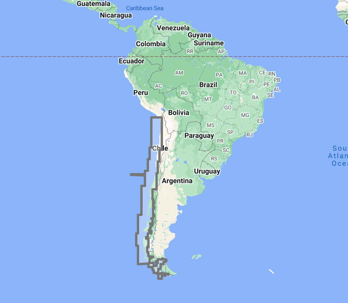
The TimeZero TZ Map: Chile delivers comprehensive navigational coverage for the longest north-south coastline of any nation on earth, stretching over 6,400 kilometers from the Atacama Desert border with Peru to the legendary waters of Cape Horn. Built on the advanced TZ Maps platform developed by TimeZero, this chart pack integrates multiple chart types, official hydrographic raster charts, detailed vector data, high-resolution bathymetric data, and satellite imagery into a single navigational package supporting safe passage through waters that progress from the arid Pacific coast of northern Chile through the temperate central zone to one of the most challenging maritime environments in the world: the glaciated fjords, channels, and exposed ocean coastline of Patagonia and Tierra del Fuego.
Coverage encompasses the full Chilean coast from Arica in the extreme north through the major commercial ports of Iquique, Antofagasta, Coquimbo, and Valparaiso, the central Chilean coastline, the lake district coast from Puerto Montt south into the Chiloe archipelago, the Patagonian channel system extending over 1,000 kilometers from the Gulf of Penas to the Strait of Magellan, the Strait of Magellan itself, the Beagle Channel, Cape Horn and the Diego Ramirez Islands, and Easter Island (Rapa Nui) in the South Pacific. This coverage area supports Chile’s commercial shipping fleet, the copper and mineral export traffic from northern ports, the salmon aquaculture industry of the lake district, the growing expedition cruise traffic through the Patagonian channels and around Cape Horn, and the international yacht traffic rounding South America or staging for Antarctic Peninsula passages.
Raster data within the TZ Map is georeferenced, featuring digital images of official charts from the Servicio Hidrografico y Oceanográfico de la Armada de Chile (SHOA), the Chilean Navy hydrographic service responsible for charting Chilean waters. SHOA maintains chart coverage ranging from the well-surveyed approaches to major commercial ports to the remote Patagonian channels where survey data may be limited and where uncharted rocks and shoals represent a documented navigation hazard. Vector data complements raster imagery with a layered database recording every nautical feature, delivering queryable depth information and navigational object data across the full coverage area, including the remote anchorages and channel passages where official chart detail is concentrated along established shipping routes.
The BathyVision feature provides dynamic 3D bottom data display essential for navigating the deep fjord approaches of Patagonia, the glaciated channels where calving ice creates mobile hazards, the shallow bar crossings of central Chilean river ports, and the exposed Pacific approaches where the continental shelf drops steeply from shore. High-definition satellite imagery options are available for selected port areas.
Compatible with TimeZero Navigator v5, TimeZero Professional v5, and Furuno NavNet TZtouch4 (sold separately).
Overview
Feature Highlights Strip
Navigate with integrated raster and vector chart data sourced from official hydrographic offices and enriched with detailed nautical features.
Visualize bottom structure with high-resolution bathymetry and BathyVision 3D contour mapping for reef, channel, and exposed ocean coast navigation.
Overlay satellite photography with chart data for realistic visual identification of ports, anchorages, and coastal landmarks.
View realistic shoreline altimetry and perspective horizons to identify port entries and fjord approaches from offshore.
Customize chart display by toggling between raster imagery, vector layers, bathymetric overlays, and satellite views within TimeZero software.
Compatible with TimeZero Navigator v5, TimeZero Professional v5, and Furuno NavNet TZtouch4 for recreational and professional navigation.
High-Resolution Bathymetry
Navigate Patagonian Channels, Fjord Approaches, and Exposed Ocean Coast with Confidence
High-resolution bathymetric data transforms chart contour lines into intuitive 3D bottom representations, providing essential depth awareness when navigating into Chilean ports, Patagonian channel anchorages, and the fjord approaches of one of the world’s most remote and navigationally demanding coastlines. The graphic interpretation of contour data creates detailed bottom profiles invaluable for approach planning in waters where glacially carved basins, volcanic seafloor terrain, and Pacific swell exposure create navigation environments that demand every available data advantage.
The BathyVision feature displays bottom topography in color and contour line overlays, allowing mariners to dynamically adjust the visualization to suit their navigation needs. This capability is particularly critical across Chilean waters, where the Patagonian channel system presents over 1,000 kilometers of narrow waterways flanked by glaciated mountains, with uncharted rocks reported by navigators throughout the route and anchorage depths that can exceed 50 meters in locations where the only alternative is tying to shore trees in the absence of swinging room, the Strait of Magellan involves a 570-kilometer transit combining open-water exposure in the western approaches with narrow rock-bound reaches in the central sections where williwaw winds descend from the mountains without warning, the Beagle Channel and Cape Horn approaches present extreme depth gradients, fierce currents, and Southern Ocean swell that interact with shallow banks to create breaking seas in conditions where accurate depth awareness directly affects survival decisions, and the central Chilean coast features a narrow continental shelf where deep Pacific water extends close to shore, creating steep-sided approaches to ports exposed to swell from the world’s largest ocean.
Mariners transiting the Patagonian channels, rounding Cape Horn, entering Valparaiso or San Antonio, or navigating the Chiloe archipelago benefit from bottom structure visualization that flat chart views cannot replicate.
Raster and Vector Chart Fusion
Official Charts Enhanced with Intelligent Data Layers
TZ Maps combines two complementary chart formats to deliver maximum navigational confidence. Georeferenced raster data presents true-color digital copies of official SHOA charts, the authoritative cartographic record for Chilean navigable waters. These images provide a reliable visual reference that experienced navigators can interpret immediately, maintaining the Chilean chart symbology and Spanish-language notation conventions.
Vector data operates alongside raster imagery using a database-driven approach that stores information in discrete layers and records every nautical feature independently. This format enables interactive chart queries, object-based search, and depth value interrogation that static raster imagery cannot provide.
SHOA chart coverage varies significantly across Chile’s extraordinary coastline length. Commercial port approaches at Valparaiso, San Antonio, and Antofagasta reflect modern survey standards. The Patagonian channels carry chart data of variable vintage, with documented hazards reported by transiting vessels supplementing official survey coverage. TZ Maps integrates this full spectrum seamlessly, with vector data layers providing supplementary navigational information that helps mariners assess available chart quality in each area, a critical capability when planning passages through waters where chart adequacy itself is a navigation risk factor.
Satellite Photo Overlay
See the Real Landscape Behind the Chart
TZ Maps fuses satellite photography with raster and vector chart data, presenting only the visual information essential for safe navigation. Standard-resolution satellite images are included in every TZ Maps data pack, with high-definition options available for selected areas.
This overlay capability proves especially valuable along the Chilean coast, where visual identification of channel entrances, anchorage positions, and glacial features against the mountainous Patagonian terrain aids safe approach navigation. Mariners navigating the channels south of Puerto Montt, identifying the Strait of Magellan western entrance against a complex coastline of islands and false passages, or locating shelter anchorages along the exposed central coast, can correlate chart data with actual terrain appearance before committing to the approach. In Patagonia, where glacier-front anchorages require assessment of ice conditions and calving risk, satellite overlay provides advanced visual reconnaissance of conditions that no chart can represent.
Realistic Shoreline Views
Identify Port Entries and Coastal Features from the Horizon
TZ Maps employs altimetry to render shorelines with realistic elevation perspective, creating 3D views that simulate the visual horizon as seen from the bridge. This perspective rendering aids instant identification of port entrances, channel openings, and specific shoreline landmarks during approach.
Chile’s coastline presents some of the most dramatic terrain profiles encountered anywhere in ocean navigation. The Andes descend directly to the sea along much of the southern coast, creating a visual wall of snow-capped peaks that provides unmistakable landfall identification from offshore but makes distinguishing individual fjord and channel entrances challenging until close approach. The northern desert coast presents lower relief but with minimal distinguishing features between ports. The Patagonian channels create a labyrinth of islands, peninsulas, and false passages where correct channel identification prevents potentially dangerous routing errors. Altimetric rendering provides visual previews calibrated to actual Andean terrain elevation, helping mariners distinguish the correct approach point whether entering the Strait of Magellan from the Pacific or identifying a channel entrance among Patagonia’s thousands of islands.
Detailed Land Information
Understand the Coastline and Nearby Infrastructure
Beyond waterway navigation data, TZ Maps integrates detailed land information that enhances understanding of coastlines and nearby infrastructure. Road networks, settlement locations, and coastal facility positions are rendered alongside maritime chart data.
This integrated land detail is critical for Chilean waters, where the concentration of marine services drops precipitously south of Puerto Montt. Through the Patagonian channels, settlements are separated by hundreds of kilometers, fuel is available only at a handful of Chilean Navy stations and fishing villages, repair facilities are essentially nonexistent between Puerto Montt and Punta Arenas, and emergency medical evacuation may require helicopter extraction from locations hours or days from the nearest airstrip. Understanding what infrastructure exists and where it is located is not a planning convenience in Patagonia but a safety prerequisite.
Software Compatibility
Purpose-Built for TimeZero Navigation Software
The TZ Map: Chile is designed for use with TimeZero navigation software platforms and compatible Furuno hardware. Compatible applications include:
TimeZero Navigator v5: Full-featured navigation software for recreational and professional mariners
TimeZero Professional v5: Advanced navigation platform with commercial vessel capabilities
Furuno NavNet TZtouch4: Integrated chartplotter hardware with native TZ Maps support
TZ Maps are delivered as data packs that load directly into compatible software and hardware installations. Mariners using Garmin, Raymarine, Simrad, or other chartplotter platforms should consult the ANS digital charts catalog for compatible chart products.
Complete Setup
Complete Your South American Navigation Setup
TimeZero Navigation Software
TZ Maps require compatible TimeZero software. Choose TimeZero Navigator v5 for recreational cruising or TimeZero Professional v5 for advanced commercial navigation features.
Supplement digital chart data with detailed anchorage descriptions, channel transit planning notes, weather window guidance, and emergency facility locations from dedicated Patagonian and Chilean cruising guides available through ANS.
ADMIRALTY Paper Charts: Chilean Waters
Commercial vessels subject to SOLAS chart carriage requirements should maintain official chart backup for primary navigation areas. ADMIRALTY charts covering the Chilean coast, Strait of Magellan, and Cape Horn are available through the ANS Chart Selector.
Need Help Choosing the Right Charting Solution?
Phone: +1 (954) 522-3321
WhatsApp: +1 (954) 292-4212
Email: sales@amnautical.com
Hours: Mon-Fri 8 am-5 pm | Sat 9 am-5 pm EST
FAQs
Q1. What areas does the TZ Map: Chile cover?
Coverage includes the full Chilean coastline from Arica to Cape Horn, the Patagonian channel system, the Strait of Magellan, the Beagle Channel, the Chiloe archipelago, Easter Island (Rapa Nui), and the Diego Ramirez Islands.
Q2. What software and hardware is this TZ Map compatible with?
Compatible with TimeZero Navigator v5, TimeZero Professional v5, and Furuno NavNet TZtouch4.
Q3. Can TZ Maps be used for SOLAS chart carriage compliance?
TZ Maps are designed for navigation planning and situational awareness. Contact ANS for guidance on SOLAS-compliant chart solutions for Chilean waters.
Q4. What chart data types are included in the TZ Map pack?
Each pack integrates georeferenced raster charts (official SHOA imagery), vector chart data, high-resolution bathymetry with BathyVision 3D display, satellite photography overlay, and detailed land information.
Q5. How reliable is chart coverage in the Patagonian channels?
Chart quality varies significantly. Major commercial routes and port approaches reflect modern survey standards. Remote channel sections carry survey data of variable vintage, with supplementary hazard reports from transiting vessels. Mariners should assess chart adequacy as part of voyage risk assessment and consult SHOA Notices to Mariners for current corrections.
Order placement and pickup was efficient and easy! I made an order mistake and they fixed it quickly for me. Hal was such a pleasure to talk to as well. Product is as described. Thanks!
My wife and I are still a few years away from casting off the dock lines on this journey, but Skipper Bob's insights have really framed my thinking about the Big Picture. I burned through the book in just a few days and have already changed some of our early planning based on the information I gleaned.
Thanks to all of you for keeping this valuable resource readily available!