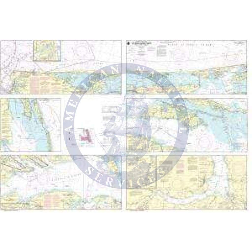
NOAA Nautical Chart 12205: Cape Henry to Pamlico Sound, Including Albemarle Sd.; Rudee Heights

Sale price
$27.95
List price
$32.95
Media:Folio
Media Folio
SKU 12205
Publisher National Oceanic and Atmospheric Administration
UPC 852675837777
Pickup available at 3311 S. Andrews Ave.

Usually ready in 24 hours

View store information

NOAA Nautical Chart 12205: Cape Henry to Pamlico Sound, Including Albemarle Sd.; Rudee Heights is a standard navigation chart used by commercial and recreational mariners alike. Printed "on-demand" with water resistant paper, it contains all of the latest notice to mariner (NTM) updates at the time of printing. The National Oceanic and Atmospheric Administration (NOAA) has partnered with OceanGrafix to provide commercial and recreational mariners with the most accurate nautical charts. This chart meets the definition of a nautical chart laid out in SOLAS Chapter V Regulation 2.2 and also meets the carriage requirements defined in SOLAS Chapter V Regulation 19.2.1.4

  • 5 stars: 2 (100%)
  • 4 stars: 0 (0%)
  • 3 stars: 0 (0%)
  • 2 stars: 0 (0%)
  • 1 star: 0 (0%)
F
Frank W.
NOAA Nautical Chart 12205

Just what I was expecting. I only wish NOAA was still updating this chart

J
JR
Well worth it!

I received my purchase faster than I expected and was a high quality chart at a very reasonable cost. Highly recommend!