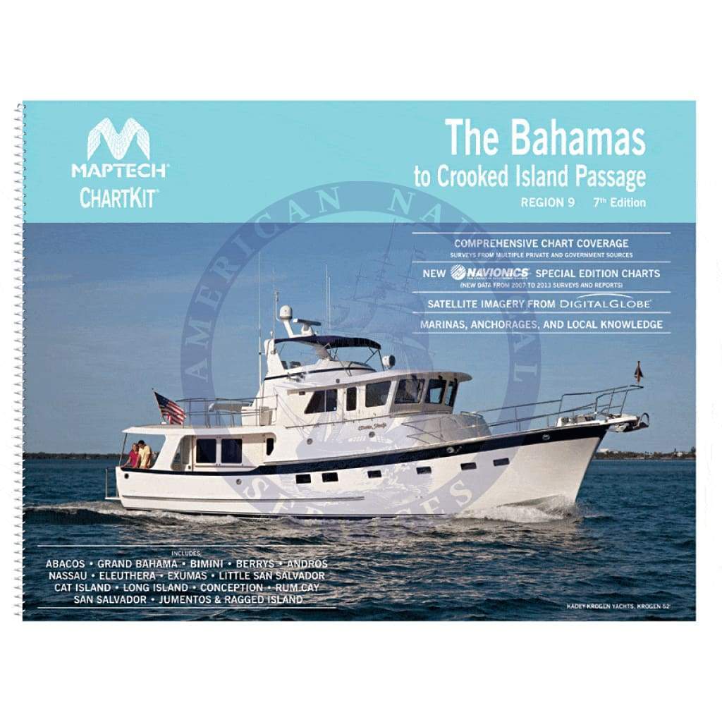
Explore the spectacular waters of The Bahamas with the ChartKit Region 9: The Bahamas to Crooked Island Passage, 7th Edition. This comprehensive guide from Richardson's Maptech brings you detailed and full-color reproductions of NOAA charts, making it an essential resource for any maritime adventurer.
For over 40 years, ChartKit has been synonymous with reliable navigation, having sold more than 1 million ChartKit books. Whether you're a seasoned sailor or a newcomer to nautical navigation, this edition is your perfect companion on the water.
A Great Value - Save up to 90% compared to purchasing individual paper charts, ensuring you stay within budget without sacrificing quality.
The Perfect Size - At 22" x 17", these spiral-bound charts are large enough for easy navigation while being compact enough to use comfortably on your lap.
Easy to Use - Benefit from pre-plotted waypoints and GPS latitude/longitude grids. Magnetic courses allow for effortless compass navigation.
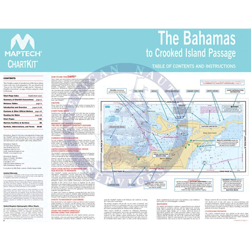
Fully Referenced - Quickly access the information you need with comprehensive geographic and alphabetical indexes.
Reliable - This ChartKit serves as both a primary and secondary navigational reference, with no batteries required!
This ChartKit® Features
- 22" x 17" spiral-bound charts
- Magnetic courses for straightforward navigation
- Multiple chart scales for precise navigation
- Easy access "Go to" page numbers
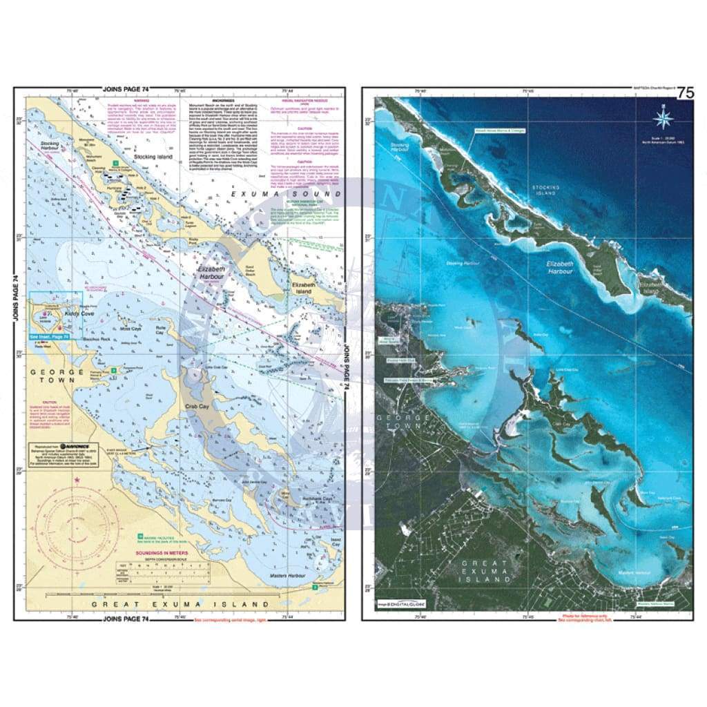
- Aerial photos for a bird’s-eye view
- Companion Software included
Don't miss out on the chance to enhance your nautical library. Check out our Maptech Cruising Bundle for only $149.95!