class="admiraltyElement-P"
Description
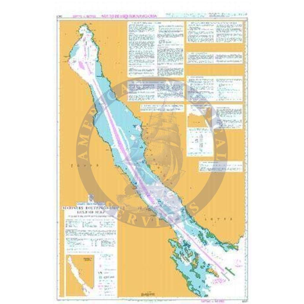
Essential routeing information to help bridge crews safely navigate through some of the world’s busiest and most complex shipping routes.
Each Mariner’s Routeing Guide includes:
-
Verified information highlighting dangers or warnings to navigation, limited depths and dense traffic areas. This additional information, when used alongside official navigational charts, can help to increase situational awareness and reduce the risk of damage caused by collisions and groundings.
- Weekly updates and new editions to help maintain high levels of accuracy and safety. Some routeing guides also include ADMIRALTY QR codes for quick access to a list of all Notices to Mariners (NMs) that affect each chart.
Chart Details
-
Panel NameMariners Routeing Guide Gulf of Suez
-
Area NameGulf of Suez
-
Natural Scale300000
-
North Limit30� 00'.00N
-
East Limit34� 20'.00E
-
South Limit27� 15'.00N
-
West Limit32� 15'.00E