Colección: Recreational Charts & Planning Charts

In addition to our selection of standard nautical charts we offer a wide range of charts and publications for recreational purposes.

Available are waterproof charts and recreational chart kits, each tailored to provide a comprehensive look at a series of  commonly sailed marine areas to popular destination spots. Decorative and historical nautical charts are sure to be the perfect addition to any office, bridge, work space, or home.

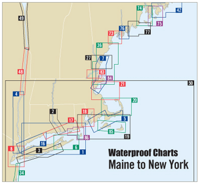
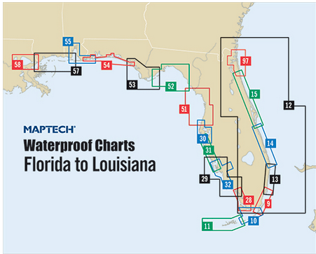
Waterproof Charts: Our waterproof charts are an excellent tool for recreational sailors to navigate with. Using nautical data from the National Oceanic and Atmospheric Administration (NOAA) and National Geospatial-Intelligence Agency (NGA) these charts cover some of the most popular inlets, waterways, and commonly sailed routes in U.S. waters and in the Caribbean. They cab be used a substitute to standard nautical charts for small recreation boats only. These charts are laminated and will be protected from any exposure to water.      

Recreational Nautical Chart Kits:  Detailed chart kits, conveniently organized into 26 popular destinations ranging from the Pacific Northwest and Northern California to the Bahamas Northwest. These chart kits provide coastal and offshore nautical chart coverage. Full-color charts, GPS waypoints, courses and distances, Yeoman points, and color aerial photos. Save hundreds of dollars on charts by purchasing these kits! Browse our selection of fine chart kits, we're sure to have a nautical chart kit to meet your sailing needs.

Historical Nautical Charts: Need a gift for a nautical enthusiast? How about a historical chart from a favorite port or vacation destination? American Nautical Services  offers historical charts for many U.S. regions dating as far back as 1747. These novelty charts are uniquely colored and detailed to give them an vintage look — and they’re printed on gallery-quality paper, ready for framing. These charts provide an excellent view of what mariners used for nautical navigation generations ago. Because these charts depict historical nautical information they are not intended for navigational purposes. 

Decorative Nautical Charts: Do you have a favorite sailing or cruising destination? Do you have a friend or loved-one who does? Decorative nautical charts make great gifts for sailors, fishers, surfers and those who have strong maritime interests. Nautical charts look good in just about any setting and can be matched with almost all decor. They are also perfect for framing and look great under glass.

710 productos
En oferta
Lower Florida Keys Navigation Chart 34
Precio de venta
$27.95
Precio habitual
$39.95
En oferta
Lostmans River to Whitewater Bay Navigation Chart 39
Precio de venta
$27.95
Precio habitual
$39.95
En oferta
Jacksonville and St. Johns River Navigation Chart 37
Precio de venta
$27.95
Precio habitual
$39.95
En oferta
Elliott Key to Lake Worth Navigation Chart 23
Precio de venta
$27.95
Precio habitual
$39.95
En oferta
NGA Nautical Chart 926: Plotting Chart 926
Precio de venta
$20.95
Precio habitual
$24.95
En oferta
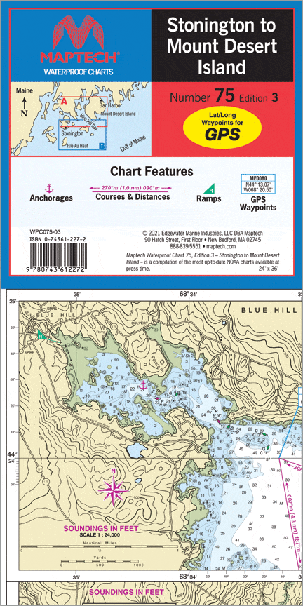
Stonington to Mount Desert Island Waterproof Chart, 3rd Edition
Precio de venta
$27.95
Precio habitual
$32.95
En oferta
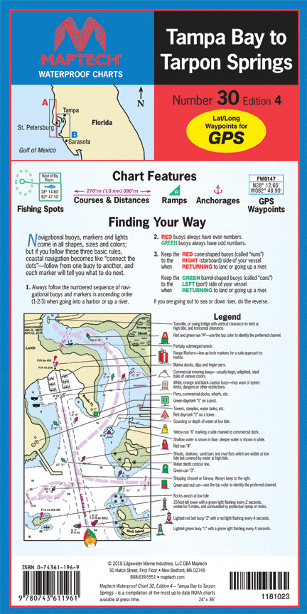
Tampa Bay to Tarpon Springs Waterproof Chart, 4th Edition
Precio de venta
$27.95
Precio habitual
$32.95
En oferta
San Francisco Bay Waterproof Chart, 3rd Edition
Precio de venta
$27.95
Precio habitual
$32.95
En oferta
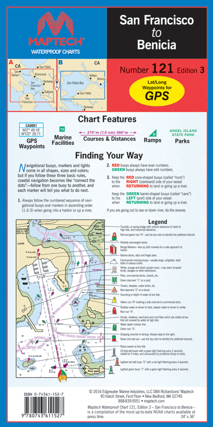
San Francisco to Benicia Waterproof Chart, 3rd Edition
Precio de venta
$27.95
Precio habitual
$32.95
En oferta
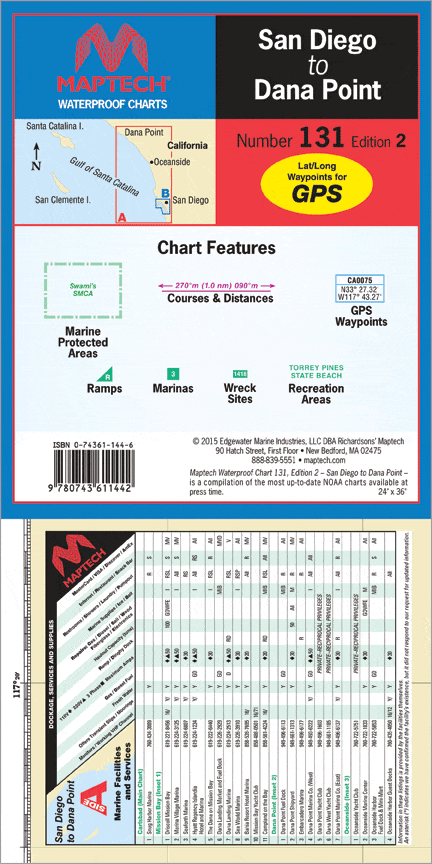
San Diego to Dana Point Waterproof Chart, 2nd Edition
Precio de venta
$27.95
Precio habitual
$32.95
En oferta
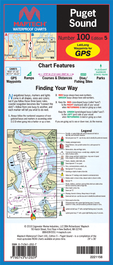
Puget Sound Waterproof Chart, 5th Edition
Precio de venta
$27.95
Precio habitual
$32.95
En oferta
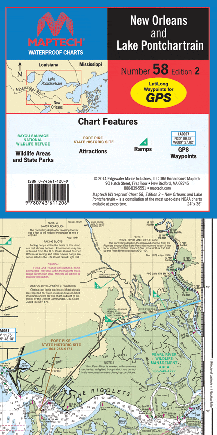
New Orleans and Lake Pontchartrain Waterproof Chart, 2nd Edition
Precio de venta
$27.95
Precio habitual
$32.95
En oferta
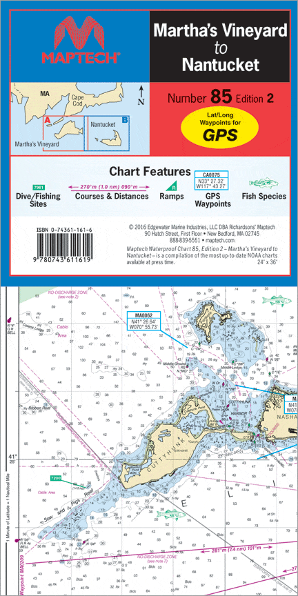
Martha's Vineyard to Nantucket Waterproof Chart, 2nd Edition
Precio de venta
$27.95
Precio habitual
$32.95
En oferta
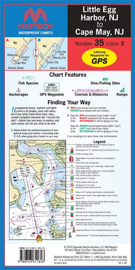
Little Egg Harbor, NJ to Cape May, NJ Waterproof Chart, 3rd Edition
Precio de venta
$27.95
Precio habitual
$32.95
En oferta
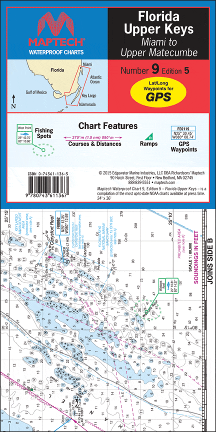
Florida: Upper Keys - Miami to Upper Matecumbe Waterproof Chart, 5th Edition
Precio de venta
$27.95
Precio habitual
$32.95
En oferta
NV-Charts Reg. 8.2 Chart Kit: Florida Northwest - St. Augustine to Lake Worth Inlet, 2016/17 Edition
Precio de venta
$49.95
Precio habitual
$58.95
En oferta
NV. Chart Kit Combo: Florida Regions (8.1 & 8.2)
Precio de venta
$79.95
Precio habitual
$99.95
En oferta
Southeast Florida Swordfish and Trolling Fish and Dive Chart 123F
Precio de venta
$27.95
Precio habitual
$39.95
En oferta
Exuma Islands Mini Map (Miniature Map 8" x 10")
Precio de venta
$4.95
Precio habitual
$14.95
En oferta
Imray Chart A: Puerto Rico to Martinique
Precio de venta
$34.95
Precio habitual
$39.95
See Product Details
En oferta
Imray Chart B31: Grenadines - Middle Sheet (Bequia to Carriacou)
Precio de venta
$34.95
Precio habitual
$39.95
See Product Details
En oferta
Imray Chart E1: Arquipelago dos Açores (North Atlantic Ocean)
Precio de venta
$34.95
Precio habitual
$39.95
See Product Details
En oferta
NV. Chart Kit Combo: Virgin, Leeward and Windward Islands (12.1, 12.2, 12.3)
Precio de venta
$269.95
Precio habitual
$329.95
En oferta
Cape Cod's South Shore & Buzzards Bay Waterproof Chart, 7th Edition
Precio de venta
$27.95
Precio habitual
$32.95
En oferta
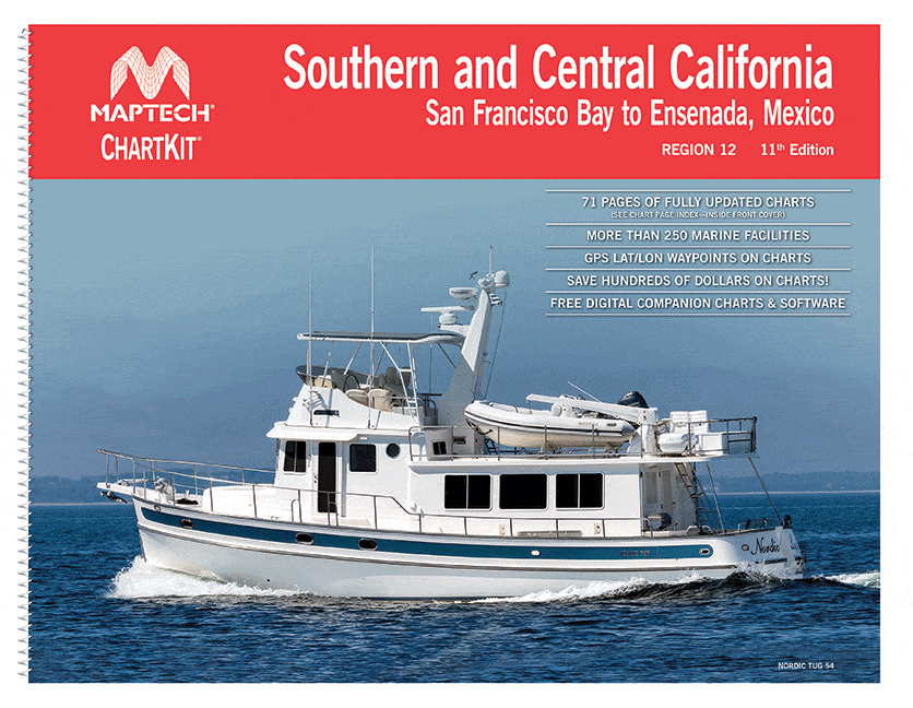
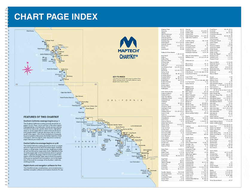
Chart Kit Region 12: Southern and Central California, 11th Edition
Precio de venta
$114.95
Precio habitual
$124.95
En oferta
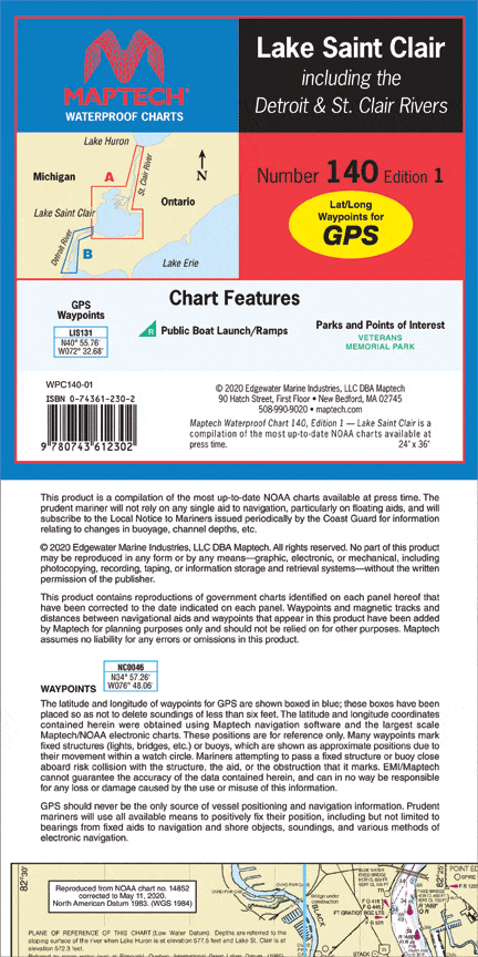
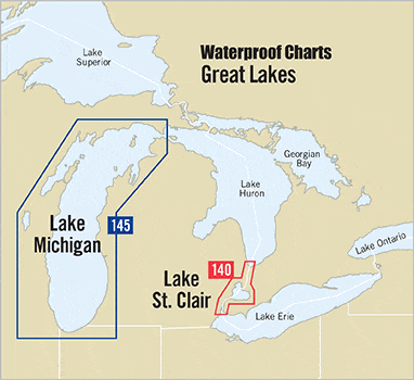
Lake St. Clair Waterproof Chart, 1st Edition
Precio de venta
$27.95
Precio habitual
$32.95
En oferta
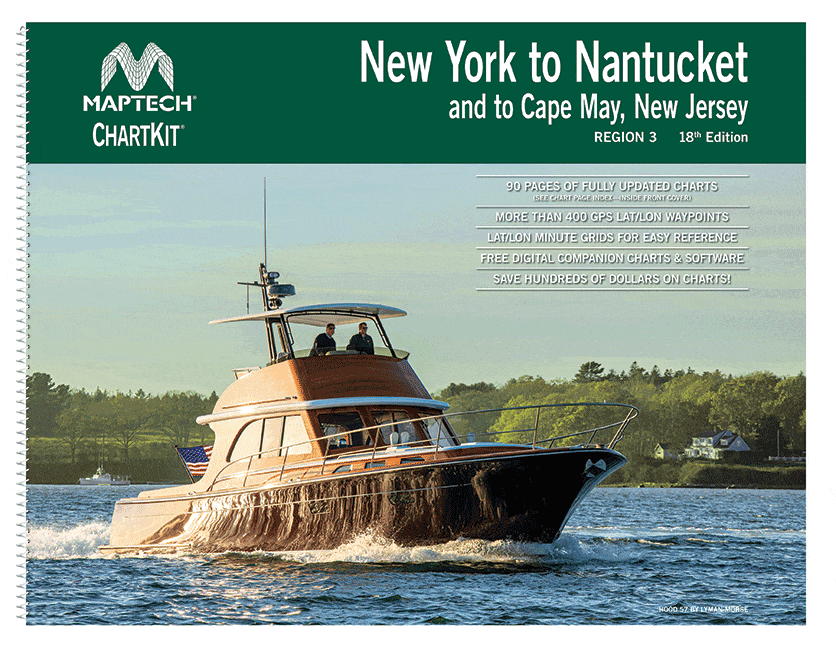
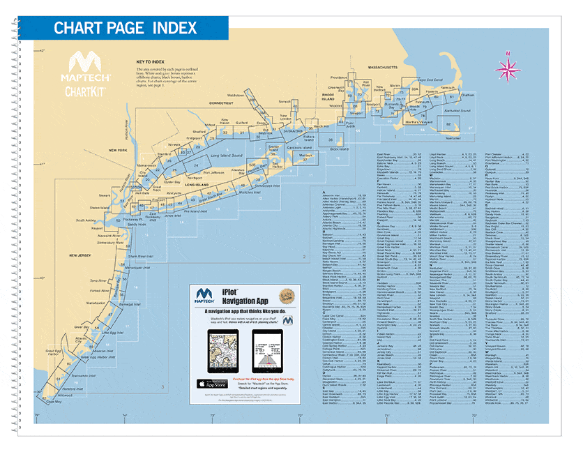
Chart Kit Region 3: New York to Nantucket and Cape May NJ, 18th Edition
Precio de venta
$139.95
Precio habitual
$149.95
En oferta
Maptech Waterproof Chartbook: Los Angeles to San Diego including Ensenada, Mexico, 3rd Edition
Precio de venta
$59.95
Precio habitual
$69.95
En oferta
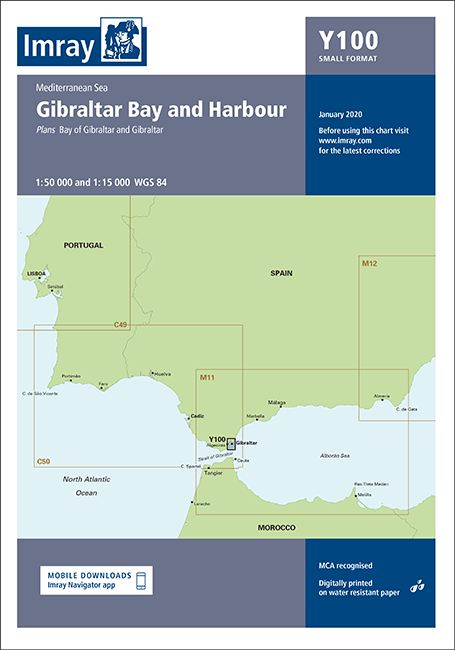
Imray Chart Y100: Gibraltar Bay and Harbour (Small Format)
Precio de venta
$34.95
Precio habitual
$39.95
En oferta
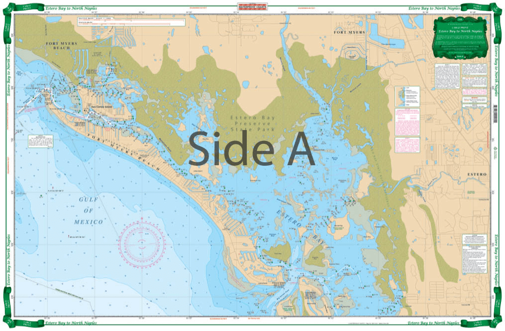
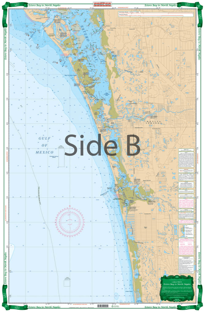
Estero Bay to North Naples 20E
Precio de venta
$27.95
Precio habitual
$39.95
En oferta
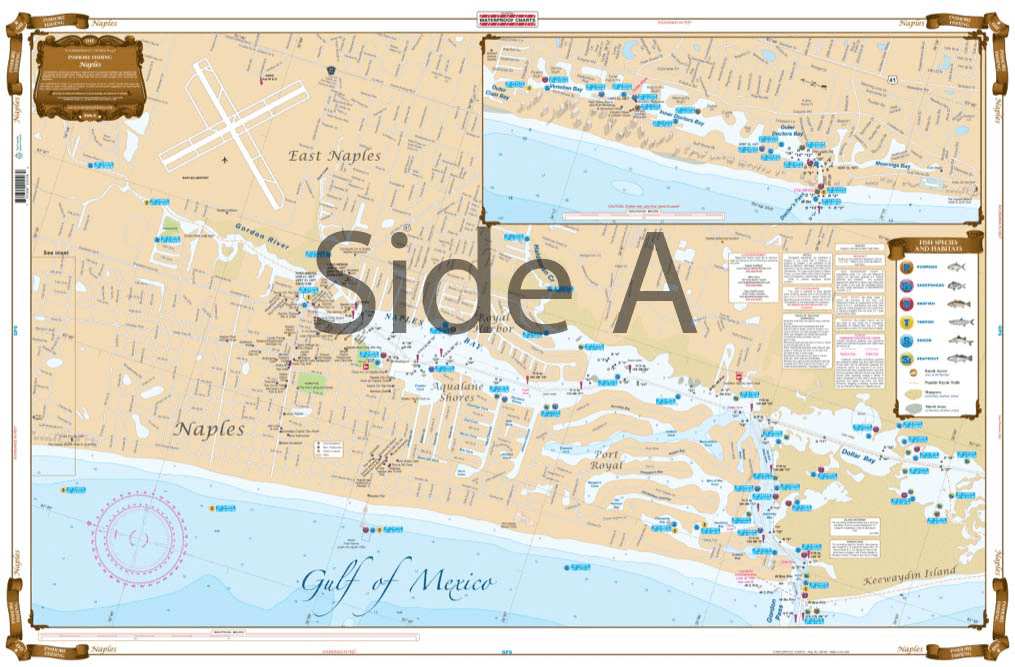
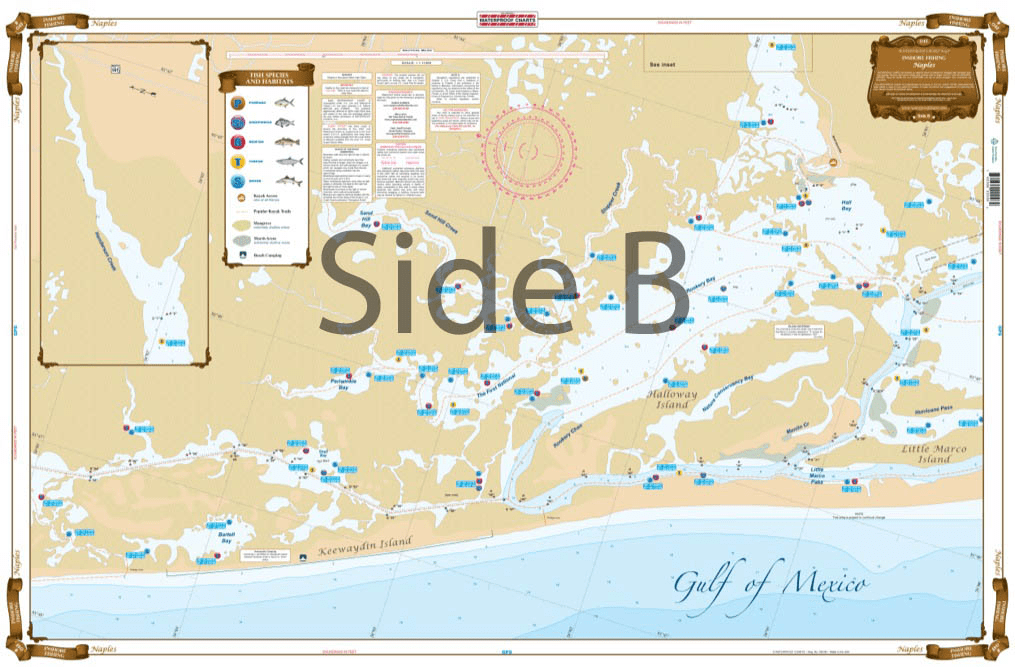
Naples Inshore Fishing Chart 4F
Precio de venta
$27.95
Precio habitual
$39.95
En oferta
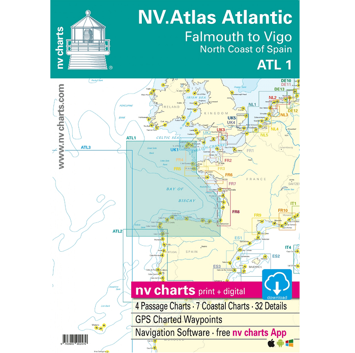
NV Chart Atlas Atlantic ATL1: Falmouth to Vigo and the North Coast of Spain, 2018/2019 Edition
Precio de venta
$69.95
Precio habitual
$89.95
En oferta
Delmarva Atlantic Coast Waterproof Chart, 1st Edition
Precio de venta
$27.95
Precio habitual
$32.95
En oferta
Imray Chart C56: Cork Harbour to Dingle Bay
Precio de venta
$34.95
Precio habitual
$39.95
See Product Details
En oferta
Imray Chart C55: Dingle Bay to Galway Bay
Precio de venta
$34.95
Precio habitual
$39.95
See Product Details
En oferta
Imray Chart C50: Sines to Gibraltar
Precio de venta
$34.95
Precio habitual
$39.95
See Product Details
En oferta
Imray Chart C20: Strait of Gibraltar to Arquipelago dos Açores and Islas Canaries
Precio de venta
$34.95
Precio habitual
$39.95
See Product Details
En oferta
Imray Chart C19: A Coruña to Gibraltar
Precio de venta
$34.95
Precio habitual
$39.95
See Product Details
En oferta
Imray Chart C12: Eastern English Channel Passage Chart
Precio de venta
$34.95
Precio habitual
$39.95
See Product Details
En oferta
Imray Chart M9: South Sardegna
Precio de venta
$34.95
Precio habitual
$39.95
See Product Details