Double click image to zoom in

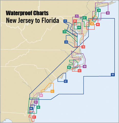
The chart for offshore fishing & cruising! Coverage from Delaware Bay to Georgia to 150 miles offshore. Over 30 pre-plotted GPS waypoints assigned to major aids to navigation along the coast to assist your voyage planning. Approximate scale 1: 592,000.