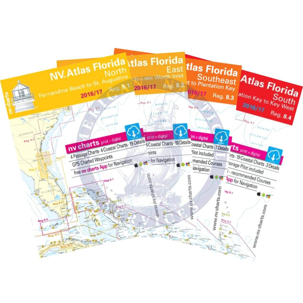
Includes a total of 4 Chart Kits:
NV-charts Reg. 8.1, Florida, North, Fernandina Beach to St. Augustine
Format: Kombipack Paper / Digital download and App
• Digital charts download
• Coastal Charts
• Passage Charts
• Details
• GPS Charted Waypoints & Approaches
Practical to use and accurate in the information and data published: This is the basic concept with which we have developed the nv-charts.
• this Chart Kit is based on NOAA data with a new layout, clear cartography and international chart standards
• depths and heights are charted in feet
• north up chart orientation
• channel markers in red and green
• unique color differences, blue for the 6 ft and 18 ft depths, and green for exposed tidal areas
• contour lines for 12 ft and 30 ft depths
• under water reefs are clearly marked with a light green color and the reef above water in darker green
• variable shoals marked in grey-blue
• lighthouses illustrate their light characteristics for better identification
• seaworthy chart layout - perfect chart flow from one chart to the next
• standardized chart scales - passage charts 1:340,000 – coastal charts 1:45,000 and detail charts 1:25,000 or less
• waypoints with latitudes and longitudes for GPS input
• recommended courses with distances
• arrow-symbols show buoyage direction
• tide information on each chart
NV-charts Reg. 8.2, Florida, East, St. Augustine to Lake Worth Inlet
Format: Kombipack Paper / Digital download and App
• Digital charts download
• Coastal Charts
• Passage Charts
• Details
• GPS Charted Waypoints & Approaches
Practical to use and accurate in the information and data published: This is the basic concept with which we have developed the nv-charts.
• this Chart Kit is based on NOAA data with a new layout, clear cartography and international chart standards
• depths and heights are charted in feet
• north up chart orientation
• channel markers in red and green
• unique color differences, blue for the 6 ft and 18 ft depths, and green for exposed tidal areas
• contour lines for 12 ft and 30ft depths
• under water reefs are clearly marked with a light green color and the reef above water in darker green
• variable shoals marked in grey-blue
• lighthouses illustrate their light characteristics for better identification
• seaworthy chart layout - perfect chart flow from one chart to the next
• standardized chart scales - passage charts 1:340,000 – coastal charts 1:45,000 and detail charts 1:25,000 or less
• waypoints with latitudes and longitudes for GPS input
• recommended courses with distances
• arrow-symbols show buoyage direction
• tide information on each chart
NV-Charts Reg. 8.3, Florida, Southeast, Lake Worth to Plantation Key
Format: Kombipack Papier / Digital download and App
- • CD with Charts
- • Coastal Charts
- • Revierkarten
- • Details
- • GPS Charted Waypoints & Approaches
Practical to use and accurate in the information and data published: This is the basic concept with which we have developed the nv-charts.
- • this Chart Kit is based on NOAA data with a new layout, clear cartography and international chart standards
- • depths and heights are charted in feet
- • north up chart orientation
- • channel markers in red and green
- • unique color differences, blue for the 6 ft and 18 ft dephts, and green for exposed tidal areas
- • contour lines for 12 ft and 30ft depths
- • under water reefs are clearly marked with a light green color and the reef above water in darker green
- • variable shoals marked in grey-blue
- • lighthouses illustrate their light characteristics for better identification
- • seaworthy chart layout - perfect chart flow from one chart to the next
- • standardized chart scales - passage charts 1:340,000 – coastal charts 1:45,000 and detail charts 1:25,000 or less
- • waypoints with latitudes and longitudes for GPS input
- • recommended courses with distances
- • arrow-symbols show buoyage direction
- • tide information on each chart
NV-charts Reg. 8.4, Florida, South, Plantation Key to Key West
Format: Kombipack Papier / Digital download and App
- • Charts Paper and digital
- • Coastal Charts
- • Revierkarten
- • Details
- • GPS Charted Waypoints & Approaches
Practical to use and accurate in the information and data published: This is the basic concept with which we have developed the nv-charts.
• this Chart Kit is based on NOAA data with a new layout, clear cartography and international chart standards
• depths and heights are charted in feet
• north up chart orientation
• channel markers in red and green
• unique color differences, blue for the 6 ft and 18 ft dephts, and green for exposed tidal areas
• contour lines for 12 ft and 30ft depths
• under water reefs are clearly marked with a light green color and the reef above water in darker green
• variable shoals marked in grey-blue
• lighthouses illustrate their light characteristics for better identification
• seaworthy chart layout - perfect chart flow from one chart to the next
• standardized chart scales - passage charts 1:340,000 – coastal charts 1:45,000 and detail charts 1:25,000 or less
• waypoints with latitudes and longitudes for GPS input
• recommended courses with distances
• arrow-symbols show buoyage direction
• tide information on each chart