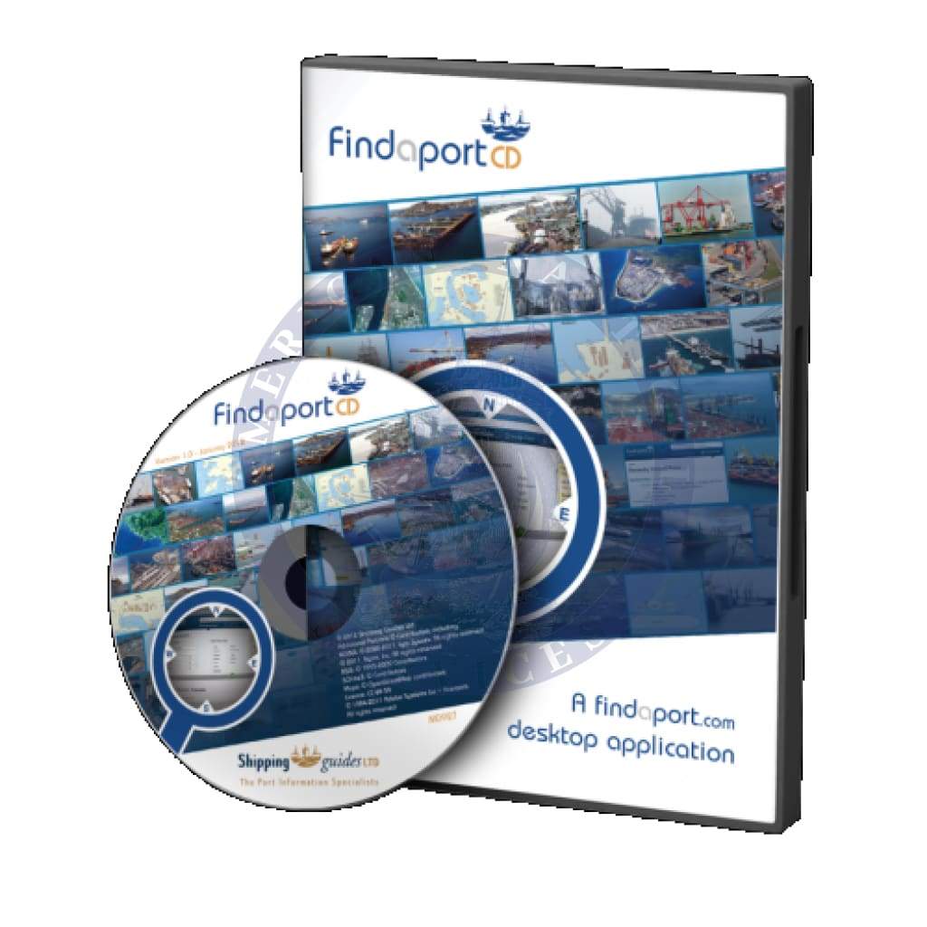

Description
Plan port calls to global destinations with access to port information, interactive maps and extensive search options.
This service is ideal for vessels requiring digital access to port data which is both searchable and frequently updated, whilst being offline. If an internet connection is available/permitted, updated port data can be retrieved and downloaded on a per port basis.
FindaportCD is provided as an annual subscription service whereby 4 discs containing the latest data available are dispatched at quarterly intervals to each subscriber. Delivery for the 4 quarterly CDs is charged in advance within the initial delivery cost.
For more information about FindaportCD, please review the tabs above.
Two versions of FindaportCD are available:
- Standard: access all our port data irrespective of cargo type
- Tanker: view tanker specific data only
Standard Edition
FindaportCD:Standard provides access to global port information for all commercial cargo types, assisting vessels and operational maritime departments in:
- locating over 18,600 ports, harbours, terminals and marine facilities around the world
- accessing detailed port information listed in over 80 headings
- viewing over 5,600 port plans and over 1,000 photographs
- viewing over 2,000 Reports of Actual Conditions Experienced (ACE Reports) provided by fellow seafarers
- searching for ports via a map interface or over 26 specific port requirements, including:
| port name | locode | country | region | coordinates |
| port facilities | cargo types handled | drydock sizes | specific search term, e.g. Shell | |
- identifying the types of cargo handled and drydock capacity using unique port symbols
- saving your favourite ports
- printing and saving port information to the local PC
- emailing port information (internet connection required)
- downloading more recent updates (internet connection required)
Tanker Edition
Tailored to the day-to-day tanker information requirements of oil majors, FindaportCD:Tanker features tanker specific port information, mooring diagrams, berthing operations and cargo facilities.
FindaportCD:Tanker assists with planning port calls and operational activities by enabling you to:
- locate over 8,100 ports and terminals around the world
- access detailed port information listed in over 80 headings
- view over 3,000 port plans and over 1,000 photographs
- view over 600 Reports of Actual Conditions Experienced (ACE Reports) provided by fellow seafarers
- search using a map interface or specify your requirements using over 26 criteria, including:
| port name | locode | country | region | coordinates |
| port facilities | cargo types handled | drydock sizes | Specific search term, e.g. Shell | |
- identify the types of cargo handled and drydock capacity using unique port symbols
- save your favourite ports
- print and save port information to the local PC
- email port information (internet connection required)
- download more recent updates (internet connection required)
Features
Detailed port information is laid out in logical sequence across 80 headings. For a full list of our headings, please click here.
Plans
Many ports feature detailed port plans and mooring diagrams, invaluable to shipmasters approaching unfamiliar ports and berths. Plans are available in six categories for easy reference:
- Country Plans: showing the location of ports
- Port Location: location of, and approaches to, ports, harbours and terminals
- Berth Locations: berth numbers and locations
- Berthing Diagrams: individual berth and mooring arrangements
- Berth Equipment: including cranes, manifolds, chiksans, fire-fighting equipment, fendering and much more
- Shipmasters' Plans: drawings/plans as supplied by shipmasters, officers, superintendents and other authoritative sources
Maps
Maps enable the users of FindaportCD to search by approximate location and are also included in the port pages to provide a visual position for a port.
Additional map features enable users to search for nearby ports at any given location to provide a list of ports in the area.
Photographs
Photographs are included within FindaportCD to provide a visual depiction of the port. Photos include aerial shots of the port limits, as well as views of specific berths and port approaches.
Support
Each current subscription to FindaportCD includes full technical support for the duration of the subscription period, including product activation, system error queries and new PC registration.


