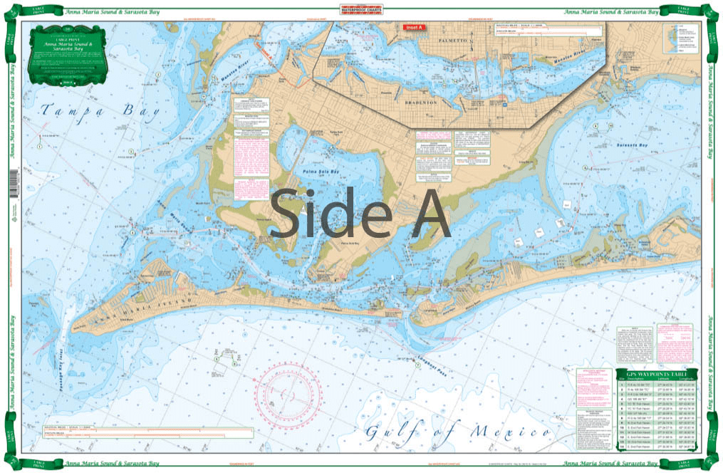
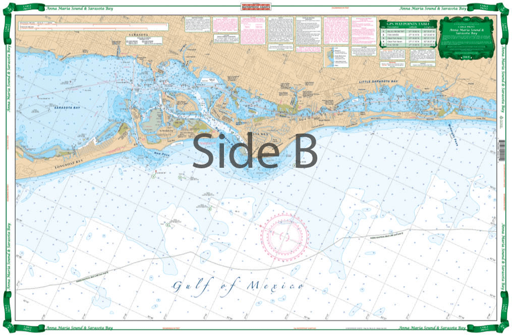
Very large blown up coverage from Anna Maria Island south to Little Sarasota Bays and up the Manatee River to Bradenton and Palmetto. Detail for Sarasota. Large Place names make areas easy to find. A total of 19 plotted and indexed GPS Waypoints make it easy to set up your electronics. Don’t go anywhere without this Anna Maria Sound and Sarasota Bays navigation chart! We use data compiled from 2 NOAA charts to give you a more comprehensive overview of this boating area. This nautical map has a very large blown up coverage from Anna Maria Island south to Little Sarasota Bays and up the Manatee River to Bradenton and Palmetto. Detail are also included for Sarasota. Large place names make areas easy to find, even when boating at high speeds! (Though we don’t recommend you read and drive). A total of 19 plotted and indexed GPS Waypoints make it easy to set up your electronics. Get a second copy of this navigation map. Why? Because you’ll love the vibrant colors so much you’ll get it framed and hung on your wall. Information from 2 NOAA Charts: #11425 and #11411. Nautical chart is 25″ X 38″. WGS84 – World Mercator Datum.


Up to date information, larger print- easy to read
Planning to use this as a memento of a cruise. It came quickly and rolled, so I can get it mounted and remember a transatlantic voyage.
I am so excited to find someone who actually provides paper charts and with great customer service.
Just installed the placards on my Hunter 31. They looked really good. Nice and sturdy. Not like a sheet of paper stuck to the boat!! USCG should be happy!!
excellent service and very good product recieved