Colección: Recreational Charts & Planning Charts

In addition to our selection of standard nautical charts we offer a wide range of charts and publications for recreational purposes.

Available are waterproof charts and recreational chart kits, each tailored to provide a comprehensive look at a series of  commonly sailed marine areas to popular destination spots. Decorative and historical nautical charts are sure to be the perfect addition to any office, bridge, work space, or home.

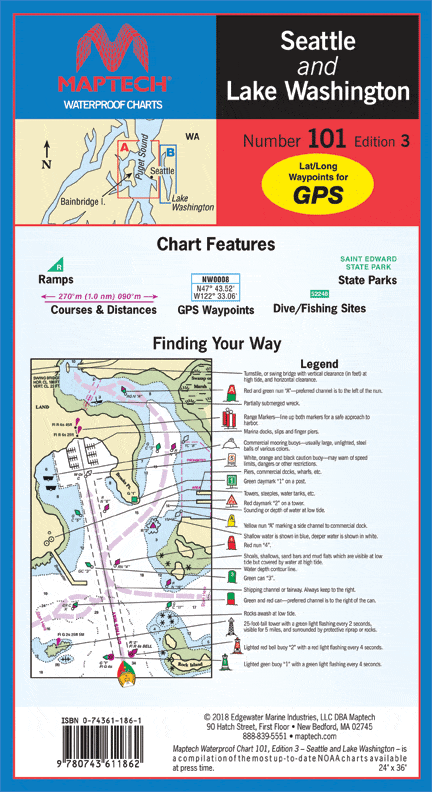
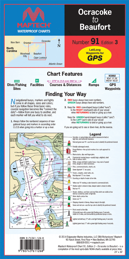
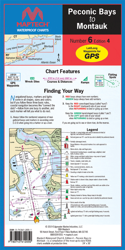
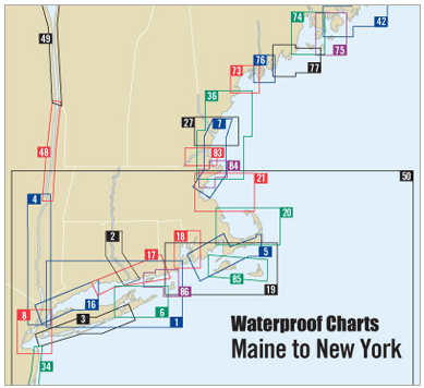
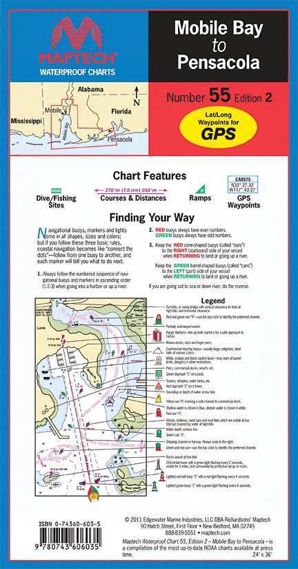
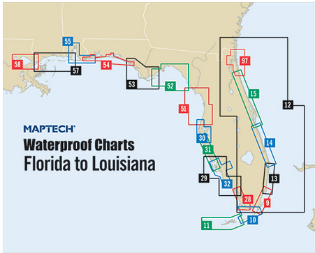
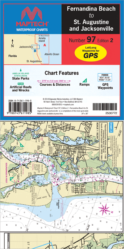
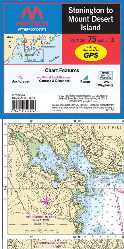
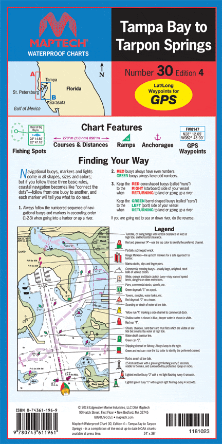
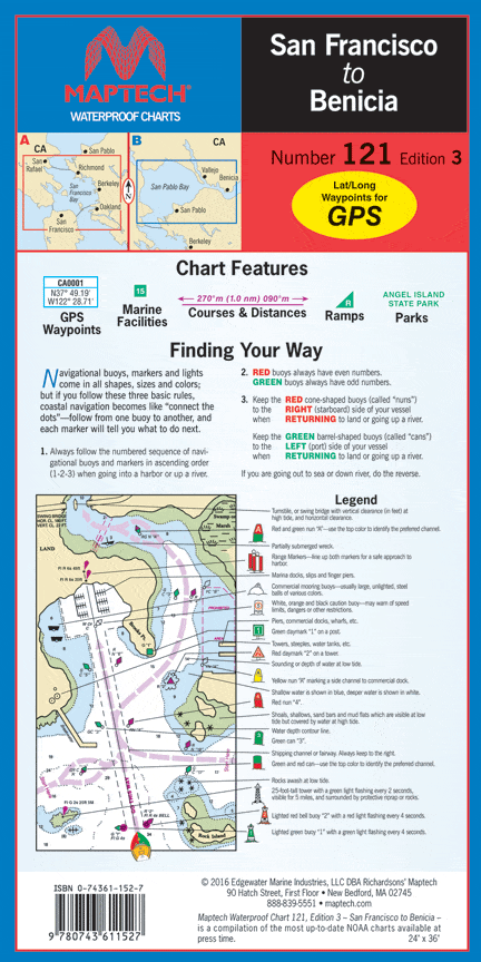
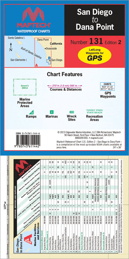
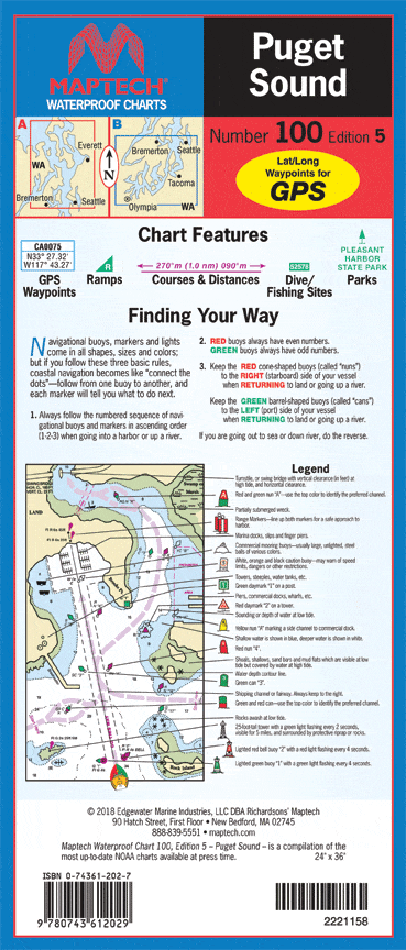
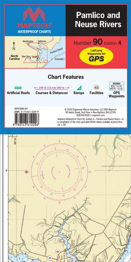
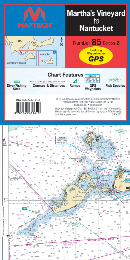
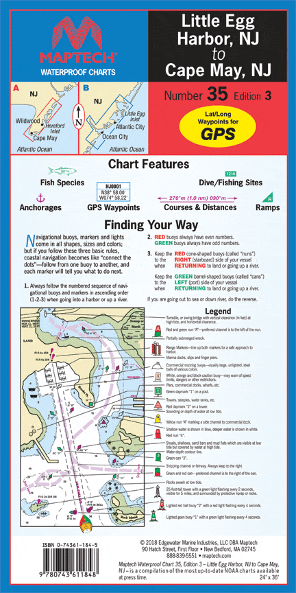
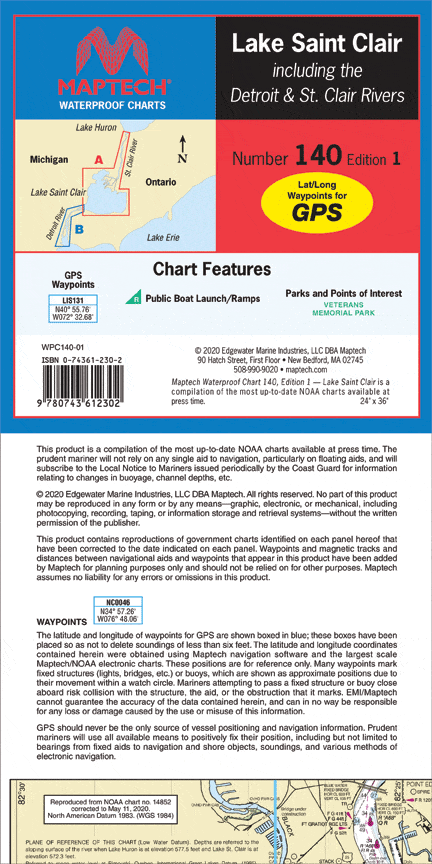
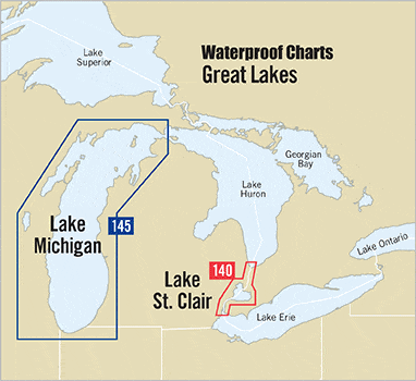
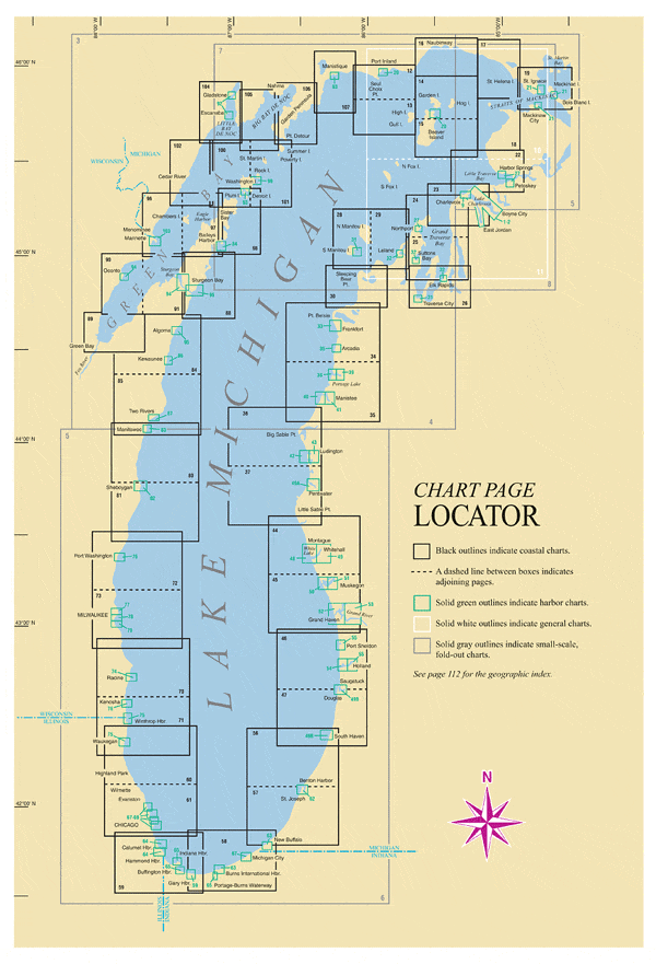
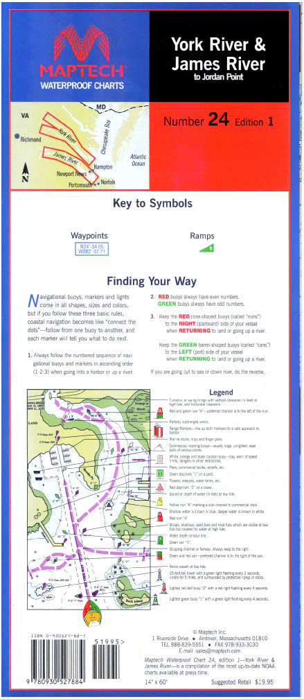
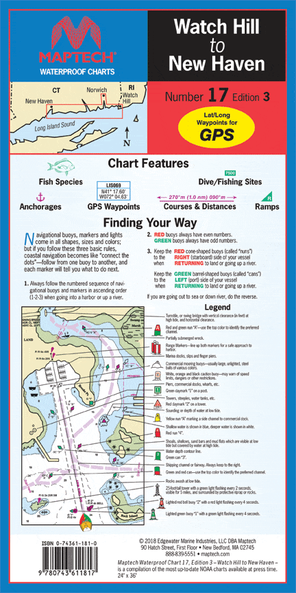
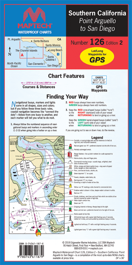
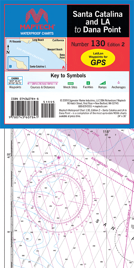
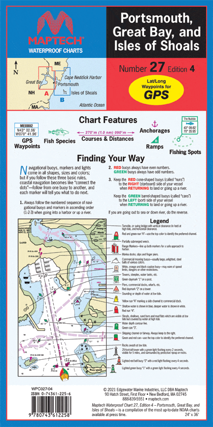
Waterproof Charts: Our waterproof charts are an excellent tool for recreational sailors to navigate with. Using nautical data from the National Oceanic and Atmospheric Administration (NOAA) and National Geospatial-Intelligence Agency (NGA) these charts cover some of the most popular inlets, waterways, and commonly sailed routes in U.S. waters and in the Caribbean. They cab be used a substitute to standard nautical charts for small recreation boats only. These charts are laminated and will be protected from any exposure to water.      

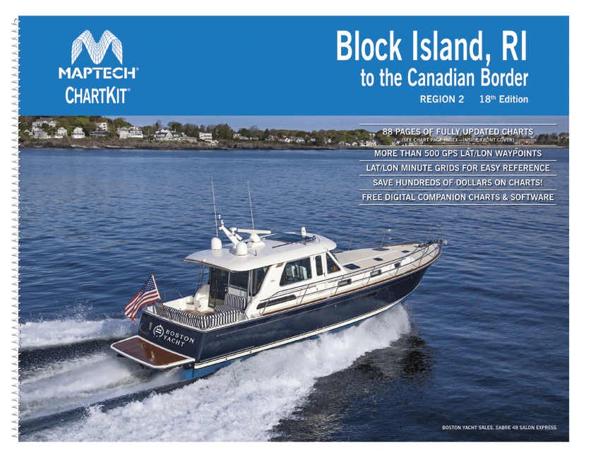
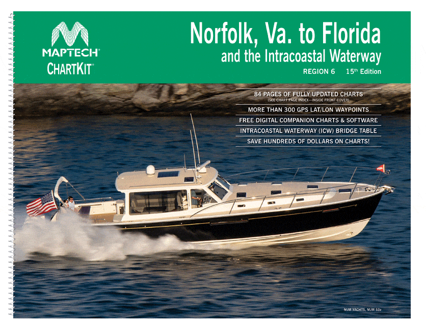
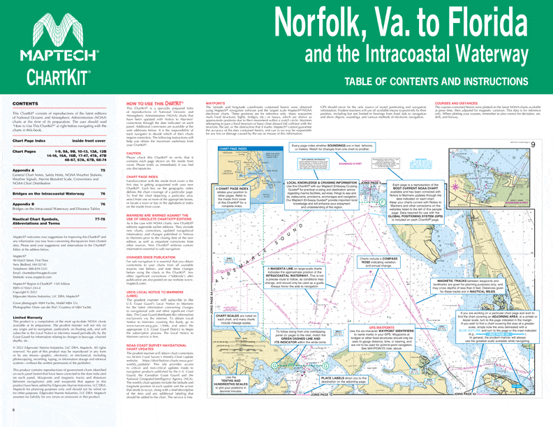
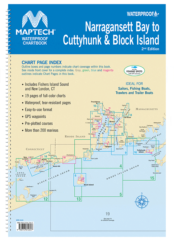
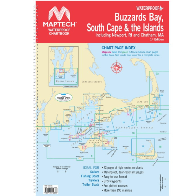
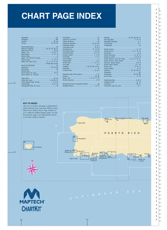
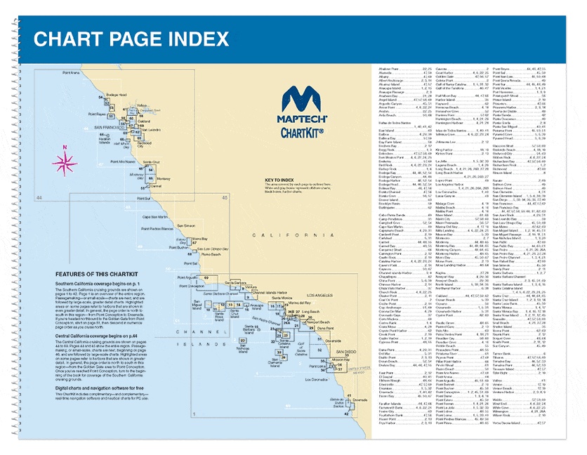
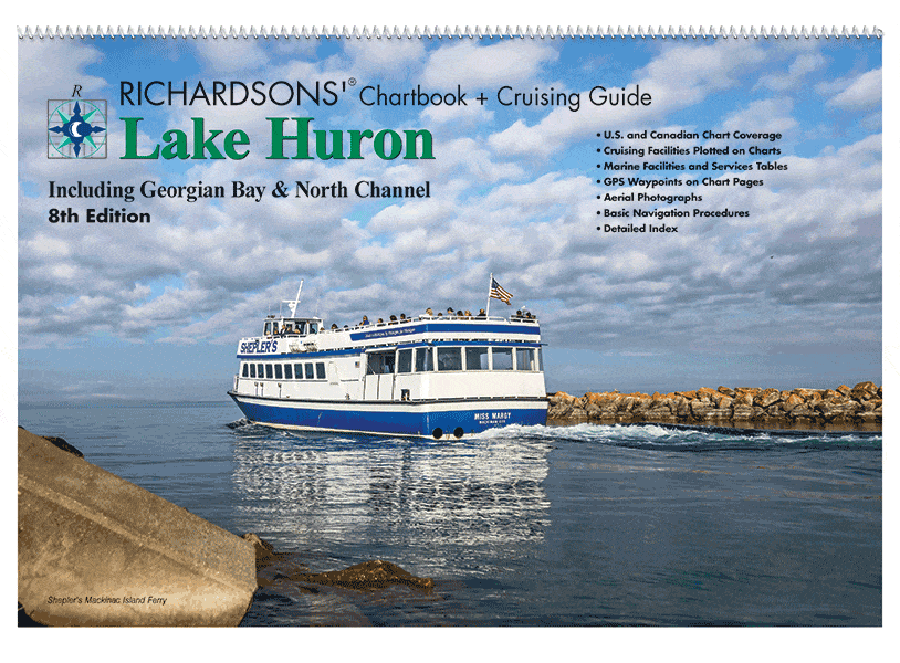
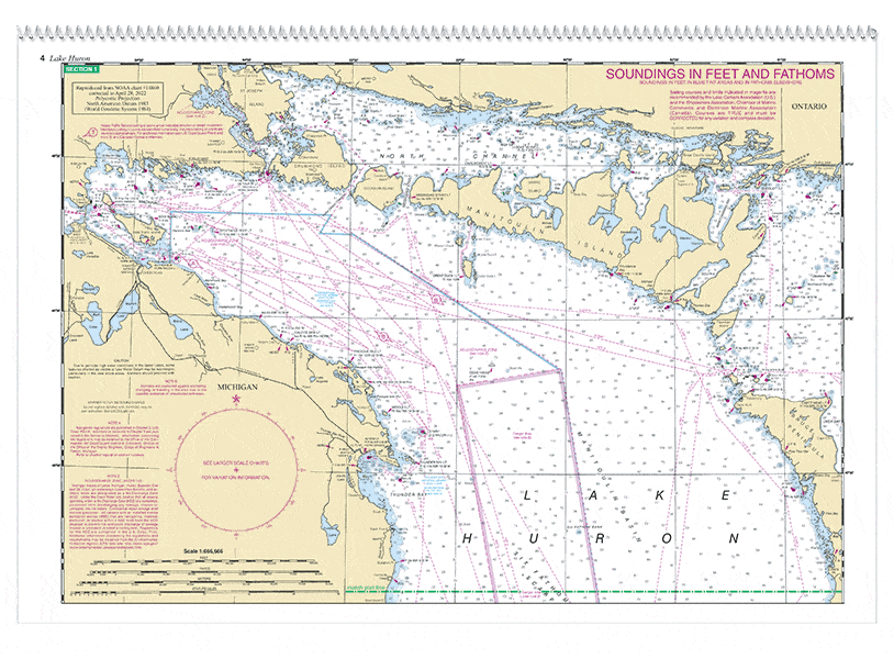
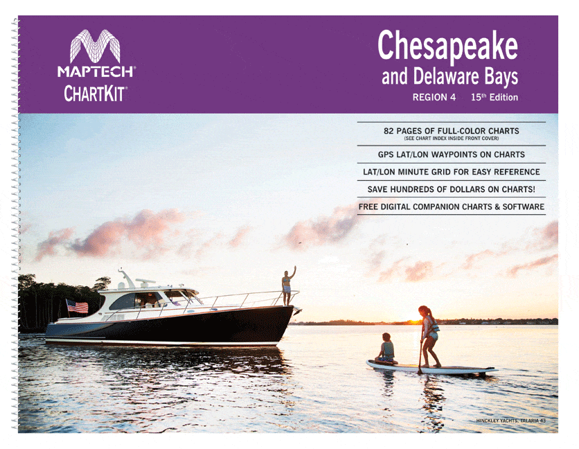
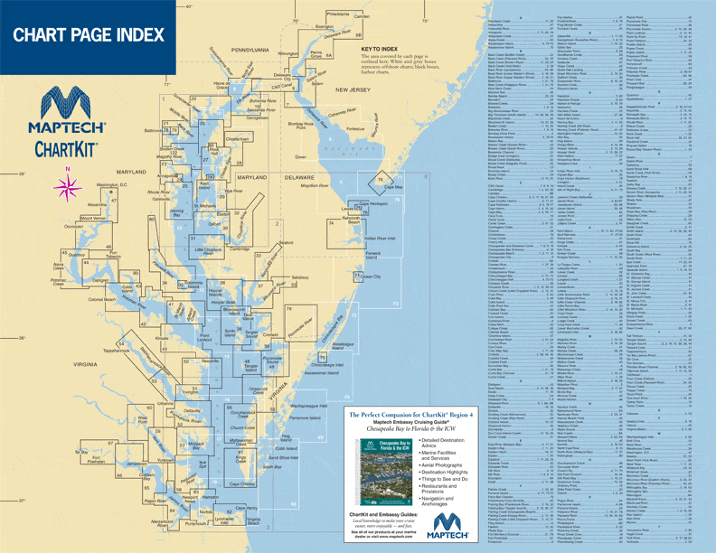
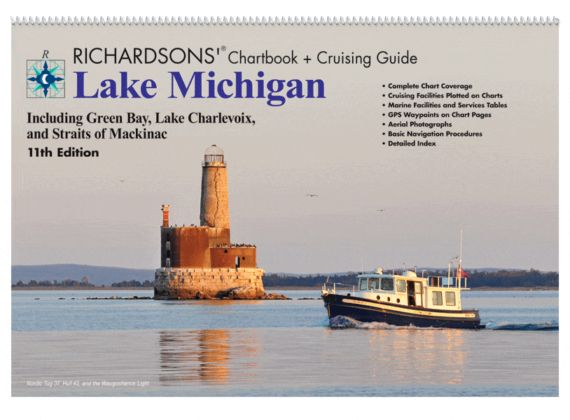
Recreational Nautical Chart Kits:  Detailed chart kits, conveniently organized into 26 popular destinations ranging from the Pacific Northwest and Northern California to the Bahamas Northwest. These chart kits provide coastal and offshore nautical chart coverage. Full-color charts, GPS waypoints, courses and distances, Yeoman points, and color aerial photos. Save hundreds of dollars on charts by purchasing these kits! Browse our selection of fine chart kits, we're sure to have a nautical chart kit to meet your sailing needs.

Historical Nautical Charts: Need a gift for a nautical enthusiast? How about a historical chart from a favorite port or vacation destination? American Nautical Services  offers historical charts for many U.S. regions dating as far back as 1747. These novelty charts are uniquely colored and detailed to give them an vintage look — and they’re printed on gallery-quality paper, ready for framing. These charts provide an excellent view of what mariners used for nautical navigation generations ago. Because these charts depict historical nautical information they are not intended for navigational purposes. 

Decorative Nautical Charts: Do you have a favorite sailing or cruising destination? Do you have a friend or loved-one who does? Decorative nautical charts make great gifts for sailors, fishers, surfers and those who have strong maritime interests. Nautical charts look good in just about any setting and can be matched with almost all decor. They are also perfect for framing and look great under glass.

Filter by
122 de 922 productos
Richardson's Maptech Charts Richardson's Maptech Charts Borrar todo
En oferta
Lake Mead Waterproof Chart, 1st Edition
Precio de venta
$27.95
Precio habitual
$32.95
En oferta
Muscongus Bay - Pemaquid Point to Penobscot Bay Waterproof Chart, 1st Edition
Precio de venta
$27.95
Precio habitual
$32.95
En oferta
Maptech Waterproof Chartbook: Long Island Sound, 6th Edition
Precio de venta
$59.95
Precio habitual
$69.95
En oferta
Lake Superior Chartbook + Cruising Guide, 4th Edition
Precio de venta
$89.95
Precio habitual
$79.95
En oferta
The Delta-Benicia to Sacramento & Stockton Waterproof Chart, 3rd Edition
Precio de venta
$27.95
Precio habitual
$32.95
En oferta
Seattle and Lake Washington Waterproof Chart, 3rd Edition
Precio de venta
$27.95
Precio habitual
$32.95
En oferta
Penobscot Bay Waterproof Chart, 3rd Edition
Precio de venta
$27.95
Precio habitual
$32.95
En oferta
Delaware Bay and the C & D Canal Waterproof Chart, 3rd Edition
Precio de venta
$27.95
Precio habitual
$32.95
En oferta
Chart Kit Region 2: Block Island, RI to the Canadian Border, 18th Edition
Precio de venta
$139.95
Precio habitual
$149.95
En oferta
Maptech Waterproof Chartbook: Penobscot Bay to Mount Desert Island, 3rd Edition
Precio de venta
$59.95
Precio habitual
$69.95
En oferta
Ocracoke to Beaufort, NC Waterproof Chart, 3rd Edition
Precio de venta
$27.95
Precio habitual
$32.95
En oferta
Peconic Bays to Montauk Waterproof Chart, 4th Edition
Precio de venta
$27.95
Precio habitual
$32.95
En oferta
Mobile Bay to Pensacola Waterproof Chart, 2nd Edition
Precio de venta
$27.95
Precio habitual
$32.95
En oferta
Fernandina Beach to St. Augustine and Jacksonville Waterproof Chart, 2nd Edition
Precio de venta
$27.95
Precio habitual
$32.95
En oferta
Cape May, NJ to Savannah, GA Waterproof Chart, 2nd Edition
Precio de venta
$27.95
Precio habitual
$32.95
En oferta
Maptech Waterproof Chartbook: Narragansett Bay to Cuttyhunk & Block Island, 2nd Edition
Precio de venta
$59.95
Precio habitual
$69.95
En oferta
Chart Kit Region 6: Norfolk, VA to Florida and the Intracoastal Waterway, 15th Edition
Precio de venta
$139.95
Precio habitual
$149.95
En oferta
Maptech Waterproof Chartbook: Buzzards Bay, South Cape and The Islands, 1st Edition
Precio de venta
$59.95
Precio habitual
$69.95
En oferta
Stonington to Mount Desert Island Waterproof Chart, 3rd Edition
Precio de venta
$27.95
Precio habitual
$32.95
En oferta
Tampa Bay to Tarpon Springs Waterproof Chart, 4th Edition
Precio de venta
$27.95
Precio habitual
$32.95
En oferta
San Francisco to Benicia Waterproof Chart, 3rd Edition
Precio de venta
$27.95
Precio habitual
$32.95
En oferta
San Diego to Dana Point Waterproof Chart, 2nd Edition
Precio de venta
$27.95
Precio habitual
$32.95
En oferta
Puget Sound Waterproof Chart, 5th Edition
Precio de venta
$27.95
Precio habitual
$32.95
En oferta
Pamlico and Neuse Rivers Waterproof Chart, 4th Edition
Precio de venta
$27.95
Precio habitual
$32.95
En oferta
Narragansett Bay Waterproof Chart, 5th Edition
Precio de venta
$27.95
Precio habitual
$32.95
En oferta
Martha's Vineyard to Nantucket Waterproof Chart, 2nd Edition
Precio de venta
$27.95
Precio habitual
$32.95
En oferta
Little Egg Harbor, NJ to Cape May, NJ Waterproof Chart, 3rd Edition
Precio de venta
$27.95
Precio habitual
$32.95
En oferta
Florida: Upper Keys - Miami to Upper Matecumbe Waterproof Chart, 5th Edition
Precio de venta
$27.95
Precio habitual
$32.95
En oferta
Lake St. Clair Waterproof Chart, 1st Edition
Precio de venta
$27.95
Precio habitual
$32.95
En oferta
Lake Huron Chartbook + Cruising Guide, 8th Edition
Precio de venta
$107.95
Precio habitual
$124.95
En oferta
Chart Kit Region 4: Chesapeake and Delaware Bays, 15th Edition
Precio de venta
$139.95
Precio habitual
$149.95
En oferta
Lake Michigan Chartbook + Cruising Guide, 11th Edition
Precio de venta
$89.95
Precio habitual
$84.95
En oferta
Maptech Waterproof Chartbook: South Shore Long Island, 4th Edition
Precio de venta
$59.95
Precio habitual
$69.95
En oferta
Delmarva Atlantic Coast Waterproof Chart, 1st Edition
Precio de venta
$27.95
Precio habitual
$32.95
En oferta
York and James Rivers Waterproof Chart, 1st Edition
Precio de venta
$27.95
Precio habitual
$32.95
En oferta
Watch Hill to New Haven Waterproof Chart, 3rd Edition
Precio de venta
$27.95
Precio habitual
$32.95
En oferta
Southern California: Point Arguello to San Diego Waterproof Chart, 2nd Edition
Precio de venta
$27.95
Precio habitual
$32.95
En oferta
Santa Catalina and LA to Dana Point Waterproof Chart, 2nd Edition
Precio de venta
$27.95
Precio habitual
$32.95
En oferta
San Francisco Bay Waterproof Chart, 3rd Edition
Precio de venta
$27.95
Precio habitual
$32.95
En oferta
Portsmouth, Great Bay, and Isles of Shoals Waterproof Chart, 4th Edition
Precio de venta
$27.95
Precio habitual
$32.95