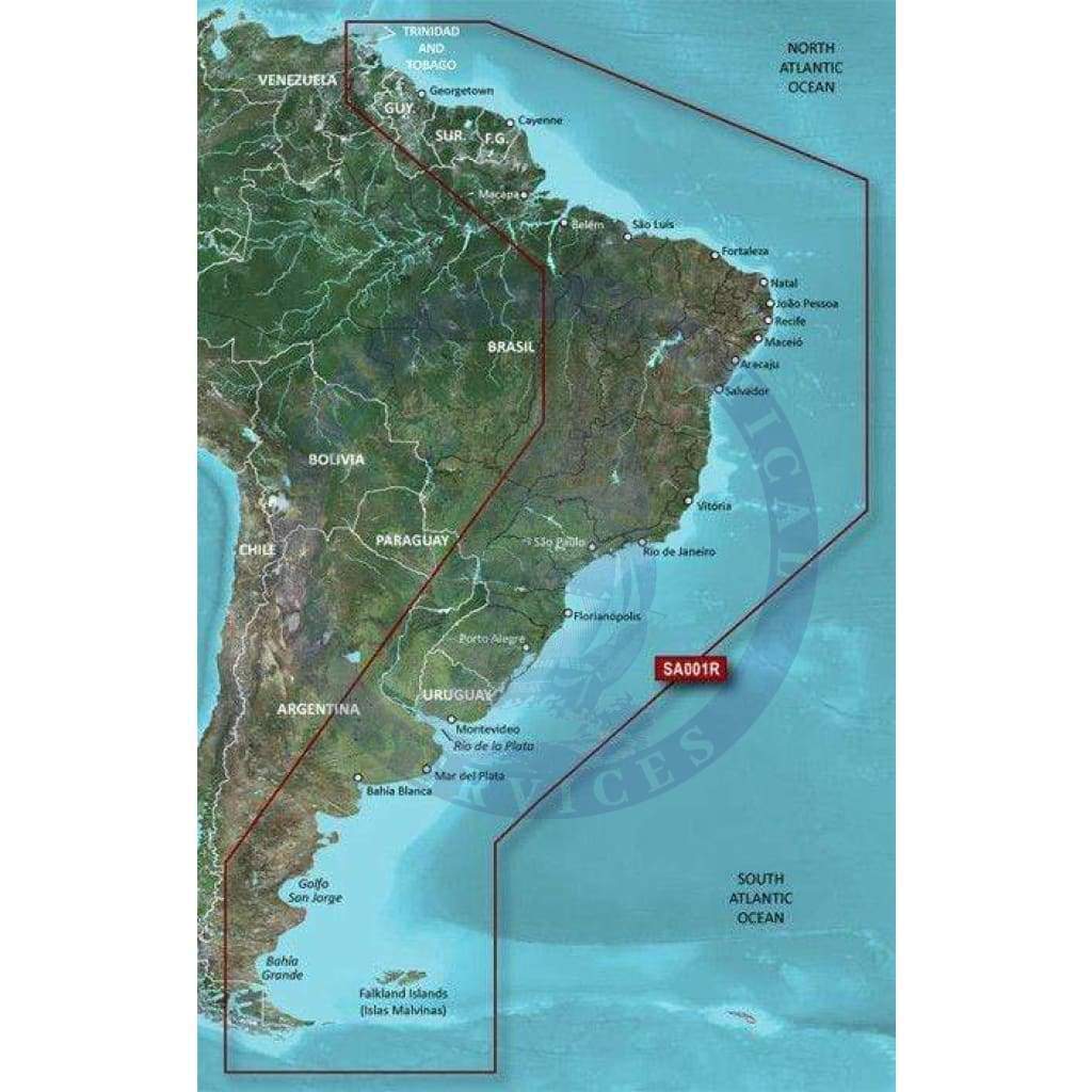
Coverage
Coverage of the east coast of South America from the Golfo de Paria to Tierra del Fuego. Coverage includes Trinidad and Tobago; the Lago de Brasilia; the Rio de la Plata; the Rio Uruguay to Salto, Uruguay; the Rio Parana to Parana, Argentina and the Falkland Islands (Islas Malvinas).
Bluechart G2 Features
See your vessel’s precise, on-chart position in relation to navaids, coastal features, anchorages, obstructions, waterways, restricted areas and more with this detailed marine mapping data.
- Shaded depth contours, coastlines, spot soundings, navaids, port plans, wrecks, obstructions, intertidal zones, restricted areas and IALA symbols.
- Seamless transitions between zoom levels and more continuity across chart boundaries.
- Standard 2-D direct overhead or 3-D “over the bow” map perspective for easy chart reading and orientation.
- Safety Shading* enables contour shading for all depth contours shallower than your defined safe depths.
- Fishing Charts* to scope out bottom contours and depth soundings with less visual clutter on the display.
- Features up to 1-foot HD fishing contours which reveal detailed seafloor terrain.
- Plan and organize routes from your computer with HomePort™ (sold separately).