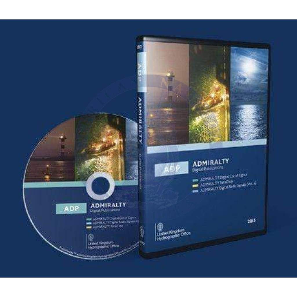
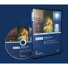
ADMIRALTY TotalTide (ATT) is the UK Hydrographic Office's tidal prediction software. It gives tidal heights for more than 7,000 ports and tidal streams for more than 3,000 stations worldwide, so bridge teams can work out safe clearances and plan arrivals and departures.
At a glance
| Product |
ADMIRALTY TotalTide (ATT), part of ADMIRALTY Digital Publications |
| Publisher |
UK Hydrographic Office (UKHO) |
| Coverage |
7,000+ ports and 3,000+ tidal stream stations |
| Licensing |
Licensed by area (see options above) |
| Updates |
Tidal database updated every year in line with the ADMIRALTY Tide Tables |
Areas available
- Areas 1–4: Europe, Northern waters and Mediterranean
- Area 5: Red Sea, the Gulf and Indian Ocean (northern part)
- Area 6: Singapore to Japan and Philippines
- Area 7: Australia and Borneo
- Area 8: Pacific Ocean, New Zealand, North and South America (west coast)
- Area 9: North America (east coast) and Caribbean
- Area 10: South Atlantic and southern Indian Ocean
What it does
- Calculates tidal heights for several ports, up to 7 days ahead
- Shows safe clearance from the ship's draught, air draught and under-keel clearance allowance
- Displays predictions as graphs for easier passage planning
- Can overlay real-time tidal predictions on chart-based displays, updated every 60 seconds
Carriage and approvals
ADMIRALTY Digital Publications, including TotalTide, are approved by the flag states of most internationally trading ships as meeting SOLAS carriage requirements for tidal information. You must keep the latest database version. Check your flag state's current approvals on the UKHO website.