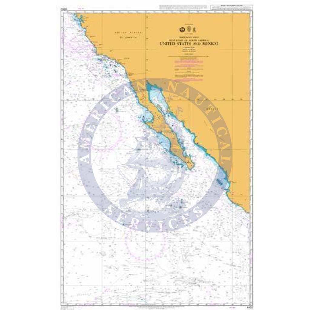
Colección: A1 - The World Index of Charts at 1:3,500,000 Scale

A1 - The World Index of Charts at 1:3,500,000 Scale are print-on-demand (POD) and are fully up-to-date with the latest NTM corrections available. The Admiralty's standard nautical paper charts comply with Safety of Life at Sea (SOLAS) regulations and are ideal for professional, commercial, and recreational use. 

(These charts are also known as UKHO - United Kingdom Hydrographic Office Paper Charts and British Admiralty (BA) Paper Charts)


Click here for our Interactive Nautical Paper Chart Finder! 
(Select the chart publisher and scale on the left hand side to see charts)

Categories
100 productos
British Admiralty Nautical Chart 4714: Indian Ocean, Cocos (Keeling) Islands to Île Saint-Paul
Precio
$47.95
British Admiralty Nautical Chart 4794: Canada, Great Lakes / Grands Lacs, Continuation
Precio
$47.95
British Admiralty Nautical Chart 4801: North Pacific Ocean, West Coast of United States and Canada, Mexican Border to Dixon Entrance
Precio
$47.95
British Admiralty Nautical Chart 4809: Hawaiian Islands
Precio
$47.95
British Admiralty Nautical Chart 4805: Hawaiian Islands to the Aleutian Trench
Precio
$47.95
British Admiralty Nautical Chart 4807: San Francisco to Hawaii
Precio
$47.95
British Admiralty Nautical Chart 4808: Hawaii to the Clipperton Fracture Zone
Precio
$47.95
British Admiralty Nautical Chart 4802: United States and Mexico
Precio
$47.95
British Admiralty Nautical Chart 4806: North Pacific Ocean, San Francisco and Vancouver Island to Mendocino Fracture Zone
Precio
$47.95
British Admiralty Nautical Chart 481: Serpent's Mouth
Precio
$47.95
British Admiralty Nautical Chart 4810: North Pacific Ocean, West Coast of North America, Dixon Entrance to Unimak Pass
Precio
$47.95
British Admiralty Nautical Chart 4811: Pacific Ocean, Central America, Mexico to Ecuador
Precio
$47.95