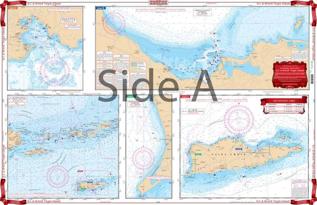
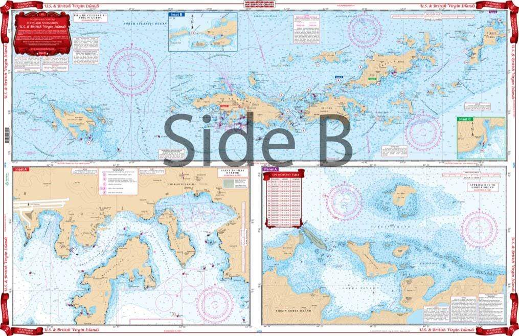
Complete coverage of the Virgins from Culebra east to Virgin Gorda and south to St.Croix. Expanded detailed insets for the areas of Charlotte Amalie Harbor, Gorda Sound, Tortola’s West End, Nanny Key, South End of Virgin Gorda, Road Harbor, Christiansted and West St. Croix and the Island of St Croix. Shows new construction on St. Thomas and Virgin Gorda. Boating the US and British Virgin Islands is a dream for most. These areas are famous for their waters. Island hopping is very popular in these parts, so it’s a good idea to grab a Virgin Islands map to help guide the way. You won’t need separate navigation charts for this area. We have combined a US Virgin Islands map and British Virgin Islands map! Complete coverage of the Virgin Islands from Culebra east to Virgin Gorda and south to St.Croix. Expanded detailed insets for the areas of Charlotte Amalie Harbor, Gorda Sound, Tortola’s West End, Nanny Key, South End of Virgin Gorda, Road Harbor, Christiansted and West St. Croix and the Island of St Croix. Shows new construction on St. Thomas and Virgin Gorda. To commemorate your trip, get this Virgin Islands Map framed. When friends and family see it, you can regal them with tales of your boating adventures. Information from 9 different government charts. Nautical chart is 25″ X 38″. WGS84 – World Mercator Datum.