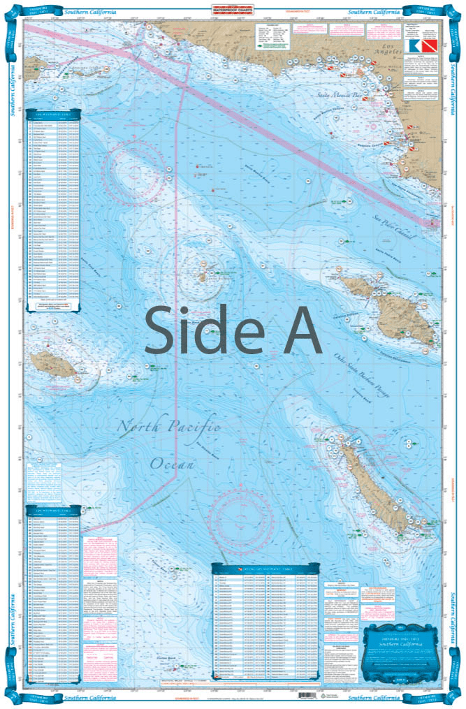
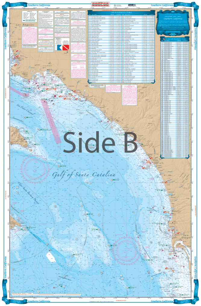
This chart covers the area south from Pt. Dume to south of Descanso, Mexico at 32 degrees north latitude and offshore 60 nautical miles. It includes a total of 444 plotted and indexed GPS positions for rocks, banks, wrecks, artificial reefs, fishing, and 171 diving locations. Added features of this chart include spot specific species and season identifiers for fish, navigation points for major harbors, high quality land detail, and much more. The combination of government charts, local knowledge, and GPS locations make this chart a great value. Whether you are a serious fisherman, or just enjoy having your line in the water, you will want this Southern California and Baja Fishing chart. This fishing chart covers the area south from Point Dume to south of Descanso, Mexico at 32 degrees north latitude and offshore 60 nautical miles. It includes a total of 444 plotted and indexed GPS positions for rocks, banks, wrecks, artificial reefs, fishing, and 171 diving locations. Added features of this marine map include spot specific species and season identifiers for fish, navigation points for major harbors, high quality land detail, and much more. The combination of NOAA charts, local knowledge, and GPS locations make this navigation chart a great value. Information from 2 NOAA charts #18740, and #18766. Nautical Chart is 25″ X 38″. WGS84 – World Mercator Datum.


U.S. Coast Pilot 5: Gulf of Mexico, Puerto Rico, and Virgin Islands - 54th Edition 2026
product was delivered promptly and was exactly what I requested and wanted. Thank you.
I was glad to find this cruising/sailing book, it provided a lot of insight for our sail trip. Would recommend.
This map helps me keep the memories of my incredible trip to Antarctica. It's the same map that was onboard the ship, where our location was marked every day.
Ordered charts got charts the next day.
Excellent quality