Haga doble clic en la imagen para acercarla

Normalmente está listo en 24 horas
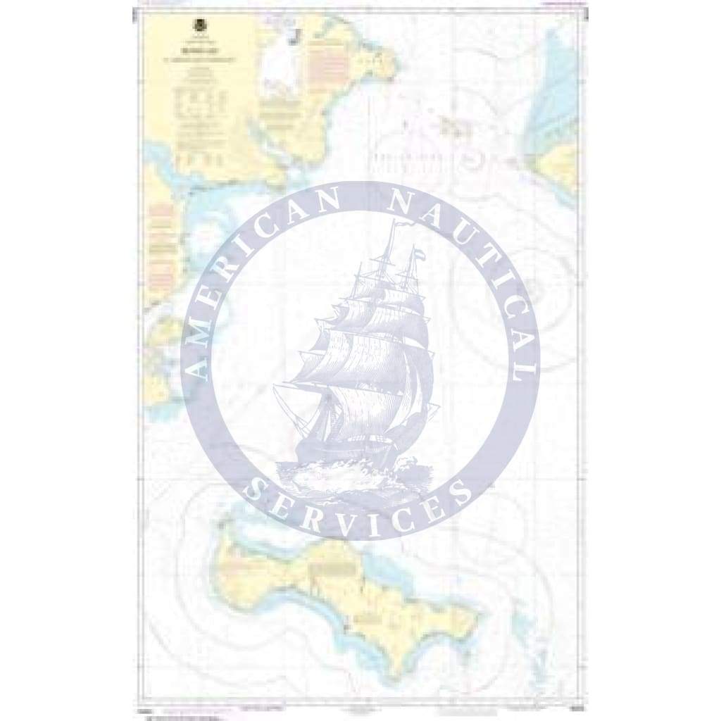
NOAA Nautical Chart 16220: Bering Sea St. Lawrence Island to Bering Strait is a standard navigation chart used by commercial and recreational mariners alike. Printed 'on-demand' with water resistant paper, it contains all of the latest notice to mariner (NTM) updates at the time of printing. The National Oceanic and Atmospheric Administration (NOAA) has partnered with OceanGrafix to provide commercial and recreational mariners with the most accurate nautical charts. This chart meets the definition of a nautical chart laid out in SOLAS Chapter V Regulation 2.2 and also meets the carriage requirements defined in SOLAS Chapter V Regulation 19.2.1.4

+1 954-522-3321
sales@amnautical.com
American Nautical Services, Inc.
3311 S Andrews Ave, Suite 11
Fort Lauderdale, FL 33316
United States of America
Notify me when available
We will send you a notification as soon as this product is available again.
We don't share your email with anybody


