Overview
Get the world’s No. 1 choice in marine mapping1, — with the best, most up-to-date Navionics Platinum+™ premium marine cartography on your compatible chartplotter2. For offshore or inland waters, this all-in-one solution offers detail-rich integrated mapping of coastal waters, lakes, rivers and more. Get 1’ (0.5 meter) HD contours, premier-grade chart features3, including high-resolution relief shading, satellite imagery with SonarChart™ Shading overlay and 3D views, plus dock-to-dock route guidance technology4, live mapping and Plotter Sync to provide wireless access to daily updates. The Navionics® Chart Installer software also ensures access to the freshest chart data every time out. Navionics route guidance solutions give you a suggested path to follow through channels, inlets, marina entrances and more, while multiple shading options aid in shallow water navigation and make it easy to highlight a target depth range for the best fishing spots.
Features
INTEGRATED CONTENT: Integrated Garmin and Navionics content provides exceptional coverage, clarity and detail in a familiar look and feel
DAILY UPDATES: Easy access to daily chart updates is available via the Navionics Chart Installer software or wirelessly via the Plotter Sync feature with the Navionics Boating app5
DOCK-TO-DOCK ROUTE GUIDANCE: Navionics advanced dock-to-dock route guidance technology4 uses your boat settings, along with chart data and frequently traveled routes, to calculate a suggested path to follow
RELIEF SHADING: High-resolution relief shading feature combines color and shadow to give you an easy-to-interpret, clearer view of bottom structure than contour lines alone
SATELLITE IMAGERY WITH SONARCHART SHADING OVERLAY: High-resolution satellite imagery combined with the SonarChart Shading overlay gives you a realistic view of your surroundings — ideal for entering unfamiliar harbors or ports
SONAR IMAGERY: Sonar imagery is a downloadable image overlay that shows bottom hardness in contrasting color so you can easily identify transition areas on select U.S. lakes
AERIAL AND SURFACE PHOTOGRAPHY: Aerial and surface photography of ports, marinas, bridges, docks, boat ramps, dams and navigational landmarks offers superior situational awareness
3D VIEWS: Unique 3D views provide additional perspective both above and below the water
COMMUNITY EDITS: Download the Community Edits content layer to any Navionics card, and view this valuable, local information — contributed by Navionics Boating app users — on your compatible chartplotter
UP TO 1’ CONTOURS: For improved fishing and navigation, SonarChart HD bathymetry maps display up to 1’ (0.5 meter) contours, providing a more detailed depiction of bottom structure
FISHING RANGE: Fishing range advanced feature lets you highlight a user-defined target depth range
SHALLOW WATER SHADING: To aid in navigation, the shallow water shading advanced feature highlights depths up to a user-defined level
REAL-TIME MAPPING: SonarChart Live mapping feature allows boaters to create new personal 1’ HD bathymetry maps that display in real time on the screens of their compatible plotters while navigating
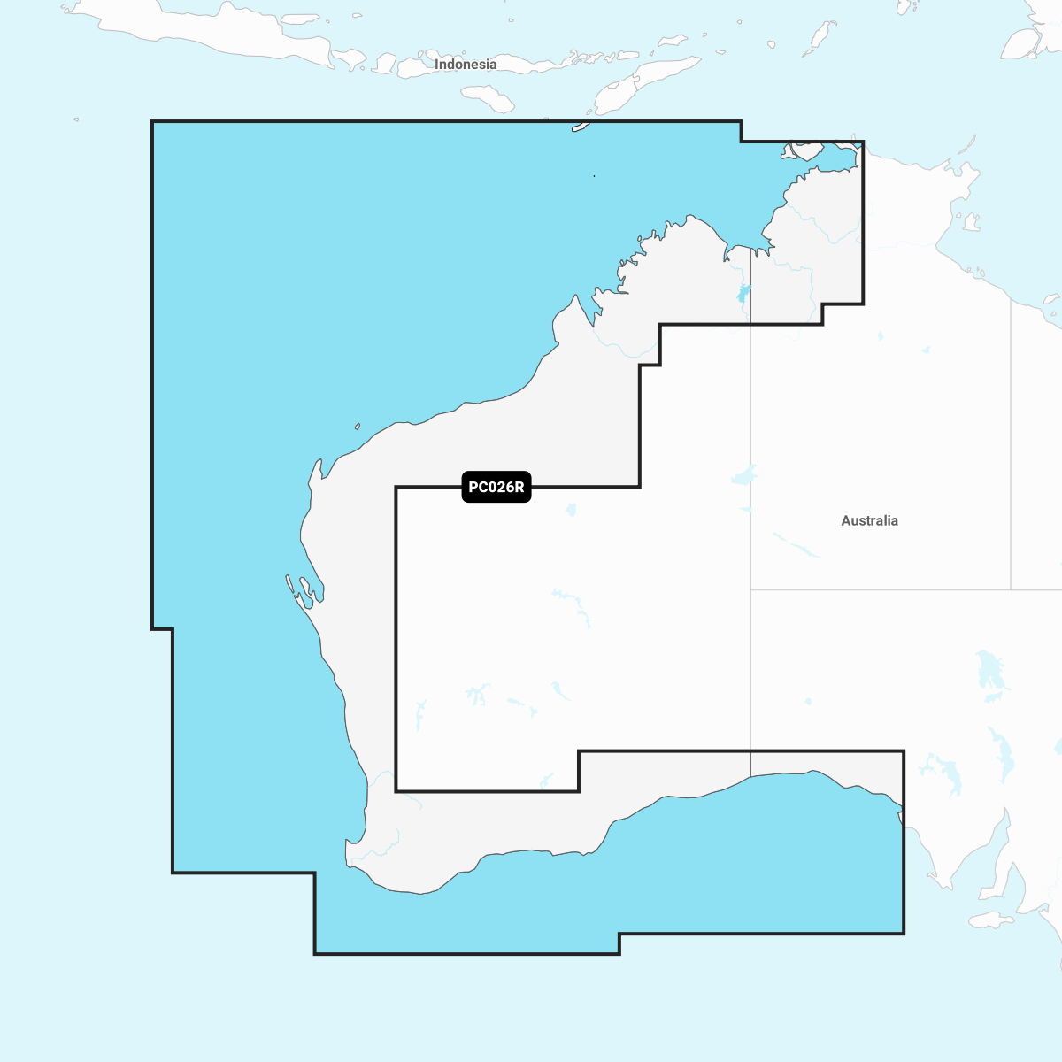
COVERAGE: Worldwide coverage available
ANNUAL RENEWABLE SUBSCRIPTION: Available on microSDTM cards; cartography updates are available via annual renewable subscription (the first year of updates is included)