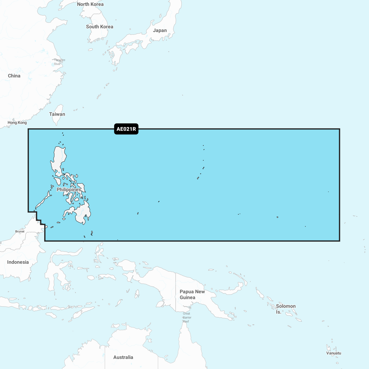
Discover unparalleled marine navigation with the Navionics Platinum+ Chart AE021R: Philippines. Designed for serious boaters and fishermen, this premium chart provides the most accurate and detailed mapping for navigating the beautiful waters of the Philippines.
With cutting-edge technology, the Navionics Platinum+ Chart delivers remarkable features that enhance your on-water experience:
-
High-Definition Contours: Experience unbelievable clarity with 1' (0.5 meter) HD contours, ensuring you have precise information about water depth and bottom structure.
-
Interactive Mapping Solutions: Utilize the dock-to-dock route guidance feature, which calculates the best path based on your boat settings and frequently traveled routes.
The Navionics Platinum+ Chart AE021R stands out with integrated content, featuring advanced mapping technologies, including high-resolution relief shading, satellite imagery, and 3D views. This comprehensive approach helps you visualize underwater topography, making it ideal for fishing and exploring new areas.
Update your charts easily with daily updates available through the Navionics Chart Installer or wirelessly with the Plotter Sync feature. Stay informed with fresh navigation data at your fingertips, ensuring you always have the latest information while out on the water.
Community Edits, contributed by local users, provide valuable insights and enhancements. This allows you to access real-time information shared by fellow boaters, improving your overall navigational experience.
Enhance your fishing adventures with features like Fishing Range, which highlights your preferred target depth, and Shallow Water Shading, helping you safely navigate through shallow areas. With Navionics Platinum+ Chart AE021R: Philippines, enjoy seamless navigation and unparalleled access to the stunning beauty of the Philippine waters.